Near Plumville in Lewis County, Kentucky — The American South (East South Central)
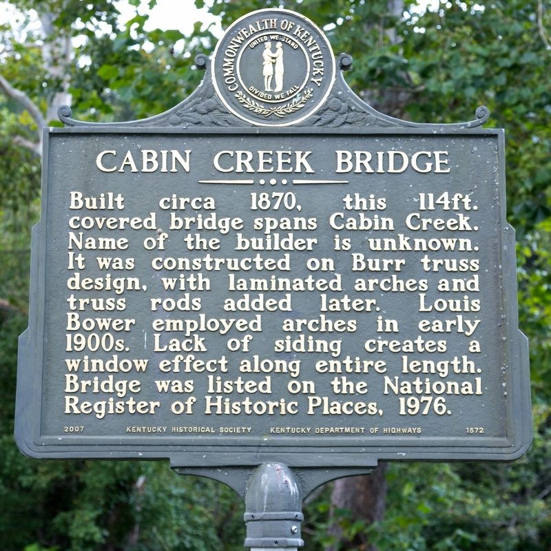
Cabin Creek Bridge
⎯⎯⎯
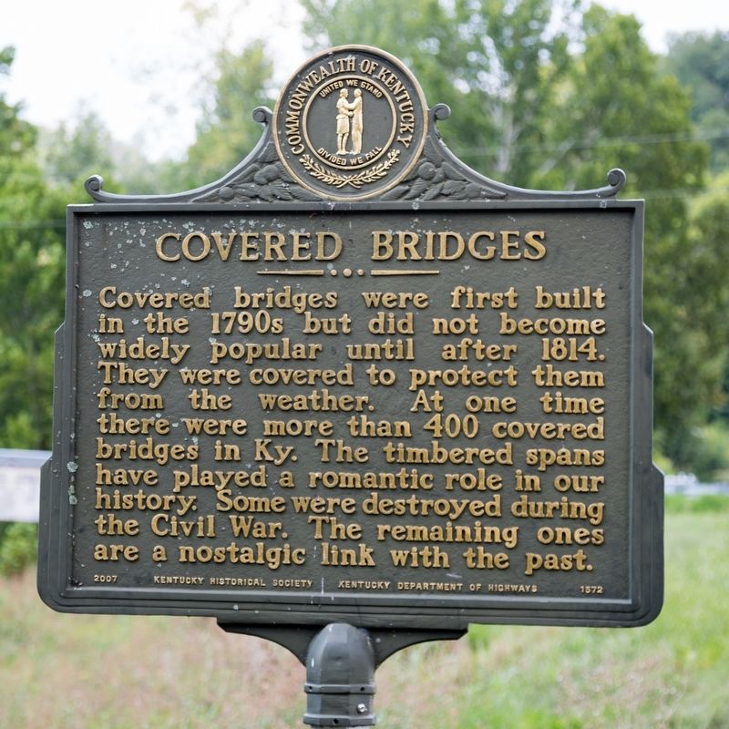
Covered Bridges
Photographed by J. J. Prats, August 23, 2021
1. Cabin Creek Bridge side of marker
Covered bridges were first built in the 1790s but did not become widely popular until after 1814. They were covered to protect them from the weather. At one time there were more than 400 covered bridges in Kentucky. The timbered spans have played a romantic role in our history. Some were destroyed during the Civil War. The remaining ones are a nostalgic link with the past.
Erected 2007 by Kentucky Historical Society and Kentucky Department of Highways. (Marker Number 1572.)
Topics and series. This historical marker is listed in this topic list: Bridges & Viaducts. In addition, it is included in the Covered Bridges, and the Kentucky Historical Society series lists. A significant historical year for this entry is 1870.
Location. 38° 36.603′ N, 83° 37.262′ W.
this page online

Regionally, this marker is in the American South, specifically in the Upper South, in the Ohio River Valley, in Appalachia, and specifically in Southern Appalachia. Globally, it is in North America, the Western Hemisphere, the Western World, and the Anglosphere. Historically, it finds itself in what was once the territory of the Mississippian Culture and also the Antebellum South.
Other nearby markers. At least 8 other markers are within 6 miles of this marker, measured
Photographed by J. J. Prats, August 23, 2021
2. Covered Bridges side of markers
Photographed by J. J. Prats, August 23, 2021
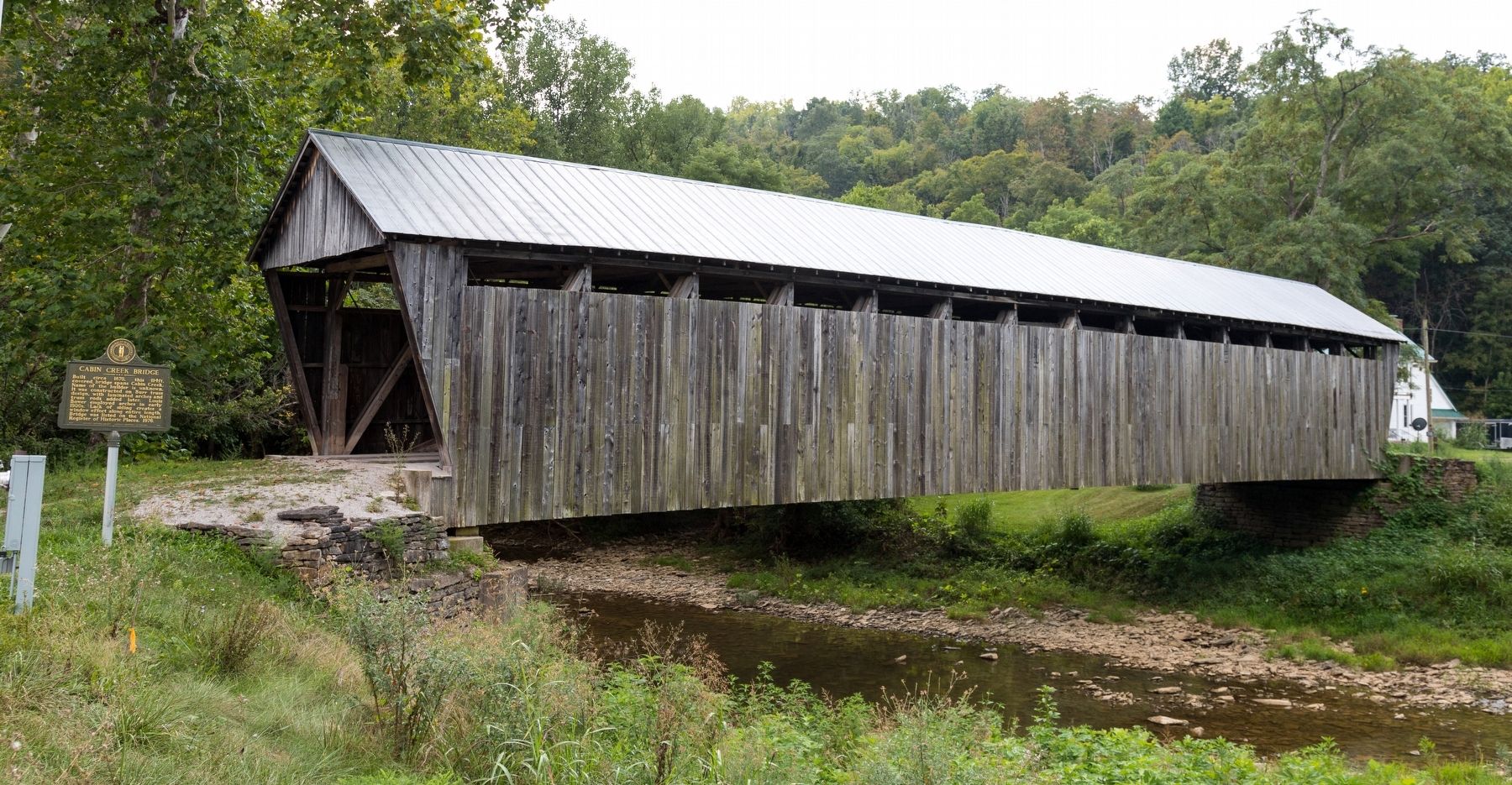
3. Cabin Creek Bridge and Marker
Photographed by J. J. Prats, August 23, 2021
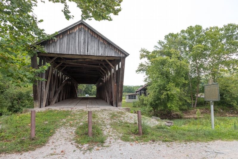
4. Cabin Creek Bridge and Marker
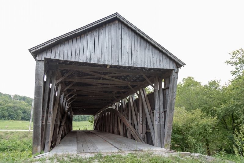
Photographed by J. J. Prats, August 23, 2021
5. Cabin Creek Bridge, Looking East
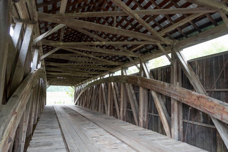
Photographed by J. J. Prats, August 23, 2021
6. Cabin Creek Bridge, Interior
Credits. This page was last revised on August 27, 2021. It was originally submitted on August 27, 2021, by J. J. Prats of Powell, Ohio. This page has been viewed 544 times since then and 38 times this year. Photos: 1, 2, 3, 4, 5, 6. submitted on August 27, 2021, by J. J. Prats of Powell, Ohio.
