Falmouth in Pendleton County, Kentucky — The American South (East South Central)
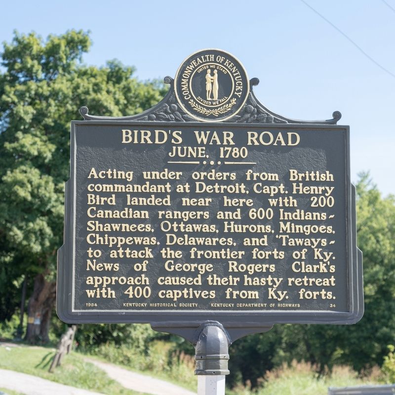
Bird’s War Road
June 1780
Erected 1964 by Kentucky Historical Society and Kentucky Department of Highways. (Marker Number 34.)
Topics and series. This historical marker is listed in this topic list: War, US Revolutionary. In addition, it is included in the Kentucky Historical Society series list. A significant historical month for this entry is June 1780.
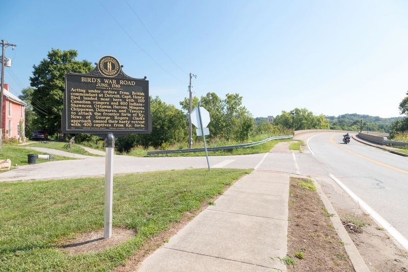
Location. 38° 40.683′ N, 84° 19.766′ W. Marker is in Falmouth, Kentucky, in Pendleton County. Marker is at the intersection of Main Street (Kentucky Route 22) and 2nd Street, on the left when traveling north on Main Street. Touch for map. Marker is in this post office area: Falmouth KY 41040, United States of America. Touch for directions.
Other nearby markers. At least 8 other markers are within 11 miles of this marker, measured as the crow flies. County Named 1798 (about 300 feet away, measured in a direct line); The Kennett Tavern (about 400 feet away); Virgilene Ritter Moore • Walter B. Moore (about 500 feet away); Bell (about 500 feet away); Albert A. Jameson (approx. 0.2 miles away); John Waller (approx. 4.1 miles away); British Indian Raid (approx. 6 miles away); Bold House (approx. 10½ miles away). Touch for a list and map of all markers in Falmouth.
Also see . . . Wikipedia entry. Excerpt:
Bird's invasion of Kentucky during the American Revolutionary War was one phase of an extensive planned series of operations planned by the British in 1780, whereby the entire West, from Quebec to the Gulf of Mexico, was to be swept clear of both Spanish and colonial resistance.(Submitted on August 29, 2021.)
British authorities, during the spring of 1780, prepared to carry out a comprehensive plan for the recapture of the Illinois Country and to attack St. Louis, New Orleans, and other Spanish posts on the Mississippi River. Spain, allied with France, had joined the war against Great Britain in 1779, and had rapidly gained control over British positions along the Mississippi in that year. Four simultaneous movements were planned. Capt. Henry Bird, with a force from Detroit, was directed to "amuse" George Rogers Clark at the Falls of the Ohio. General John Campbell, 5th Duke of Argyll, from Pensacola, after taking New Orleans was to proceed up the Mississippi to Natchez where he was to be joined by a third force that descended the Illinois River and captured St. Louis. Capt. Charles de Langlade was to lead the force down the Illinois, which was to split up and also monitor Vincennes.
No part of the plan proved successful. Campbell was preoccupied with the threat posed by Bernardo de Gálvez, the governor of Spanish Louisiana, who captured Mobile in March 1780 (and then also captured Pensacola in 1781). The expedition against St. Louis was repulsed. Langlade withdrew his remaining forces when Illinois cavalry approached.
Credits. This page was last revised on August 29, 2021. It was originally submitted on August 29, 2021, by J. J. Prats of Powell, Ohio. This page has been viewed 471 times since then and 76 times this year. Photos: 1, 2. submitted on August 29, 2021, by J. J. Prats of Powell, Ohio.

