Near Warrenton in Warren County, North Carolina — The American South (South Atlantic)
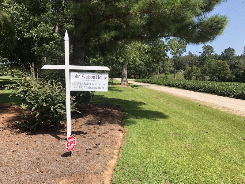
John Watson House
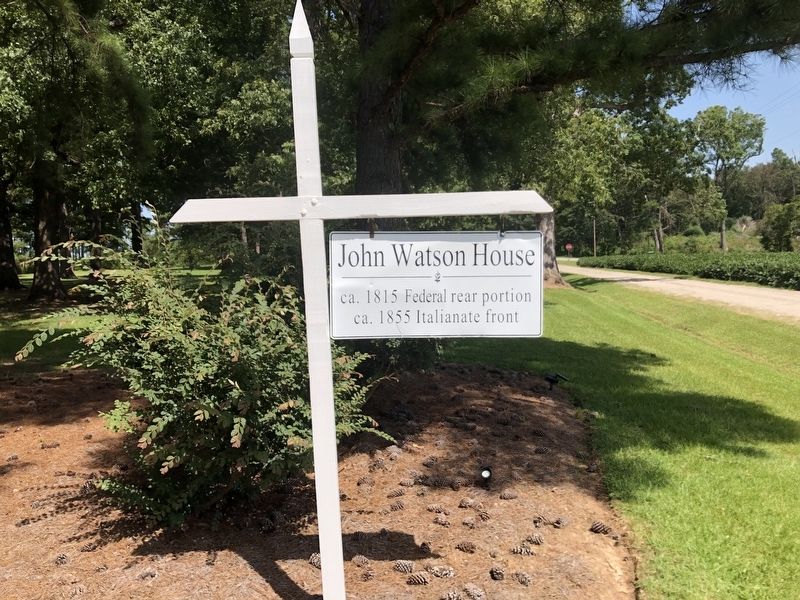
ca. 1855 Italianate front
Topics. This historical marker is listed in this topic list: Architecture. A significant historical year for this entry is 1815.
Location. 36° 21.824′ N, 78° 10.925′ W. Marker is near Warrenton, North Carolina, in Warren County. It is on Pet Burwell Road (State Highway 1604) 0.1 miles west of U.S. 401, on the right when traveling west. Touch for map. Marker is at or near this postal address: 128 Pet Burwell Rd, Warrenton NC 27589, United States of America. Touch for directions.

Regionally, this marker is in the Coastal Plain. It is also in the American South and specifically in the Upper South. Globally, it is in North America, the Western Hemisphere, the Western World, and the Anglosphere. Historically, it finds itself in what was once the territory of the Mississippian Culture, one of the original Thirteen Colonies, one of the Confederate States of America, and the Antebellum South.
Other nearby markers. At least 8 other markers are within 3 miles of this marker, measured as the crow flies: "Bridle Creek" (approx. ¾ mile away); John White (approx.
this page online
Credits. This page was last revised on August 29, 2021. It was originally submitted on August 29, 2021, by Devry Becker Jones of Washington, District of Columbia. This page has been viewed 529 times since then and 45 times this year. Photos: 1, 2. submitted on August 29, 2021, by Devry Becker Jones of Washington, District of Columbia.
Editor’s want-list for this marker. A photo of the house • Can you help?
