Amalthea Central College in Westerville in Franklin County, Ohio — The American Midwest (Great Lakes)
Central College Presbyterian Church
Inscription.
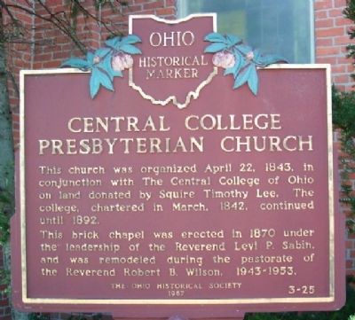
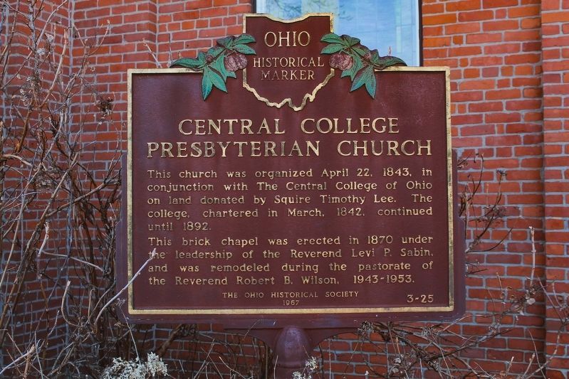
This church was organized April 22, 1843, in conjunction with The Central College of Ohio on land donated by Squire Timothy Lee. The college, chartered in March, 1842, continued until 1892.
This brick chapel was erected in 1870 under the leadership of the Reverend Levi P. Sabin, and was remodeled during the pastorate of the Reverend Robert B. Wilson, 1943-1953.
Erected 1967 by The Ohio Historical Society. (Marker Number 3-25.)
Topics and series. This historical marker is listed in these topic lists: Churches & Religion • Education. In addition, it is included in the Ohio Historical Society / The Ohio History Connection series list. A significant historical month for this entry is March 1842.
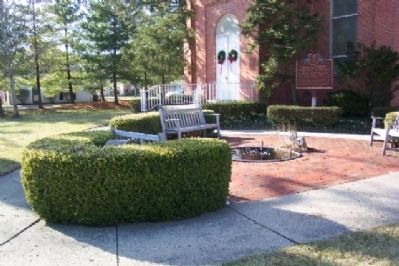
Location. 40° 5.981′ N, 82° 53.362′ W. Marker is in Westerville, Ohio, in Franklin County. It is in Amalthea Central College. Marker is on Sunbury Road, on the right when traveling south. Marker is in front of the 1870 brick Central College Presbyterian Church. Touch for map. Marker is at or near this postal address: 1260 Whitney Ln, Westerville OH 43081, United States of America. Touch for directions.
Other nearby markers. At least 8 other markers are within walking distance of this marker. The Ellsworth Chapel (here, next to this marker); Clarence Boal Hoover / Charles Potter Hoover (approx. 0.6 miles away); Blendon Township War Memorial (approx. 0.8 miles away); Blendon Central Cemetery (approx. 0.8 miles away); First Blendon Presbyterian Church (approx. 0.9 miles away); Edward Phelps (approx. 0.9 miles away); Blendon Township's Early Presbyterian Churches and Church Bell (approx. 0.9 miles away); Phelps Acre Park (approx. 0.9 miles away). Touch for a list and map of all markers in Westerville.
Also see . . . Central College Presbyterian Church web site. (Submitted on April 22, 2009, by William Fischer, Jr. of Scranton, Pennsylvania.)
Credits. This page was last revised on May 19, 2023. It was originally submitted on April 19, 2009, by William Fischer, Jr. of Scranton, Pennsylvania. This page has been viewed 1,089 times since then and 27 times this year. Photos: 1. submitted on April 19, 2009, by William Fischer, Jr. of Scranton, Pennsylvania. 2. submitted on May 14, 2023, by Alex Krempasky of Obetz, Ohio. 3. submitted on April 19, 2009, by William Fischer, Jr. of Scranton, Pennsylvania. • Kevin W. was the editor who published this page.


