New Lothrop in Shiawassee County, Michigan — The American Midwest (Great Lakes)
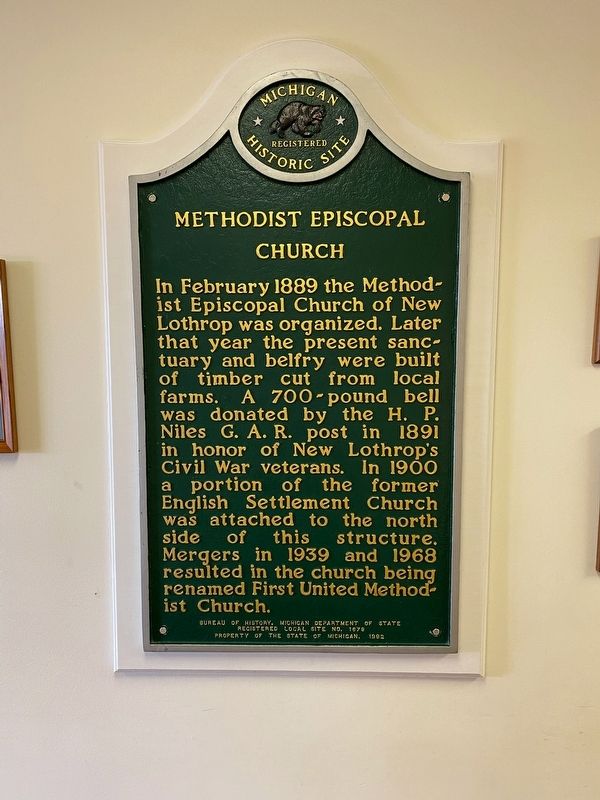
Methodist Episcopal Church
Erected 1992 by Bureau of History, Michigan Department of State. (Marker Number L1679.)
Topics and series. This historical marker is listed in this topic list: Churches & Religion. In addition, it is included in the Michigan Historical Commission series list. A significant historical month for this entry is February 1889.
Location. 43° 6.927′ N, 83° 58.192′ W. Marker is in New Lothrop, Michigan, in Shiawassee County. Marker can be reached from the intersection of Orchard Street and Butternut Street. Located inside the new church. Touch for map. Marker is at or near this postal address: 7495 Orchard St, New Lothrop MI 48460, United States of America. Touch for directions.
Other nearby markers. At least 8 other markers are within 8 miles of this marker, measured as the crow flies. Saint Michael Catholic Parish / Saint Michael Catholic Church and School (approx. 3.3 miles away); Judd's Corners (approx. 4 miles away); Brent Creek United Methodist Church (approx. 4.1 miles away); a different marker also named Methodist Episcopal Church (approx. 5.8 miles away); Montrose Township Cemetery / Methodist Protestant Church (approx. 6˝ miles away); First Methodist Episcopal Church (approx. 7.1 miles away); Flushing World War II Memorial (approx. 7.3 miles away); Flushing Middle East War Memorial (approx. 7.3 miles away).
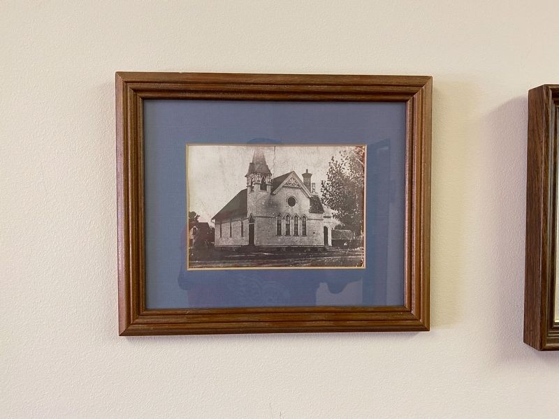
More about this marker. The original church burned in 1999. On 11/16/1999 the State Commission approved having the marker exhibited inside the new church and not returning it to the State. If a marker was originally outdoors, when it was first erected, and later moved indoors it may be included on HMdb.
Credits. This page was last revised on August 30, 2021. It was originally submitted on August 30, 2021, by J.T. Lambrou of New Boston, Michigan. This page has been viewed 98 times since then and 15 times this year. Photos: 1, 2. submitted on August 30, 2021, by J.T. Lambrou of New Boston, Michigan. • Mark Hilton was the editor who published this page.
Editor’s want-list for this marker. Photo of new church. • Can you help?

