Near Roscoe in Sullivan County, New York — The American Northeast (Mid-Atlantic)
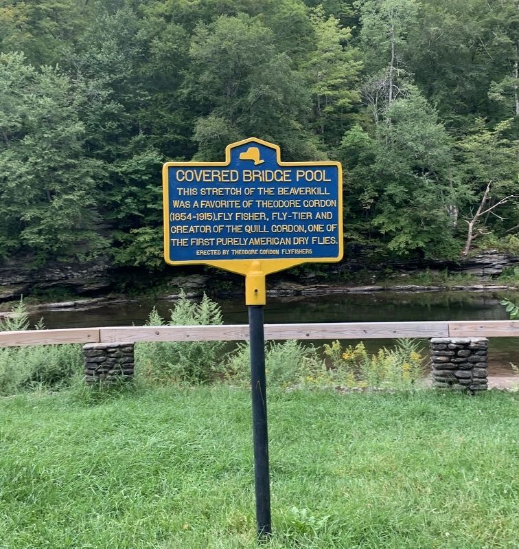
Covered Bridge Pool
Erected by Theodore Gordon Flyfishers.
Topics and series. This historical marker is listed in this topic list: Sports. In addition, it is included in the Covered Bridges series list.
Location. 41° 58.9′ N, 74° 50.156′ W. Marker is near Roscoe, New York, in Sullivan County. Marker is on Craigie Clair Road, 0.1 miles east of Berry Brook Road, on the right when traveling west. Touch for map. Marker is at or near this postal address: 12 Craigie Clair Rd, Roscoe NY 12776, United States of America. Touch for directions.
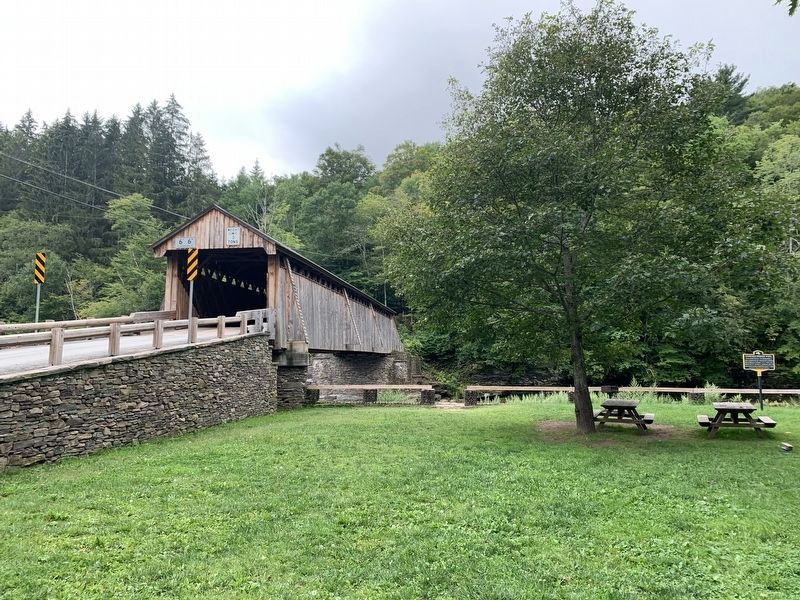
Other nearby markers. At least 8 other markers are within 6 miles of this marker, measured as the crow flies. The Beaverkill Covered Bridge (within shouting distance of this marker); The Catskill Mountains (approx. 4.1 miles away); “They Came to the Mountains by Rail” (approx. 4.1 miles away); Livingston Manor Covered Bridge (approx. 4.6 miles away); Westfield Flats Cemetery (approx. 5.2 miles away); Presbyterian Church (approx. 5.2 miles away); Risen from the Ashes (approx. 5.2 miles away); Devastating Fire (approx. 5.3 miles away). Touch for a list and map of all markers in Roscoe.
Credits. This page was last revised on August 31, 2021. It was originally submitted on August 30, 2021, by Steve Stoessel of Niskayuna, New York. This page has been viewed 113 times since then and 17 times this year. Photos: 1, 2. submitted on August 30, 2021, by Steve Stoessel of Niskayuna, New York. • Bill Pfingsten was the editor who published this page.

