Hidalgo in Hidalgo County, Texas — The American South (West South Central)
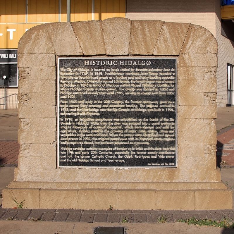
Historic Hidalgo
Photographed by Larry D. Moore, August 27, 2021
1. Historic Hidalgo Marker
From 1848 until early in the 20th Century, the frontier community grew as a trade center, ferry crossing and steamboat landing. The railroad arrived in 1913, and the first bridge over the Rio Grande at Hidalgo was built in 1926, connecting it with Reynosa.
In 1910, an irrigation pumphouse was established on the banks of the Rio Grande in Hidalgo. Water from the river was pumped into a canal system to irrigate thousands of acres of chaparral, which were cleared and sold for agriculture, making possible the growing of sugar cane, cotton, citrus and vegetables in the semi-arid land. When the pumps
this page online
Hidalgo contains notable examples of border-style brick architecture from the late 19th and early 20th Centuries, especially the former county courthouse and jail, the former Catholic Church, the Odell, Rodriguez and Vela stores and the old Hidalgo School and Teacherage.
Erected 2008 by Los Caminos del Rio.
Topics. This historical marker is listed in this topic list: Settlements & Settlers. A significant historical year for this entry is 1749.
Location. 26° 7.457′ N, 98° 14.773′ W. Marker is in Hidalgo, Texas, in Hidalgo County. It can be reached from North 10th Street. Touch for map. Marker is at or near this postal address: 2600 N 10th St, Hidalgo TX 78557, United States of America. Touch for directions.

Regionally, this marker is in South Texas. It is also in the American Borderlands and in the South. Globally, it is in North America, a Gulf of Mexico state, the Western Hemisphere, the Western World, and the Anglosphere. Historically, it finds itself in
Photographed by Larry D. Moore, August 27, 2021
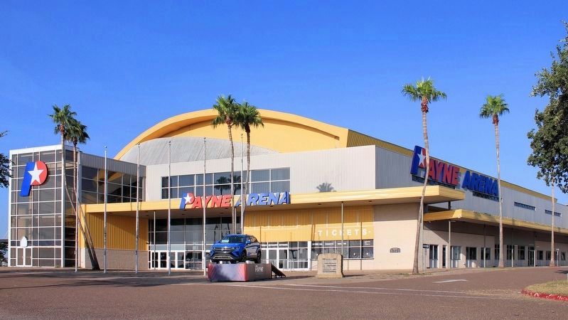
2. Historic Hidalgo Marker
Other nearby markers. At least 8 other markers are within 2 miles of this marker, measured as the crow flies: Elder B. Barton (approx. 1½ miles away); Hidalgo City Cemetery (approx. 1½ miles away); Town of Hidalgo (approx. 1.6 miles away); Approximate Site of Mission San Joaquin del Monte a Visita (approx. 1.6 miles away); Vela Building (approx. 1.8 miles away); Old Hidalgo School (approx. 2 miles away); Old Hidalgo County Jail (approx. 2 miles away); Old Hidalgo County Courthouse (approx. 2 miles away). Touch for a list and map of all markers in Hidalgo.
Credits. This page was last revised on September 1, 2021. It was originally submitted on August 31, 2021, by Larry D. Moore of Del Valle, Texas. This page has been viewed 742 times since then and 81 times this year. Photos: 1, 2. submitted on August 31, 2021, by Larry D. Moore of Del Valle, Texas.
