Wessington Springs in Jerauld County, South Dakota — The American Midwest (Upper Plains)
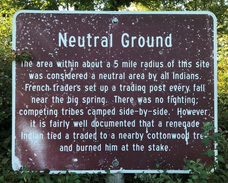
Neutral Ground
Topics. This historical marker is listed in these topic lists: Industry & Commerce • Native Americans.
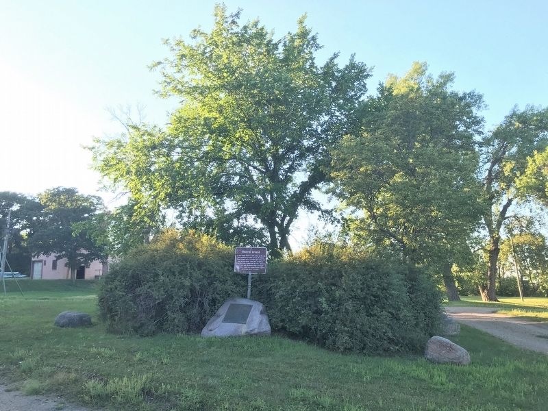
Location. 44° 4.615′ N, 98° 34.388′ W. Marker is in Wessington Springs, South Dakota, in Jerauld County. Marker is on 2nd Street Southwest, 0.1 miles west of Dakota Avenue, on the right when traveling west. Located in Wessington Springs City Park. Touch for map. Marker is in this post office area: Wessington Springs SD 57382, United States of America. Touch for directions.
Other nearby markers. At least 8 other markers are within walking distance of this marker. Noble's Trail Campsite (here, next to this marker); Municipal Field House (within shouting distance of this marker); Wessington Springs Trivia (within shouting distance of this marker); Wessington Springs' First Home (about 300 feet away, measured in a direct line); Legion Hill (about 700 feet away); a different marker also named Legion Hill (about 800 feet away); Governor Vessey - Father of Mother's Day (approx. 0.2 miles away); Wessington Springs Roadside Park (approx. 0.2 miles away). Touch for a list and map of all markers in Wessington Springs.
Credits. This page was last revised on September 1, 2021. It was originally submitted on August 31, 2021. This page has been viewed 137 times since then and 17 times this year. Photos: 1, 2. submitted on August 31, 2021. • Bill Pfingsten was the editor who published this page.

