Huntington in Huntington County, Indiana — The American Midwest (Great Lakes)
Fred A. Loew
Mar. 8, 1874 - Nov. 7, 1950
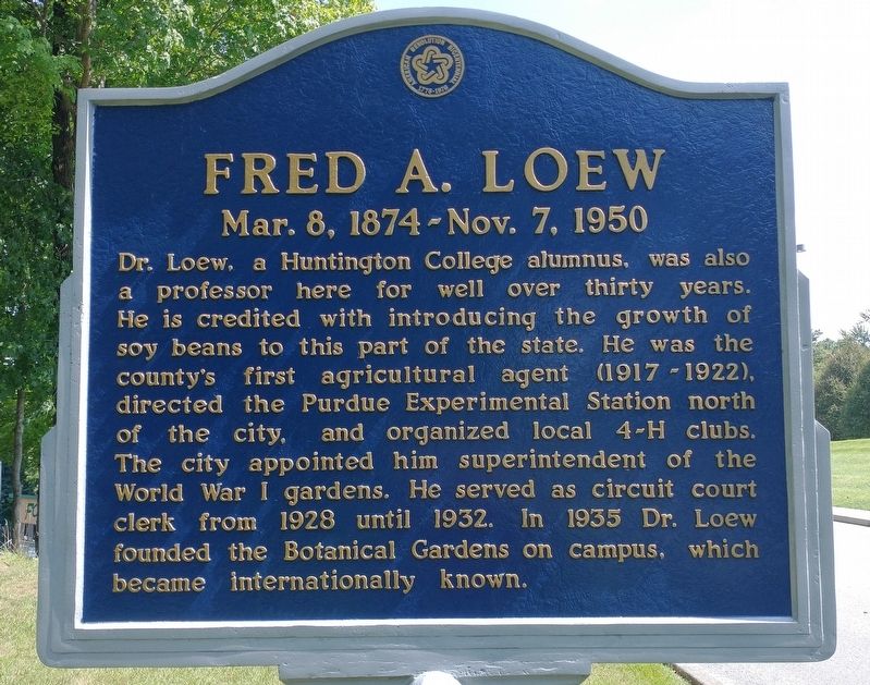
Photographed by Craig Doda, August 28, 2021
1. Fred A. Loew Marker
Erected by American Revolution Bicentennial 1776-1976.
Topics. This historical marker is listed in these topic lists: Education • Horticulture & Forestry • War, World I. A significant historical year for this entry is 1928.
Location. 40° 53.924′ N, 85° 29.718′ W. Marker is in Huntington, Indiana, in Huntington County. It is on College Avenue when traveling north. Touch for map. Marker is in this post office area: Huntington IN 46750, United States of America. Touch for directions.

Regionally, this marker is in Northern Indiana. It is also in the American Midwest
this page online
Other nearby markers. At least 8 other markers are within walking distance of this marker: A different marker also named Fred A. Loew (about 500 feet away, measured in a direct line); The Erie Viaduct (approx. 0.6 miles away); A Business By Any Name (approx. 0.6 miles away); The Wabash & Erie Canal (approx. 0.7 miles away); Hawley Heights Historic District (approx. 0.7 miles away); a different marker also named Hawley Heights Historic District (approx. ¾ mile away); Huntington County Civil War Memorial (approx. 0.9 miles away); a different marker also named Hawley Heights Historic District (approx. 0.9 miles away). Touch for a list and map of all markers in Huntington.
Photographed by Craig Doda, August 28, 2021
2. Fred A. Loew Marker
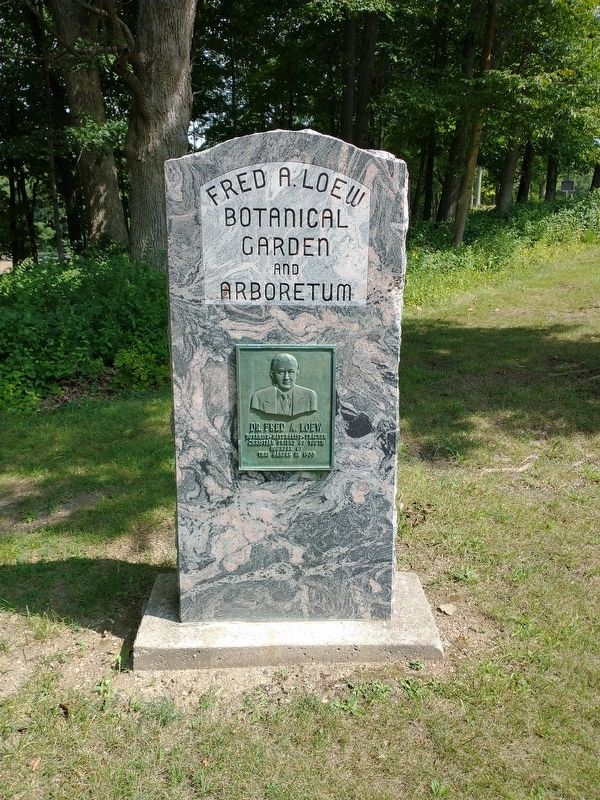
Photographed by Craig Doda, August 28, 2021
3. Fred A. Loew Marker
Credits. This page was last revised on September 2, 2021. It was originally submitted on August 31, 2021, by Craig Doda of Napoleon, Ohio. This page has been viewed 237 times since then and 32 times this year. Photos: 1, 2, 3. submitted on August 31, 2021, by Craig Doda of Napoleon, Ohio. • Bill Pfingsten was the editor who published this page.
