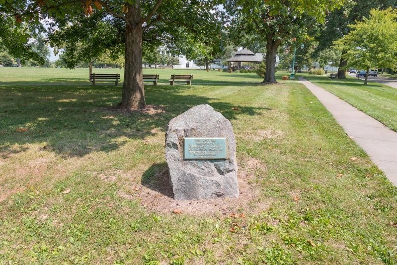
Parkdale in Greenhills in Hamilton County, Ohio — The American Midwest (Great Lakes)
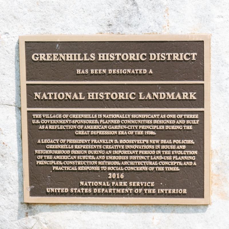
Greenhills Historic District
Has Been Designated a
— National Historic Landmark —
A legacy of President Franklin D. Roosevelt’s New Deal policies, Greenhills represents creative innovations in house and neighborhood design during an important period in the evolution of the American suburbs, and embodies distinct land-use planning principles, construction methods, architectural concepts, and a practical response to social concerns of the times.
Erected 2016 by National Park Service, U.S. Department of the Interior.
Topics. This historical marker is listed in these topic lists: Architecture • Landmarks • Notable Places.
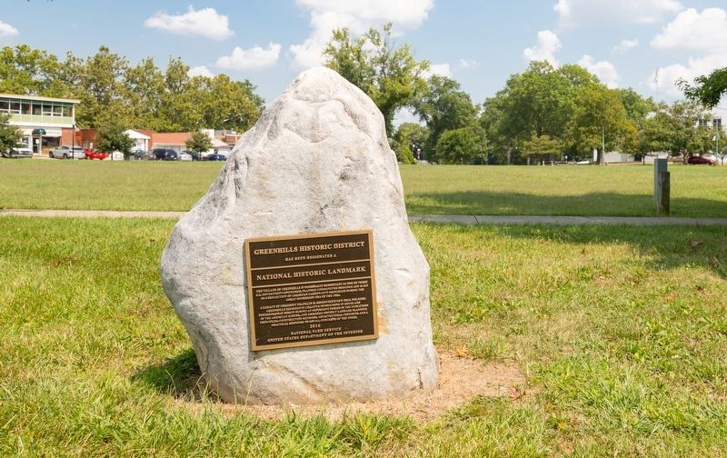
Location. 39° 16.047′ N, 84° 31.364′ W. Marker is in Greenhills, Ohio, in Hamilton County. It is in Parkdale. Marker is on Eswin Street close to Farragut Road, on the right when traveling north. It is on Greenhills Commons. Touch for map. Marker is in this post office area: Cincinnati OH 45218, United States of America. Touch for directions.
Other nearby markers. At least 8 other markers are within 3 miles of this marker, measured as the crow flies. Commemorating our Nation’s Bicentennial and Freedom of the Press (a few steps from this marker); Greenhills (about 300 feet away, measured in a direct line); The Newell School (approx. 1½ miles away); Jediah Hill Covered Bridge (approx. 1.6 miles away); Inventor Obed Hussey Tests His Reaper, 1835 (approx. 1.6 miles away); Old Saint Mary Cemetery (approx. 2.2 miles away); Morgan’s Raid Through Springdale (approx. 2.4 miles away); Maple Knoll Village (approx. 2.4 miles away). Touch for a list and map of all markers in Greenhills.
More about this marker. Unlike most National Historic Landmark plaques, this one qualifies as a historical marker under HMdb guidelines because it states historical facts beyond names and dates.
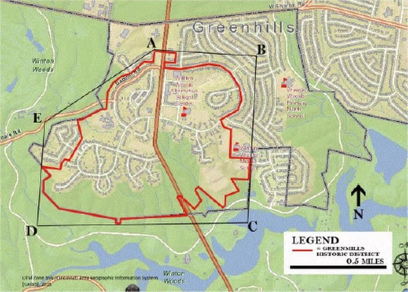
Regarding Greenhills Historic District. The historic district is roughly bounded by Damon and Ingram roads on the north, the corporate limit on the west and south, and Farragut Avenue on the east.
Also see . . . National Register of Historic Places Nomination Form (PDF). Excerpts:
Greenhills is located in Hamilton County, Ohio, about thirteen miles north of downtown Cincinnati. As one of the three "greenbelt towns," named for the belt of parks and farmland that was to encircle each community, the site for the village was carefully selected for its natural topography, consisting of rolling farm fields dropping off into wooded ravines to the south and east, where the west branch of the Mill Creek ran in an eastward direction. The Hamilton County Park District (now known as Great Parks of Hamilton County), founded in 1930, envisioned the area along that part of the Mill Creek as an integral part of a parkway system. Of the 5,930 acres acquired by the U.S. government in 1935, 800 acres were retained within the corporate boundaries of Greenhills and 1642 acres were eventually incorporated into a permanent greenbelt, developed by the park district as Winton Woods Park. That park adjoins 534 acres transferred to the Army Corps of Engineers in 1950 in order to create the West Fork Lake Flood Control Reservoir, which is used for recreation and managed as part of the county park. ...(Submitted on September 1, 2021.)
The historic core of the incorporated Village of Greenhills is illustrated by a plan drawn in 1938 under the Federal government’s Suburban Resettlement Program. The village is characterized by a circuit road network bisected by Winton Road and joined by curving residential lanes, courts and cul-de-sacs occupied by semidetached homes called "duplexes," and multiple-unit row dwellings, as well as detached single family houses; interspersed parks and recreational spaces; and a village center that integrates civic and commercial facilities.
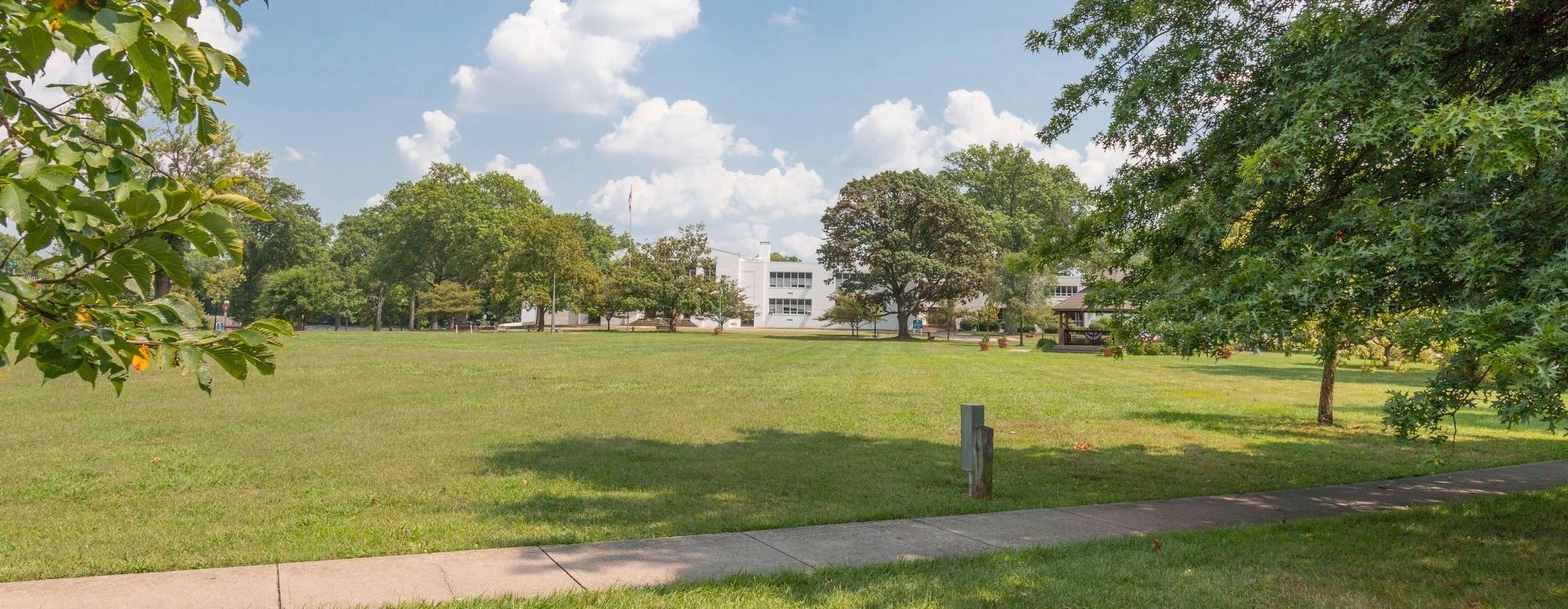
Stylistically, the design and materials of all the major civic and commercial buildings reflect the influence of Stripped Classicism and International style, which provide the village center with a distinct, architectural unity and civic identity. Most prominent is the centrally located Community Building, which is set back on an extensive village green and features an asymmetrical plan and white-painted brick walls, classically inspired entrances and large multi-paned windows.
Most of the residential buildings also exhibit a functional, modernistic variant of the International Style, with flat-roofs, smooth surfaces and flat-roofed entry porches with simple supports. However, in the A and B sections, the first to be built, a simplified Colonial Revival style predominates, characterized by brick exteriors and gabled slate roofs. The architects were careful to provide a wide array of dwelling types by varying the number and type of interconnected units, experimenting with different roof types, adding porches and vestibules, and incorporating garages in different groupings and positions. ...
An important characteristic feature of the New Deal greenbelt towns is the network of sidewalks and pedestrian pathways that link residential streets with nearby parks, the village center, and community facilities. Greenhills's pedestrian circulation system consists of paved pathways that run from the residential streets between homes to parks on the interior of superblocks, and along streets to the village center and schools. This character-defining feature indicates the response of planners and designers of the 1930s in adapting the suburban ideal to the increasing presence and potential dangers of the automobile in American life. It became an essential component in the planning of the greenbelt towns and their demonstration of an ideal for modern suburban life.
Credits. This page was last revised on February 4, 2023. It was originally submitted on September 1, 2021, by J. J. Prats of Powell, Ohio. This page has been viewed 194 times since then and 25 times this year. Photos: 1, 2, 3, 4, 5. submitted on September 1, 2021, by J. J. Prats of Powell, Ohio.
