Near Mullen in Hooker County, Nebraska — The American Midwest (Upper Plains)
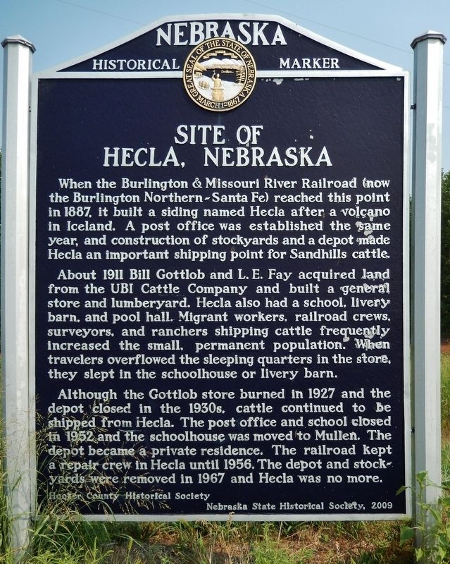
Site of Hecla, Nebraska
When the Burlington & Missouri River Railroad (now the Burlington Northern-Santa Fe) reached this point in 1887, it built a siding named Hecla after a volcano in Iceland. A post office was established the same year, and construction of stockyards and a depot made Hecla an important shipping point for Sandhills cattle.
About 1911 Bill Gottlob and L. E. Fay acquired land from the UBI Cattle Company and built a general store and lumberyard. Hecla also had a school, livery barn, and pool hall. Migrant workers, railroad crews, surveyors, and ranchers shipping cattle frequently increased the small, permanent population. When travelers overflowed the sleeping quarters in the store, they slept in the schoolhouse or livery barn.
Although the Gottlob store burned in 1927 and the depot closed in the 1930s, cattle continued to be shipped from Hecla. The post office and school closed in 1952 and the schoolhouse was moved to Mullen. The depot became a private residence. The railroad kept a repair crew in Hecla until 1956. The depot and stockyards were removed in 1967 and Hecla was no more.
Erected 2009 by Hooker County Historical Society; and Nebraska State Historical Society. (Marker Number 472.)
Topics and series. This historical marker is listed in these topic lists: Industry & Commerce • Railroads & Streetcars • Settlements & Settlers. In addition, it is included in the Nebraska State Historical Society series list. A significant historical year for this entry is 1887.
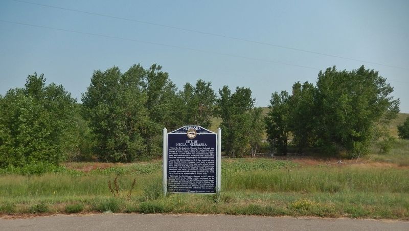
Location. 42° 2.244′ N, 101° 14.381′ W. Marker is near Mullen, Nebraska, in Hooker County. Marker is on Southwest 1st Street (State Highway 2) 10 miles west of North Washington Avenue (State Highway 97), on the right when traveling west. Marker is located in a pull-out on the north side of the highway. Touch for map. Marker is in this post office area: Mullen NE 69152, United States of America. Touch for directions.
Other nearby markers. At least 1 other marker is within 10 miles of this marker, measured as the crow flies. Mullen (approx. 10 miles away).
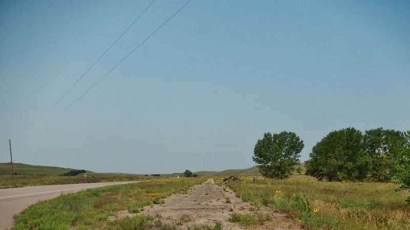
Regarding Site of Hecla, Nebraska. There are no visible remains of Hecla anywhere near the marker.
Also see . . .
1. History of of Hecla, Nebraska. (by Pauline Gottlob Thurston; includes photos of the Gottlob family and their house) ...highway #2 was soon to be built and Dean Schufeldt of Hyannis moved in with horses, fresnos and camping gear to start grading the road. Later another construction crew moved in and finished the project. They rented the old Pool Hall for headquarters and a dining
room. By this time there wasn't much left at
Hecla, the depot, two section houses and a
few box cars and a water tower. The few
homes were torn down or vacated. (Submitted on September 2, 2021, by Cosmos Mariner of Cape Canaveral, Florida.)
2. Hecla, Nebraska (ghosttowns.com). (by Brian Garner; includes photos of the Railroad Depot and General Store) There were a few buildings and a stockyard for the area ranchers to load their cattle onto the trains. The largest cattle drive in the Sandhills of Nebraska took place here. 5,000 head of steers were moved to Hecla by 19 cowboys and one cook. It took 17 hours and several trains to load all of the cattle. I think the town was done in by a tornado and was never rebuilt. (Submitted on September 2, 2021, by Cosmos Mariner of Cape Canaveral, Florida.)
Credits. This page was last revised on September 2, 2021. It was originally submitted on September 2, 2021, by Cosmos Mariner of Cape Canaveral, Florida. This page has been viewed 383 times since then and 79 times this year. Photos: 1, 2, 3. submitted on September 2, 2021, by Cosmos Mariner of Cape Canaveral, Florida.


