Thedford in Thomas County, Nebraska — The American Midwest (Upper Plains)
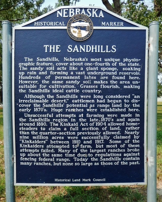
The Sandhills
The Sandhills, Nebraska’s most unique physiographic feature, covers about one-fourth of the state. The sandy soil acts like a giant sponge, soaking up rain and forming a vast underground reservoir. Hundreds of permanent lakes are found here. However, the same sandy soil makes the area unsuitable for cultivation. Grasses flourish, making the Sandhills ideal cattle country.
Although the Sandhills were long considered “an irreclaimable desert,” cattlemen had begun to discover the Sandhills’ potential as range land by the early 1870’s. Huge ranches were established here.
Unsuccessful attempts at farming were made in the Sandhills region in the late 1870’s and again around 1890. The Kinkaid Act of 1904 allowed homesteaders to claim a full section of land, rather than the quarter-section previously allowed. Nearly nine million acres were successfully claimed by “Kinkaiders” between 1910 and 1917. Some of the Kinkaiders attempted to farm, but most of these attempts failed. Many of the largest ranches broke up about the same time due to regulations against fencing federal range. Today the Sandhills contain many ranches, but none so large as those of the past.
Erected by Historical Land Mark Council. (Marker Number 63.)
Topics and series. This historical marker is listed in these topic lists: Agriculture • Settlements & Settlers. In addition, it is included in the Nebraska State Historical Society series list. A significant historical year for this entry is 1904.
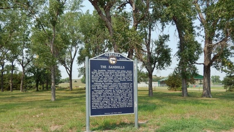
Location. 41° 58.921′ N, 100° 32.227′ W. Marker is in Thedford, Nebraska, in Thomas County. Marker is at the intersection of Mercure Loop (State Highway 2) and U.S. 83 on Mercure Loop. Marker is located in the rest area at the northwest corner of the intersection, near the Thomas County Fairgrounds. Touch for map. Marker is in this post office area: Thedford NE 69166, United States of America. Touch for directions.
Other nearby markers. At least 2 other markers are within 2 miles of this marker, measured as the crow flies. The Nebraska Sandhills (here, next to this marker); The Haumann Sisters: Lost in the Sandhills (approx. 1.9 miles away).
Related markers. Click here for a list of markers that are related to this marker.
Also see . . .
1. Nebraska Sandhills. The Nebraska Sandhills region is the largest sand dune formation in the Western Hemisphere, spanning over one-fourth the total land area of Nebraska. Formed after the last Ice Age when winds blew the loose sand deposited by retreating glaciers, the Sandhills
were shaped into dunes as high as four hundred feet and stretching over twenty miles across the landscape. Native grassland covers 19,600 square miles, or 95% of the wind-deposited sand dunes. Its geology makes the area rich for wildlife, water and ranching. (Submitted on September 2, 2021, by Cosmos Mariner of Cape Canaveral, Florida.)
2. The Kinkaid Act of 1904. The Kinkaid Act allowed settlers in 37 counties of western Nebraska — known as the “Sandhills” — to claim up to 640 acres (a full section) rather than the standard 160. Providing so much additional land in an area of the state with a harsh climate and lower-quality soil gave those settlers a much better chance at completing all of the government’s requirements and eventually taking title to the property. However, even with a full section, farming in the Sandhills was very difficult. On the other hand, ranching with only 640 acres was nearly impossible as well. (Submitted on September 2, 2021, by Cosmos Mariner of Cape Canaveral, Florida.)
Credits. This page was last revised on September 2, 2021. It was originally submitted on September 2, 2021, by Cosmos Mariner of Cape Canaveral, Florida. This page has been viewed 138 times since then and 17 times this year. Photos: 1, 2. submitted on September 2, 2021, by Cosmos Mariner of Cape Canaveral, Florida.

