Thedford in Thomas County, Nebraska — The American Midwest (Upper Plains)
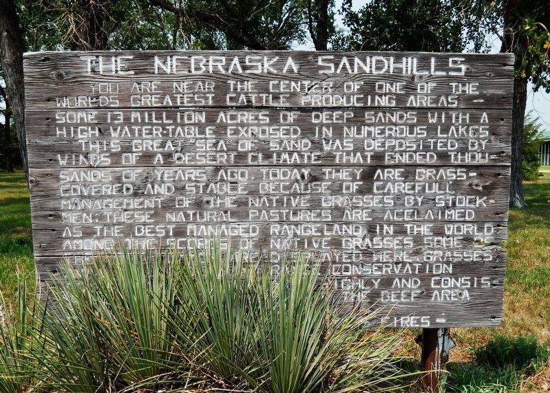
The Nebraska Sandhills
You are near the center of one of the world’s greatest cattle producing areas — some 13 million acres of deep sands with a high water-table exposed in numerous lakes.
This great sea of sand was deposited by winds of a desert climate that ended thousands of years ago. Today they are grass-covered and stable because of careful management of the native grasses by stockmen; these natural pastures are acclaimed as the best managed rangeland in the world. Among the scores of native grasses some of the most common are displayed here. Grasses, available water, and range conservation combine to make the area highly and consistently productive. This is the beef area of the beef state.
Topics. This historical marker is listed in these topic lists: Agriculture • Industry & Commerce.
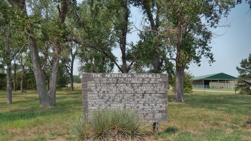
Location. 41° 58.922′ N, 100° 32.224′ W. Marker is in Thedford, Nebraska, in Thomas County. Marker is at the intersection of Mercure Loop (State Highway 2) and U.S. 83 on Mercure Loop. Marker is located in the rest area at the northwest corner of the intersection, near the Thomas County Fairgrounds. Touch for map. Marker is in this post office area: Thedford NE 69166, United States of America. Touch for directions.
Other nearby markers. At least 2 other markers are within 2 miles of this marker, measured as the crow flies. The Sandhills (here, next to this marker); The Haumann Sisters: Lost in the Sandhills (approx. 1.9 miles away).
Related markers. Click here for a list of markers that are related to this marker.
Also see . . . The Nebraska Sandhills. With dunes that are as high as 400 feet, as long as 20 miles, and slopes as steep as 25 percent, the Sandhills are the largest sand dune formations in the Western Hemisphere plus one of the largest grass-stabilized dune regions in the world. The Sandhills also have numerous lakes and wetlands. Many of the valleys contain lakes and/or wet meadows that are supplied water by a groundwater reservoir (aquifer) that holds an estimated 700-800 million acre-feet of water. (Submitted on September 2, 2021, by Cosmos Mariner of Cape Canaveral, Florida.)
Credits. This page was last revised on September 3, 2021. It was originally submitted on September 2, 2021, by Cosmos Mariner of Cape Canaveral, Florida. This page has been viewed 155 times since then and 18 times this year. Photos: 1, 2. submitted on September 2, 2021, by Cosmos Mariner of Cape Canaveral, Florida.

