Near Grafton in Taylor County, West Virginia — The American South (Appalachia)
Tygart Dam
Grafton
— West Virginia Historic New Deal/CCC Trail —
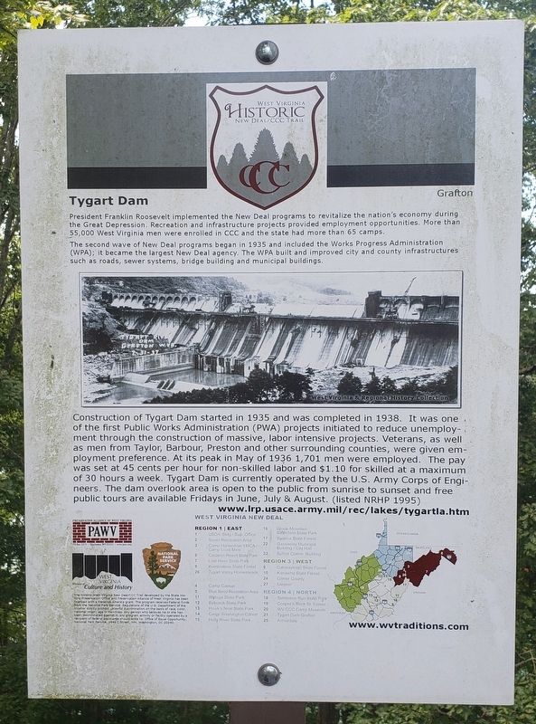
President Franklin Roosevelt implemented the New Deal programs to revitalize the nation's economy during the Great Depression. Recreation and infrastructure projects provided employment opportunities. More than 55,000 West Virginia men were enrolled in CCC and the state had more than 65 camps.
The second wave of New Deal programs began in 1935 and included the Works Progress Administration (WPA); it became the largest New Deal agency. The WPA built and improved city and county infrastructures such as roads, sewer systems, bridge building and municipal buildings.
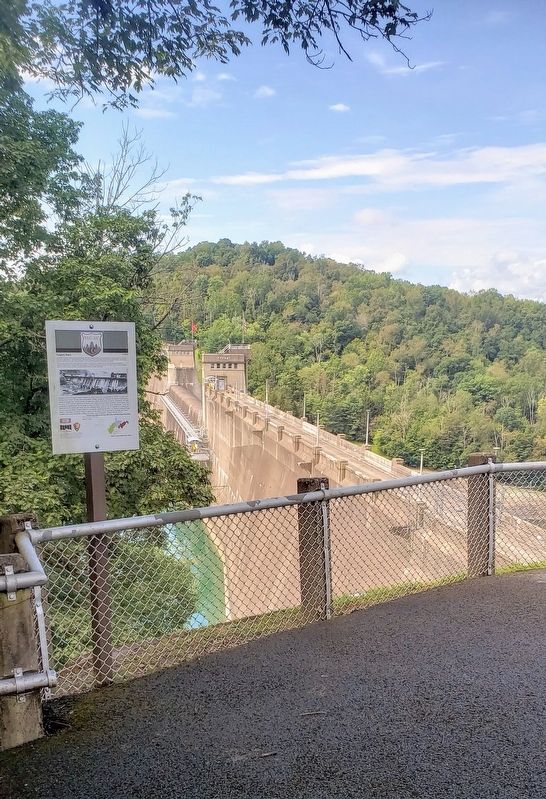
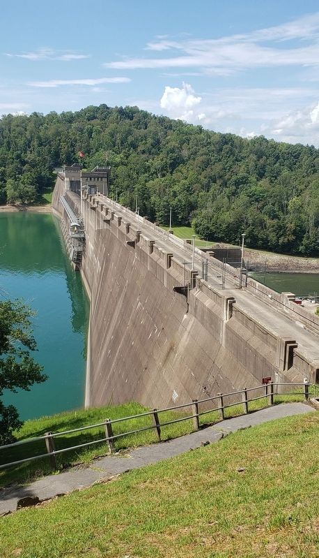
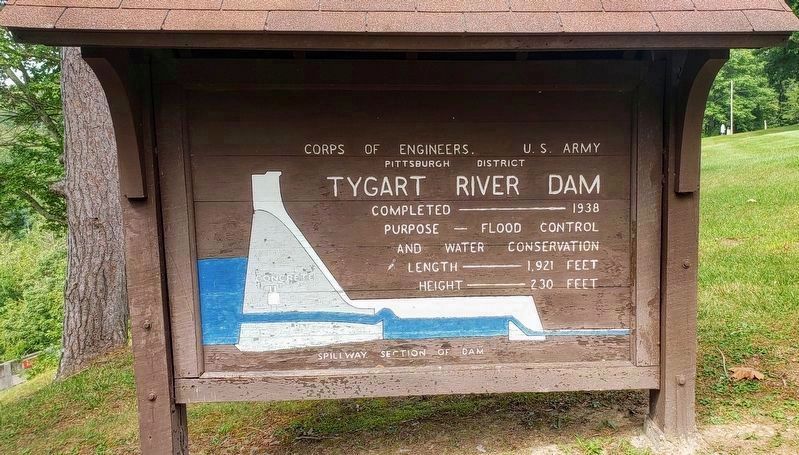
Construction of Tygart Dam started in 1935 and was completed in 1938. It was one of the first Public Works Administration (PWA) projects initiated to reduce unemployment through the construction of massive, labor intensive projects. Veterans, as well as men from Taylor, Barbour, Preston and other surrounding counties, were given employment preference. At its peak in May of 1936 1,701 men were employed. The pay was set at 45 cents per hour for non-skilled labor and $1.10 for skilled at a maximum of 30 hours a week. Tygart Dam is currently operated by the U.S. Army Corps of Engineers. The dam overlook area is open to the public from sunrise to sunset and free public tours are available Fridays in June, July & August. (listed NRHP 1995)
Erected by Presentation Alliance of West Virginia, West Virginia Culture and History and the National Park Service.
Topics and series. This historical marker is listed in these topic lists: Charity & Public Work • Waterways & Vessels. In addition, it is included in the Civilian Conservation Corps (CCC), the Former U.S. Presidents: #32 Franklin D. Roosevelt, and the Works Progress Administration (WPA) projects series lists. A significant historical year for this entry is 1935.
Location. 39° 18.776′ N, 80° 1.803′ W. Marker is near Grafton, West Virginia, in Taylor County. Marker can be reached from Paul E. Malone Road (County Road 9/7) 0.4 miles south of Parkview Road (County Road 44), on the right when traveling south. The marker is located at the Tygart Dam overlook on the west side of the parking lot. Touch for map. Marker is at or near this postal address: 530 Paul E Malone Rd, Grafton WV 26354, United States of America. Touch for directions.
Other nearby markers. At least 8 other markers are within 2 miles of this marker, measured as the crow flies. The American Chestnut (within shouting distance of this marker); Anna Jarvis' Birthplace (approx. 1˝ miles away); Ann Reeves Jarvis (approx. 1˝ miles away); Webster (approx. 1˝ miles away); Veterans Memorial (approx. 1.6 miles away); Grafton National Cemetery (approx. 1.6 miles away); A National Cemetery System (approx. 1.6 miles away); Grave of Thornsbury Bailey Brown (approx. 1.7 miles away). Touch for a list and map of all markers in Grafton.
Regarding Tygart Dam. On June 23, 1995, the Tygart River Reservoir Dam was listed on the National Register of Historic Places for its significance to New Deal Policies, Maritime History and also Engineering History.
Credits. This page was last revised on September 7, 2021. It was originally submitted on September 2, 2021, by Bradley Owen of Morgantown, West Virginia. This page has been viewed 152 times since then and 20 times this year. Photos: 1, 2, 3, 4. submitted on September 2, 2021, by Bradley Owen of Morgantown, West Virginia. • Devry Becker Jones was the editor who published this page.


