North Platte in Lincoln County, Nebraska — The American Midwest (Upper Plains)
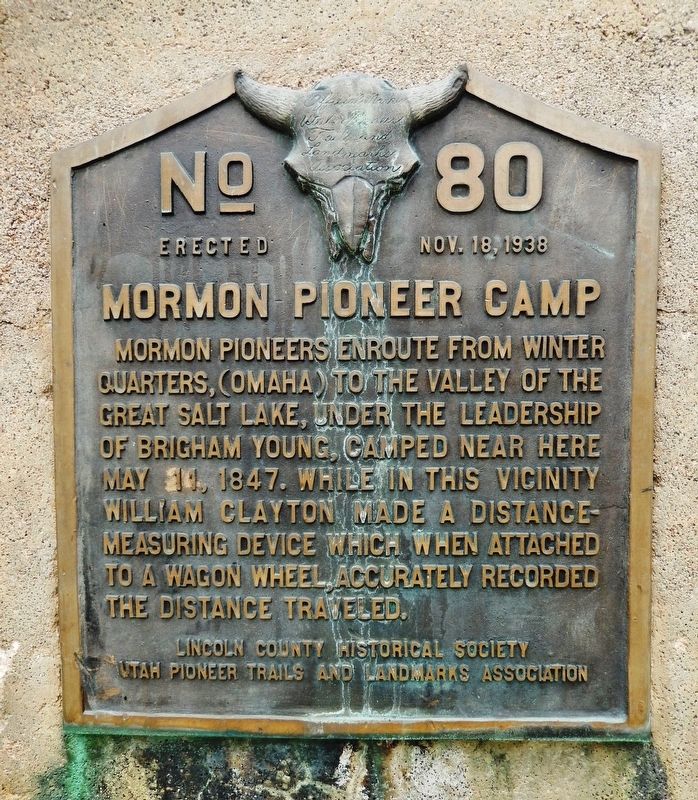
Mormon Pioneer Camp
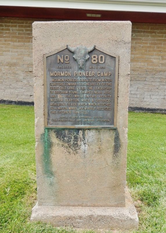
Mormon pioneers enroute from winter quarters, (Omaha) to the valley of the Great Salt Lake, under the leadership of Brigham Young, camped near here May 11, 1847. While in this vicinity William Clayton made a distance-measuring device which when attached to a wagon wheel, accurately recorded the distance traveled.
Erected 1938 by Lincoln County Historical Society; and Utah Pioneer Trails and Landmarks Association. (Marker Number 80.)
Topics and series. This historical marker is listed in these topic lists: Roads & Vehicles • Settlements & Settlers. In addition, it is included in the Mormon Pioneer Trail, and the Utah Pioneer Trails and Landmarks Association series lists. A significant historical date for this entry is May 11, 1847.
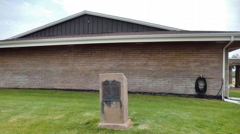
Location. 41° 9.632′ N, 100° 47.454′ W. Marker is in North Platte, Nebraska, in Lincoln County. Marker can be reached from North Buffalo Bill Avenue, 0.8 miles north of Lincoln Highway (U.S. 30), on the right when traveling north. Marker is located beside the parking lot on the north side of the Lincoln County Historical Museum. Touch for map. Marker is at or near this postal address: 2403 North Buffalo Bill Avenue, North Platte NE 69101, United States of America. Touch for directions.
Other nearby markers. At least 8 other markers are within walking distance of this marker. Pony Express (here, next to this marker); Oregon Trail Memorial (here, next to this marker); Brady Island Depot (within shouting distance of this marker); Union Pacific Depot (within shouting distance of this marker); Pawnee Indian Garden (within shouting distance of this marker); U. P. Caboose #25486 (within shouting distance of this marker); Ericsson House (within shouting distance of this marker); Windmill & Cistern (about 300 feet away, measured in a direct line). Touch for a list and map of all markers in North Platte.
Related markers. Click here for a list of markers that are related to this marker. Lincoln County Historical Museum
Also see . . .
1. The 1847 Trek. National Park Service website entry:
The well-traveled Oregon Trail crossed Nebraska along the south side of the Platte and North Platte Rivers, but Young kept his company on an old fur-trade trace along the north bank, hoping to avoid clashes with anti-Mormons who might be bound for Oregon or California. As they traveled, the Mormon pioneers made improvements for those to follow. This would be the primary route for Mormon emigrants over the next two decades, and within a few years it also would become the preferred route of non-Mormons heading west. (Submitted on September 3, 2021, by Cosmos Mariner of Cape Canaveral, Florida.)
2. On the Mormon Pioneer Trail. Deseret News website entry:
Of interest to students of Latter-day Saint history is the fact that near the eastern edge of the city of North Platte, Elder Orson Pratt modified a design for an odometer that could be used to measure the distances traveled. The device was then physically crafted by Appleton Harmon, a skilled pioneer. It could then be implemented by attaching it to one of the wagons in the pioneer company. Up to that point, William Clayton had been keeping track of the miles traveled by counting the revolutions of a wagon wheel — a most tedious job. (Submitted on September 3, 2021, by Cosmos Mariner of Cape Canaveral, Florida.)
Credits. This page was last revised on March 3, 2024. It was originally submitted on September 2, 2021, by Cosmos Mariner of Cape Canaveral, Florida. This page has been viewed 234 times since then and 37 times this year. Photos: 1. submitted on September 2, 2021, by Cosmos Mariner of Cape Canaveral, Florida. 2. submitted on September 3, 2021, by Cosmos Mariner of Cape Canaveral, Florida. 3. submitted on September 2, 2021, by Cosmos Mariner of Cape Canaveral, Florida.


