
Lafayette Park in Detroit in Wayne County, Michigan — The American Midwest (Great Lakes)
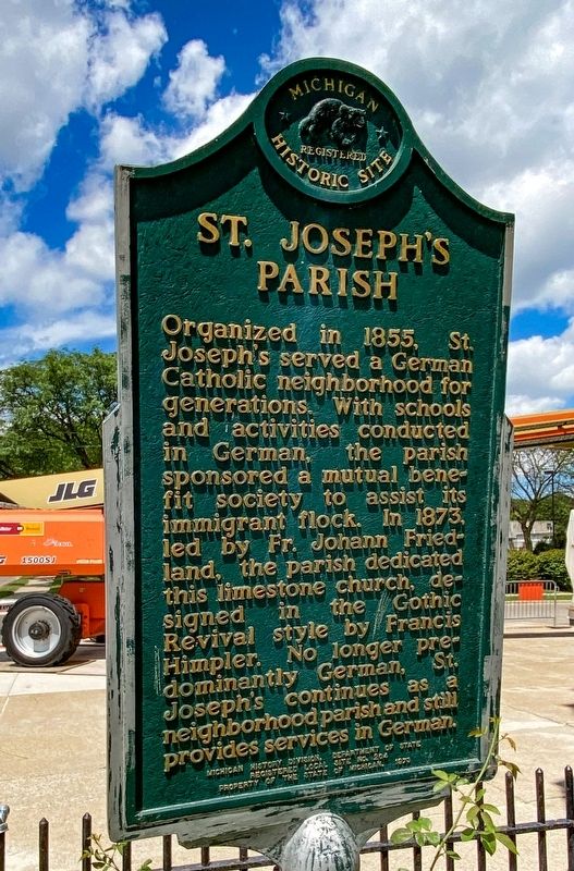
St. Joseph's Parish
Photographed by J.T. Lambrou, July 30, 2021
1. St. Joseph's Parish Marker
Erected 1973 by Michigan History Division, Department of State. (Marker Number L0204.)
Topics and series. This historical marker is listed in this topic list: Religion & Religious Structures. In addition, it is included in the Michigan Historical Commission series list. A significant historical year for this entry is 1855.
Location. 42° 20.732′ N, 83° 2.156′ W. Marker is in Detroit, Michigan, in Wayne County. It is in Lafayette Park. It is at the intersection of Orleans Street and Jay Street, on the right when traveling north on Orleans Street. Touch for map. Marker is at or near this postal address: 1828 Jay St, Detroit MI 48207, United States of America. Touch for directions.

Regionally, this marker is in Southeast Michigan. It is also in the American Midwest. Globally, it is in North America, on the Great Lakes, in the Western Hemisphere, in the Western World, and in the Anglosphere. Historically, it finds itself in what was once the Viceroyalty of New France and also the Northwest Territory.
Other nearby markers. At least 8 other markers are within walking distance of this marker: Trinity Lutheran Church (approx. ¼ mile away); Mies van der Rohe Townhouses (approx. half a mile away); St. John's Presbyterian Church (approx. half a mile away); St. Matthew's Episcopal Church (approx. 0.6 miles away); Paradise Valley (approx. 0.6
this page online
Photographed by J.T. Lambrou, July 30, 2021
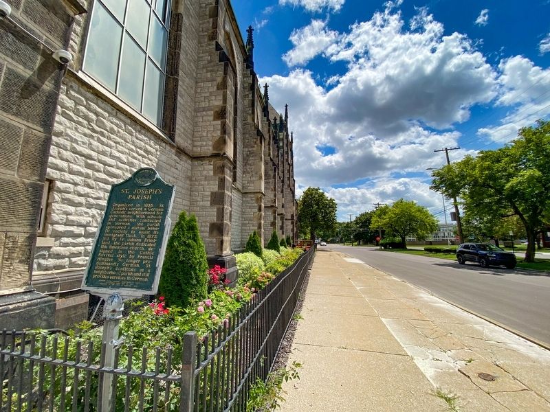
2. St. Joseph's Parish Marker
Looking south along Orleans Street
Photographed by J.T. Lambrou, July 30, 2021
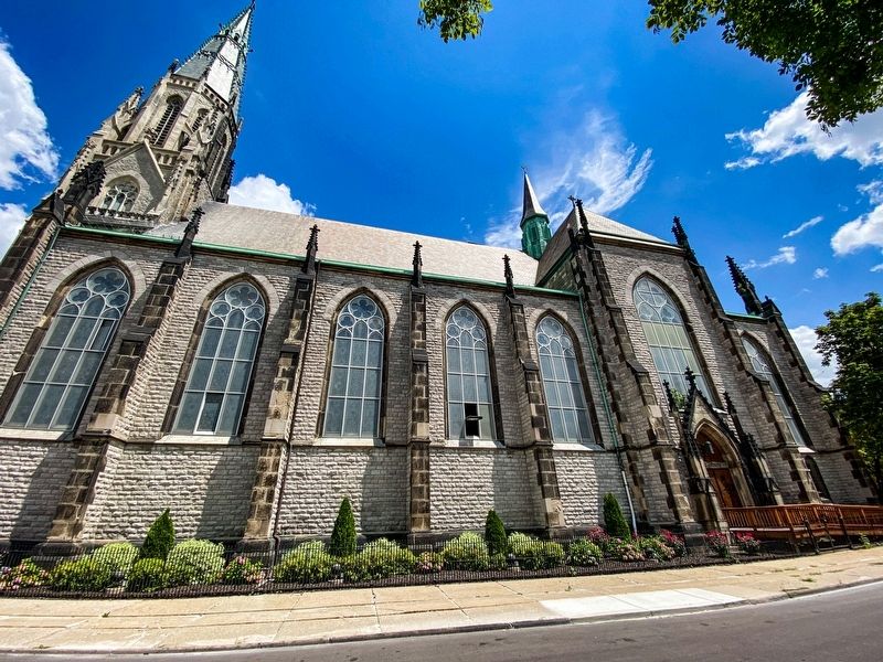
3. St. Joseph's
View looking east on Orleans Street
Photographed by J.T. Lambrou, July 30, 2021
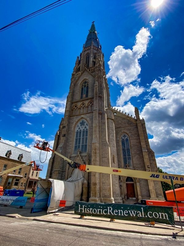
4. St. Joseph's
View from Jay Street
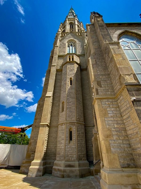
Photographed by J.T. Lambrou, July 30, 2021
5. St. Joseph's
The church was added to the NRHP on December 08, 1972 due to its stained glass.
Credits. This page was last revised on February 12, 2023. It was originally submitted on September 3, 2021, by J.T. Lambrou of New Boston, Michigan. This page has been viewed 601 times since then and 24 times this year. Photos: 1, 2, 3, 4, 5. submitted on September 3, 2021, by J.T. Lambrou of New Boston, Michigan. • Mark Hilton was the editor who published this page.
