Auburn in Worcester County, Massachusetts — The American Northeast (New England)
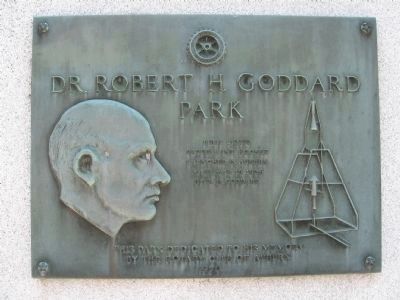
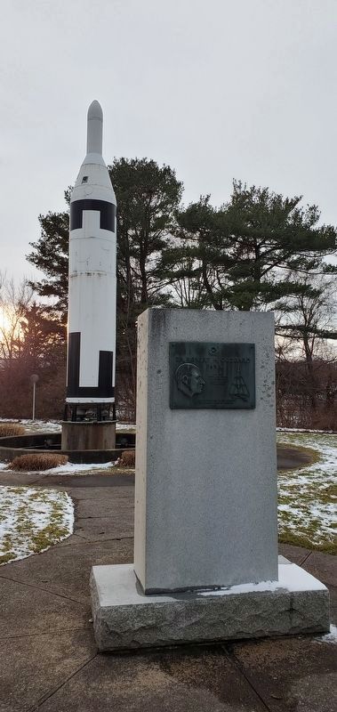
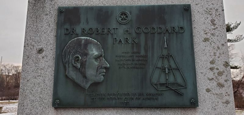
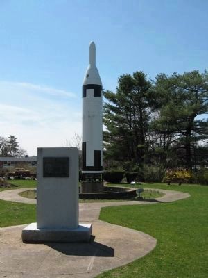
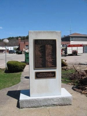
Dr. Robert H. Goddard Park
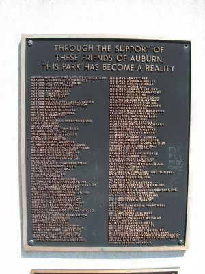
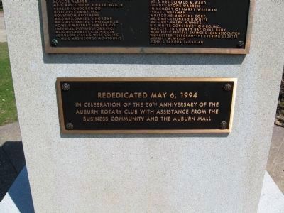
This park dedicated to his memory by the Rotary Club of Auburn 1970
Erected 1970.
Topics and series. This historical marker is listed in these topic lists: Air & Space • Science & Medicine. In addition, it is included in the Rotary International series list. A significant historical month for this entry is March 1842.
Location. 42° 12.318′ N, 71° 50.05′ W. Marker is in Auburn, Massachusetts, in Worcester County. Marker can be reached from Auburn Street, 0.1 miles south of Southbridge Street (Massachusetts Route 12). Located behind the Auburn Fire Department. Touch for map. Marker is at or near this postal address: 47 Auburn Street, Auburn MA 01501, United States of America. Touch for directions.
Other nearby markers. At least 8 other markers are within 4 miles of this marker, measured as the crow flies. The Goddard Rocket Launching Site (approx. 1˝ miles away); Indian Village Pakachoag (approx. 2.2 miles away); John J. (Jack) Barry '10 (approx. 2.7 miles away); Bartholomew F. (Bart) Sullivan (approx. 2.7 miles away); Worcester (approx. 2.7 miles away); Green Island (approx. 3.4 miles away); The Blackstone Canal: 1828-1848 (approx. 3.4 miles away); Jonas Rice Homesite (approx. 3.9 miles away).
Credits. This page was last revised on December 17, 2021. It was originally submitted on April 20, 2009, by Michael Herrick of Southbury, Connecticut. This page has been viewed 2,304 times since then and 72 times this year. Photos: 1. submitted on April 20, 2009, by Michael Herrick of Southbury, Connecticut. 2, 3. submitted on December 9, 2021, by Janet Schexnayder of Slidell, Louisiana. 4, 5, 6, 7, 8. submitted on April 20, 2009, by Michael Herrick of Southbury, Connecticut. • Kevin W. was the editor who published this page.
