Madison in Jefferson County, Indiana — The American Midwest (Great Lakes)
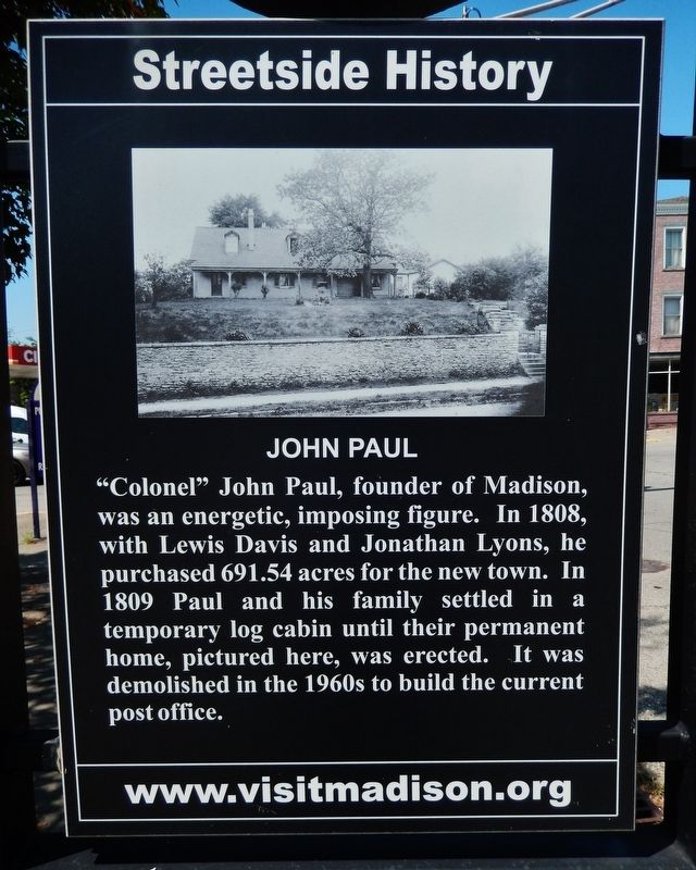
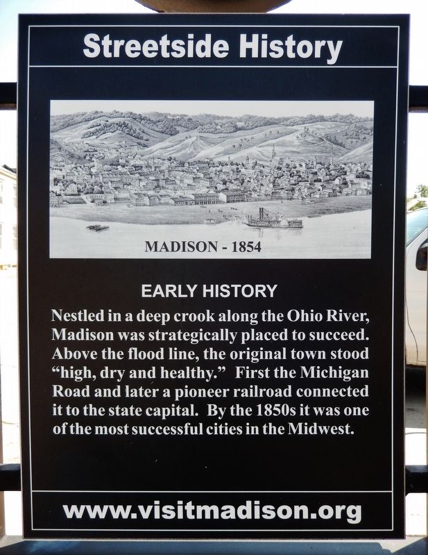
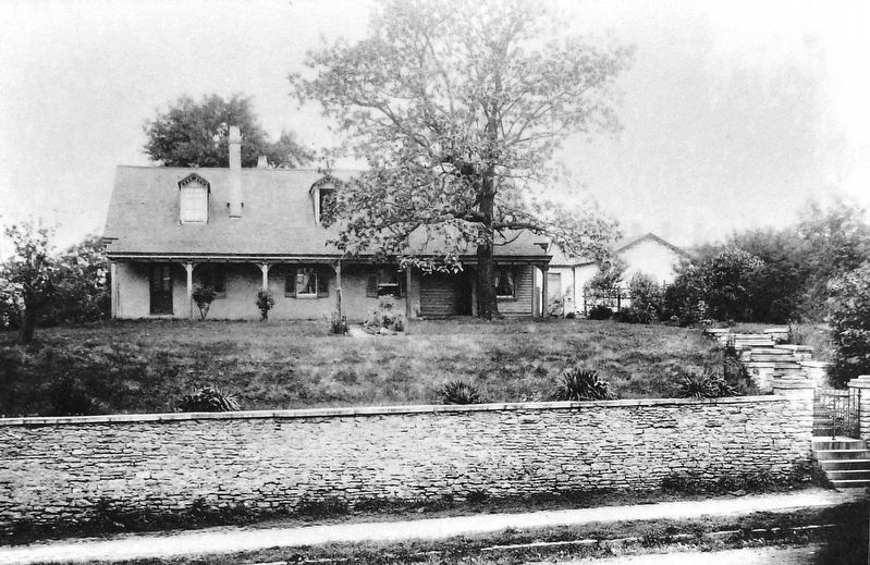
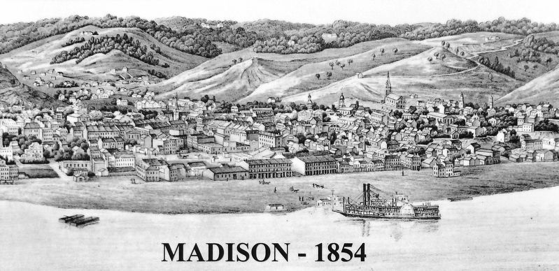
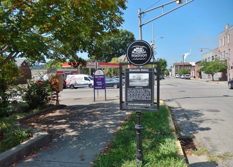
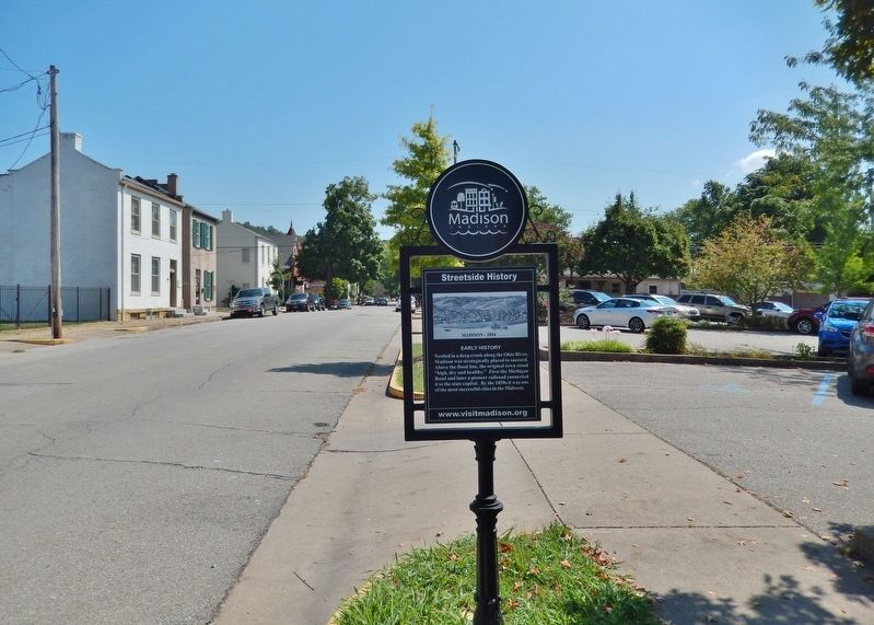
John Paul / Early History
Streetside History
[east side]
[west side]
Topics. This historical marker is listed in these topic lists: Industry & Commerce • Railroads & Streetcars • Roads & Vehicles • Settlements & Settlers. A significant historical year for this entry is 1808.
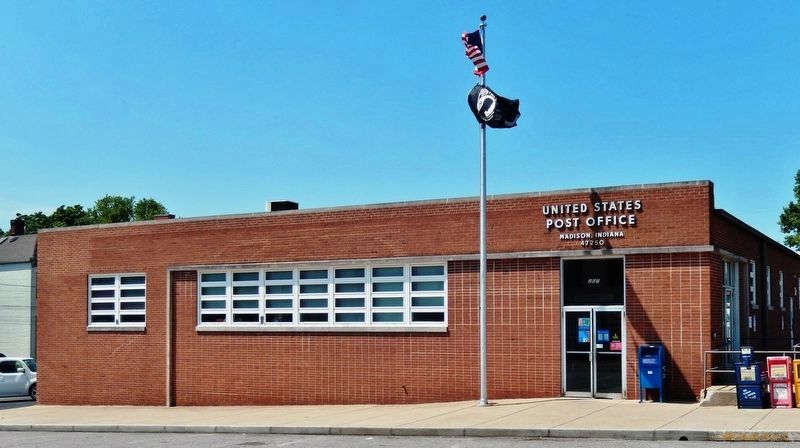
Location. 38° 44.103′ N, 85° 22.621′ W. Marker is in Madison, Indiana, in Jefferson County. Marker is on East 2nd Street just east of Jefferson Street, on the right when traveling east. Touch for map. Marker is in this post office area: Madison IN 47250, United States of America. Touch for directions.
Other nearby markers. At least 8 other markers are within walking distance of this marker . First Chartered Bank in Indiana (within shouting distance of this marker); Old Courthouse Treasure (about 300 feet away, measured in a direct line); Lt. General Walter Krueger (about 300 feet away); Replica of The Statue of Liberty (about 400 feet away); Jefferson County Honor Roll (about 400 feet away); Samuel Woodfill (about 400 feet away); Jefferson County (Indiana ) Civil War Memorial (about 500 feet away); This Shell Fired into Vicksburg (about 500 feet away). Touch for a list and map of all markers in Madison.
Related markers. Click here for a list of markers that are related to this marker. Streetside History • Madison, Indiana
Also see . . .
1. John Paul (Wikipedia). John Paul established the first ferry from Madison to Kentucky across the Ohio River in 1811. He also established a grist mill and saw mill before enlisting as a volunteer in the War of 1812. He commanded a regiment under General William Henry Harrison in Northwest Ohio during the siege of Fort Meigs and was thereafter referred to as "Colonel John Paul". In 1813, Paul established the second newspaper in Indiana, the "Western Eagle", and in 1814 he was named president of the first bank in the village. In 1816, Indiana became a state, and Paul was elected to the first Indiana Senate, where he was the presiding officer. (Submitted on September 5, 2021, by Cosmos Mariner of Cape Canaveral, Florida.)
2. Madison, Indiana (Wikipedia). Madison was laid out and platted in 1810, and the first lots were sold in 1811 by John Paul. It had busy early years due to heavy river traffic and its position as an entry point into the Indiana Territory along the historic Old Michigan Road. Indiana's first railroad, the Madison & Indianapolis Railroad, was built there from 1836 to 1847. (Submitted on September 5, 2021, by Cosmos Mariner of Cape Canaveral, Florida.)
3. Early History of Madison, Indiana. (Submitted on September 8, 2021, by Cosmos Mariner of Cape Canaveral, Florida.)
Credits. This page was last revised on September 9, 2021. It was originally submitted on September 4, 2021, by Cosmos Mariner of Cape Canaveral, Florida. This page has been viewed 194 times since then and 46 times this year. Photos: 1, 2, 3, 4, 5, 6, 7. submitted on September 5, 2021, by Cosmos Mariner of Cape Canaveral, Florida.
