Near Wiley in Prowers County, Colorado — The American Mountains (Southwest)
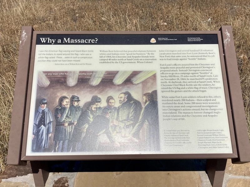
Why a Massacre?
-Robert Bent, son of William Bent and Owl Woman
William Bent believed that peaceful relations between whites and Indians were "good for business.” By the fall of 1864, his Cheyenne and Arapaho friends were camped 40 miles north at Sand Creek on a reservation established by the US government. When Colonel John Chivington and several hundred US volunteer cavalrymen marched into Fort Lyon (formerly Bent's New Fort) that same year, he announced that his job was to lead troops against "hostile” Indians.
Fort Lyon's officers assured him the Cheyenne and Arapaho were peaceful and protested Chivington's proposed attack. Instead Chivington convinced officers to go on a campaign against "hostiles” at Smoky Hill River, 25 miles north of Sand Creek. Late on November 28, 1864, he marched 675 cavalrymen north. At daybreak, they arrived at Sand Creek. When Cheyenne Chief Black Kettle saw the soldiers, he raised the US flag and a white flag of truce. Chivington ignored the gesture and the attack began.
While some Fort Lyon soldiers refused to fire, others murdered nearly 200 Indians—then scalped and mutilated the dead. Some 200 more were wounded. An outcry arose and congressional investigations into Chivington's actions ensued, but no charges ever materialized. The massacre forever changed Anglo- Indian relations and the Cheyenne and Arapaho people's way of life.
Damn any man who has any sympathy with the Indians!
- Colonel John Chivington
Captions:
In a room before you, they met to discuss the fate of Cheyenne and Arapaho Indians at Sand Creek. The meeting was held in the Post Quartermaster, First Lieutenant Chances M. Cossitt's office at the Fort Lyon Commissary.
Left to right: Private Evander Light, First Lieutenant Joseph Cramer, Second Lieutenant William Minton, Captain Samuel Cook, First Lieutenant Chauncey Cossitt, First Lieutenant Joseph Maynard, Major Jacob Downing (back view), Colonel John Chivington, and Major Samuel Colley
Erected by Semmens Family, Santa Fe Trail Association, National Park Service.
Topics. This historical marker is listed in these topic lists: Forts and Castles • Wars, US Indian. A significant historical year for this entry is 1864.
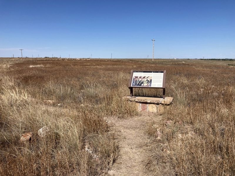
Location. 38° 5.632′ N, 102° 45.625′ W. Marker is near Wiley, Colorado, in Prowers County. Marker can be reached from County Highway 35.25 south of County Highway JJ. Touch for map. Marker is in this post office area: Wiley CO 81092, United States of America. Touch for directions.
Other nearby markers. At least 8 other markers are within 8 miles of this marker, measured as the crow flies. Bent’s New Fort (within shouting distance of this marker); A Vital Link (within shouting distance of this marker); His Final Fort (within shouting distance of this marker); Bent’s Trading Post at Big Timbers (about 600 feet away, measured in a direct line); Tragedy and Restoration (about 700 feet away); Madonna of the Trail (approx. 7.7 miles away); Welcome to Colorado - Lamar Country (approx. 7.7 miles away); Experience the Past on the Santa Fe Trail (approx. 7.7 miles away). Touch for a list and map of all markers in Wiley.
Credits. This page was last revised on September 5, 2021. It was originally submitted on September 4, 2021, by Connor Olson of Kewaskum, Wisconsin. This page has been viewed 174 times since then and 22 times this year. Photos: 1, 2. submitted on September 4, 2021, by Connor Olson of Kewaskum, Wisconsin. • Andrew Ruppenstein was the editor who published this page.

