Near Ozark in Dale County, Alabama — The American South (East South Central)
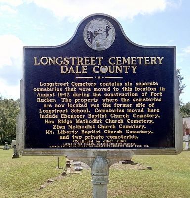
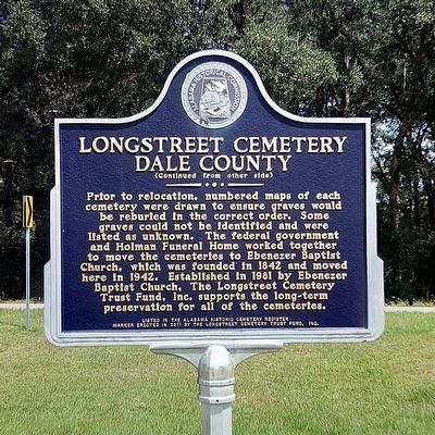
Longstreet Cemetery
Dale County
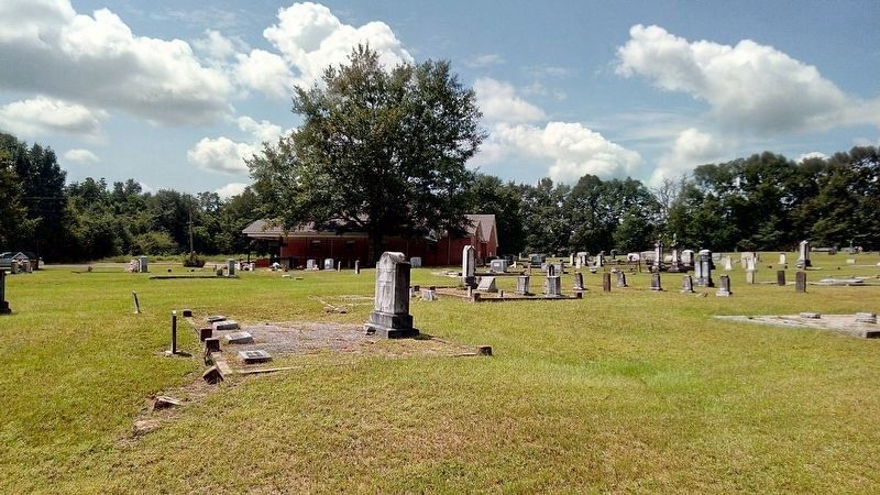
Prior to relocation, numbered maps of each cemetery were drawn to ensure graves would be reburied in the correct order. Some graves could not be identified and were listed as unknown. The federal government and Holman Funeral Home worked together to move the cemeteries to Ebenezer Baptist Church, which was founded in 1842 and moved here in 1942. Established in 1981 by Ebenezer Baptist Church, The Longstreet Cemetery Trust Fund, Inc. supports the long-term preservation for all of the cemeteries.
Erected 2011 by Alabama Historic Cemetery Register & The Longstreet Cemetery Trust Fund, Inc.
Topics. This historical marker is listed in these topic lists: Cemeteries & Burial Sites • Churches & Religion. A significant historical month for this entry is August 1942.
Location. 31° 29.181′ N, 85° 46.765′ W. Marker is near Ozark, Alabama, in Dale County. Marker is on Marley Mill Road (County Route 36) east of County Road 233, on the right when traveling east. Touch for map. Marker is in this post office area: Ozark AL 36360, United States of America. Touch for directions.
Other nearby markers. At least 8 other markers are within 8 miles of this marker, measured as the crow flies. Tabernacle Methodist Church (approx. 3.4 miles away); Claybank Church (approx. 7.4 miles away); Clarence Dowling Barnard (approx. 7˝ miles away); The Original Burial Plot (approx. 7˝ miles away); Claybank (approx. 7˝ miles away); a different marker also named Claybank Church (approx. 7.6 miles away); Veterans Memorial Bridge - 1921 / Grist Mill - Indian Battle - Recreation (approx. 7.6 miles away); D. A. Smith High School/ Professor D. A. Smith, Principal (approx. 7.9 miles away). Touch for a list and map of all markers in Ozark.
Credits. This page was last revised on September 6, 2021. It was originally submitted on September 5, 2021, by James L.Whitman of Eufaula, Alabama. This page has been viewed 365 times since then and 67 times this year. Photos: 1, 2, 3. submitted on September 5, 2021, by James L.Whitman of Eufaula, Alabama. • Mark Hilton was the editor who published this page.


