Near Gagetown in Tuscola County, Michigan — The American Midwest (Great Lakes)
Octagon Barn
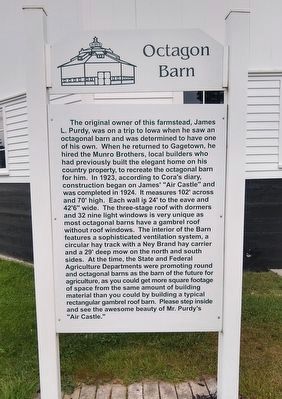
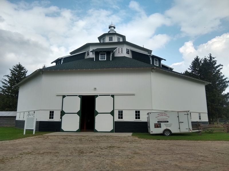
The original owner of this farmstead, James L. Purdy, was on a trip to Iowa when he saw an octagonal barn and was determined to have one of his own. When he returned to Gagetown, he hired the Munro Bothers, local builders who had previously built the elegant home on his country property, to recreate the octagonal barn for him. In 1923, according to Cora's diary, construction began on James' "Air Castle" and was completed in 1924. It measures 102' across and 70' high. Each wall is 24' to the eave and 42'6" wide. The three-stage roof with dormers and 32 nine light windows is very unique as most octagonal barns have a gambrel roof without roof windows. The interior of the Barn features a sophisticated ventilation system, a circular hay track with a Ney Brand hay carrier and a 29' deep mow on the north and south sides. At the time, the State and Federal Agriculture Departments were promoting round and octagonal barns as the barn of the future for agriculture, as you could get more square footage of space from the same amount of building material than you could by building a typical rectangular gambrel roof barn. Please step inside and see the awesome beauty of Mr. Purdy's "Air Castle."
Erected by Thumb Octagon Barn Agricultural Museum.
Topics. This historical marker is listed in these topic lists: Agriculture • Notable Buildings. A significant historical year for this entry is 1923.
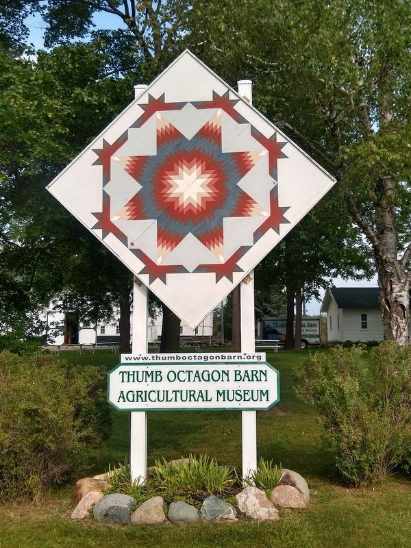
Location. 43° 40.274′ N, 83° 12.992′ W. Marker is near Gagetown, Michigan, in Tuscola County. Marker can be reached from Richie Road , 0.9 miles north of Bay City Forestville Road, on the right when traveling north. Marker is at the Thumb Octagon Barn Agricultural Museum. Touch for map. Marker is at or near this postal address: 6948 Richie Road, Gagetown MI 48735, United States of America. Touch for directions.
Other nearby markers. At least 8 other markers are within walking distance of this marker. Powerhouse (within shouting distance of this marker); Garage (within shouting distance of this marker); House (within shouting distance of this marker); One Room Schoolhouse (about 400 feet away, measured in a direct line); Sugar Shack (about 400 feet away); Blacksmith Shop (about 400 feet away); Cider Mill (about 400 feet away); Grain Elevator (about 500 feet away). Touch for a list and map of all markers in Gagetown.
Credits. This page was last revised on September 6, 2021. It was originally submitted on September 6, 2021, by Joel Seewald of Madison Heights, Michigan. This page has been viewed 168 times since then and 21 times this year. Photos: 1, 2, 3. submitted on September 6, 2021, by Joel Seewald of Madison Heights, Michigan.


