Near Kim in Las Animas County, Colorado — The American Mountains (Southwest)
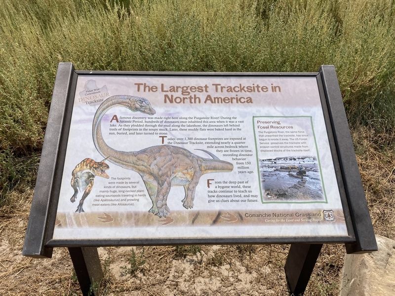
The Largest Tracksite in North America
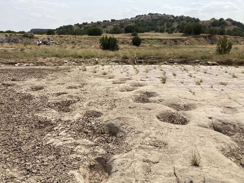
Today, over 1,300 dinosaur footprints are exposed at the Dinosaur Tracksite, extending nearly a quarter mile across bedrock where they are frozen in time, recording dinosaur behavior from 150 million years ago.
From the deep past of a bygone world, these tracks continue to teach us how dinosaurs lived, and may give us clues about our future.
Preserving Fossil Resources
The Purgatoire River, the same force that unearthed the tracksite, has since begun to erode it away. The US Forest Service preserves the tracksite with erosion control structures made from displaced blocks of the tracksite itself.
Caption: The footprints were made by several kinds of dinosaurs, but mainly huge, long-necked plant-eating sauropods traveling in herds (like Apatosaurus) and prowling meat-eaters (like Allosaurus).
Erected by US Forest Service.
Topics. This historical marker is listed in this topic list: Paleontology.
Location. 37° 37.191′ N, 103° 35.958′ W. Marker is near Kim, Colorado, in Las Animas County. Marker is on the Picketwire Canyon Trail, the trail can be accessed from County Hwy 25 (Rourke Rd). Touch for map. Marker is in this post office area: Kim CO 81049, United States of America. Touch for directions.
Other nearby markers. At least 6 other markers are within 3 miles of this marker, measured as the crow flies. The Site from the Sky (approx. 0.2 miles away); Life at Dinosaur Lake (approx. 0.2 miles away); Dinosaur Shoulder Blade From An Apatosaurus (approx. half a mile away); Dolores Mission and Cemetery (approx. 1.4 miles away); Rourke Ranch Historic District 1900-1971 (approx. 2.8 miles away); History of the Rourke Family and Wineglass Ranch, 1871-1900 (approx. 2.8 miles away).
Credits. This page was last revised on September 8, 2021. It was originally submitted on September 7, 2021, by Connor Olson of Kewaskum, Wisconsin. This page has been viewed 302 times since then and 42 times this year. Photos: 1, 2. submitted on September 7, 2021, by Connor Olson of Kewaskum, Wisconsin. • Andrew Ruppenstein was the editor who published this page.

