
Near Brookings in Moody County, South Dakota — The American Midwest (Upper Plains)
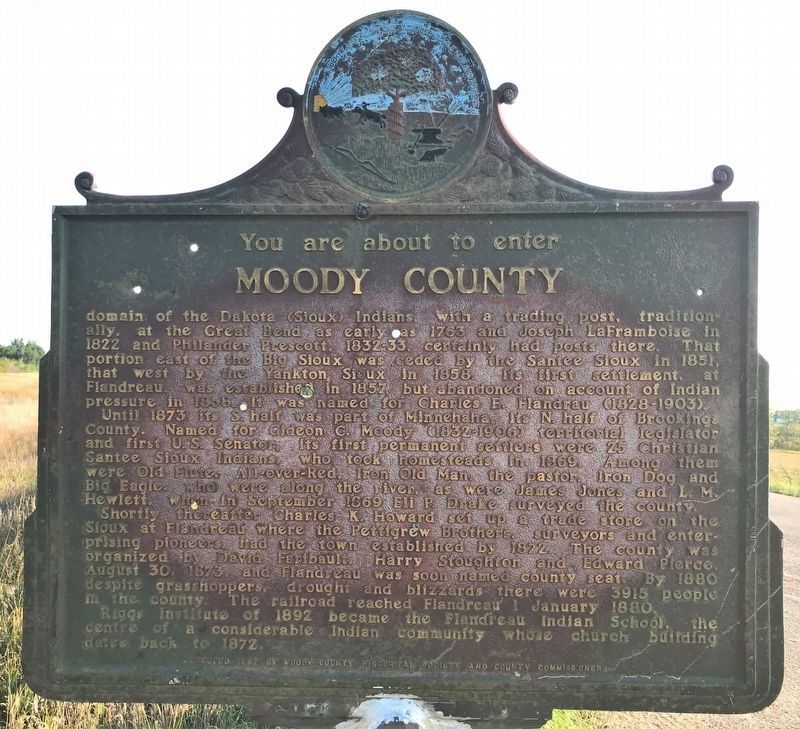
Moody County
You are about to enter
August 15, 2021
1. Moody County Marker
Until 1873 its S half as part of Minnehaha, its N half of Brookings County. Named for Gideon C. Moody (1832-1906) territorial legislator and first U.S. Senator, its first permanent settlers were 25 Christian Santee Sioux Indians, who took homesteads in 1869. Among them were Old Flute, All-Over-Red, Iron Old Man, the pastor, Iron Dog, and Big Eagle, who were along the river, as were James Jones and L.M. Hewlett, when in September 1869 Eli P. Drake surveyed the county.
Shortly thereafter Charles K. Howard set up a trade store on the Sioux at Flandreau where the Pettigrew Brothers, surveyors and enterprising pioneers, had the town established
this page online
Erected 1957 by Moody County Historical Society and County Commissioner. (Marker Number 608.)
Topics and series. This historical marker is listed in these topic lists: Indigenous Peoples and Communities • Settlements & Settlers. In addition, it is included in the South Dakota State Historical Society Markers series list. A significant historical date for this entry is January 1, 1880.
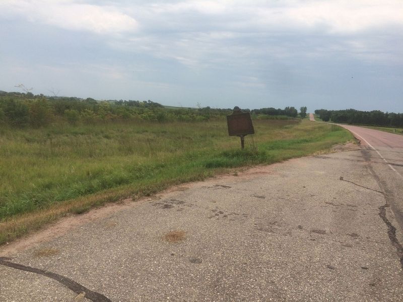
Location. 44° 11.727′ N, 96° 47.367′ W. Marker is near Brookings, South Dakota, in Moody County. It is at the intersection of 471st Avenue and 220th Street, on the right when traveling north on 471st Avenue. Touch for map. Marker is in this post office area: Brookings SD 57006, United States of America. Touch for directions.

Regionally,
Photographed by Ruth VanSteenwyk, August 5, 2018
2. Moody County Marker
Other nearby markers. At least 8 other markers are within 5 miles of this marker, measured as the crow flies: Brookings County (here, next to this marker); Medary (approx. one mile away); Medary Monument (approx. one mile away); First Convention in Brookings County (approx. one mile away); Medary Townsite (approx. one mile away); Hagensick's Resort (approx. 3.6 miles away); Lake Campbell Lutheran Church (approx. 4.9 miles away); Midway Country School Bell (approx. 5 miles away). Touch for a list and map of all markers in Brookings.
More about this marker. This is the other side of marker #121185 (Brookings County). Marker #196 is identical to this one, but is located someplace else. This marker is actually #608, according to the Official SD State Historical Society Markers list.
Credits. This page was last revised on September 9, 2021. It was originally submitted on August 6, 2018, by Ruth VanSteenwyk of Aberdeen, South Dakota. This page has been viewed 510 times since then and 46 times this year. Last updated on September 7, 2021. Photos: 1. submitted on August 21, 2021. 2. submitted on August 6, 2018, by Ruth VanSteenwyk of Aberdeen, South Dakota. • Mark Hilton was the editor who published this page.
