Lambertville in Hunterdon County, New Jersey — The American Northeast (Mid-Atlantic)
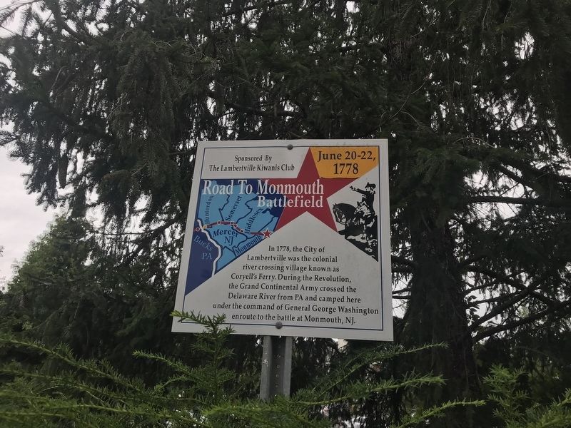
Road to Monmouth Battlefield
June 20-22, 1778
Erected by Lambertville Kiwanis Club.
Topics. This memorial is listed in this topic list: War, US Revolutionary.
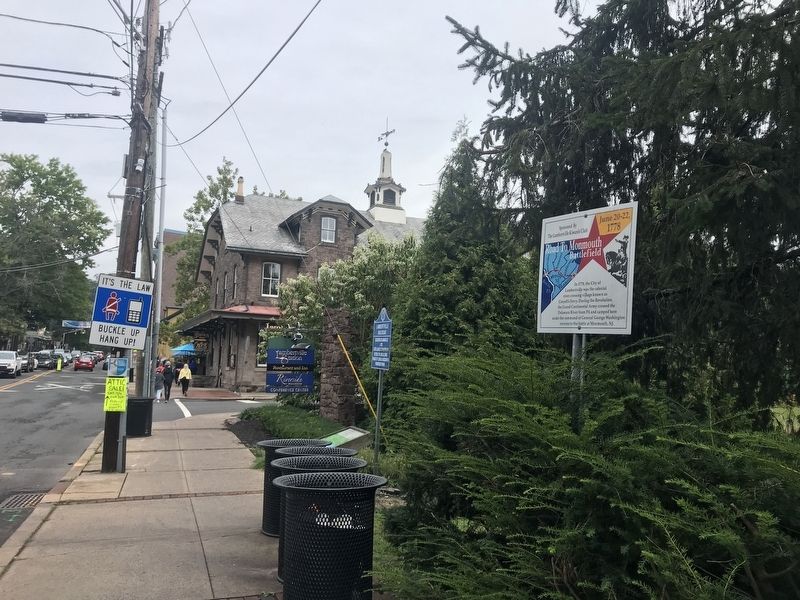
Location. 40° 21.916′ N, 74° 56.8′ W. Marker is in Lambertville, New Jersey, in Hunterdon County. Memorial is on Bridge Street (New Jersey Route 179), on the right when traveling north. Touch for map. Marker is in this post office area: Lambertville NJ 08530, United States of America. Touch for directions.
Other nearby markers. At least 8 other markers are within walking distance of this marker. Lambertville Railroad (within shouting distance of this marker); D & R (within shouting distance of this marker); Lewis Island Shad Fishery (about 600 feet away, measured in a direct line); George Coryell’s Grave (about 700 feet away); Marshall House (approx. 0.2 miles away); Lambertville City Hall (approx. ¼ mile away); Lambertville Railroad Shops (approx. ¼ mile away); Mary E. Sheridan Park (approx. ¼ mile away). Touch for a list and map of all markers in Lambertville.
Credits. This page was last revised on September 15, 2021. It was originally submitted on September 7, 2021, by Adam Margolis of Mission Viejo, California. This page has been viewed 173 times since then and 18 times this year. Photos: 1, 2. submitted on September 7, 2021, by Adam Margolis of Mission Viejo, California. • Bill Pfingsten was the editor who published this page.

