
Ellerbee in Richmond County, North Carolina — The American South (South Atlantic)
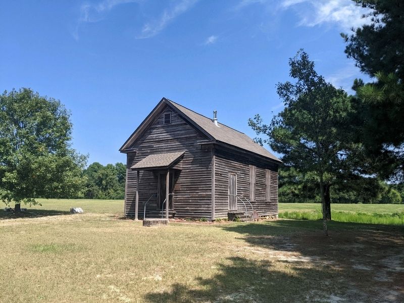
Bostick School
Photographed by Mike Wintermantel
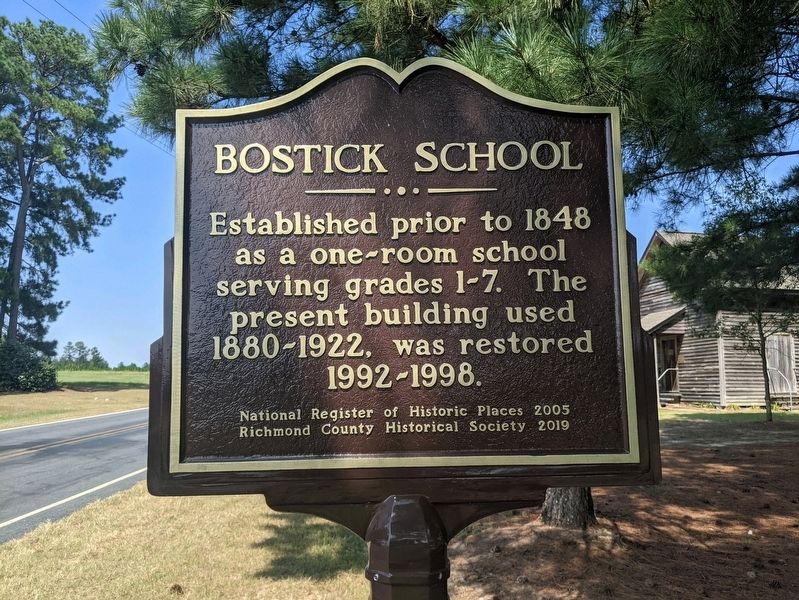
1. Bostick School Marker
Established prior to 1848 as a one-room school serving grades 1-7. The present building used 1880-1922, was restored 1992-1998.
Erected 2019 by Richmond County Historical Society.
Topics. This historical marker is listed in this topic list: Education. A significant historical year for this entry is 1848.
Location. 35° 7.572′ N, 79° 46.364′ W. Marker is in Ellerbee, North Carolina, in Richmond County. It is at the intersection of Clayton Carriker Road and Godfrey Road, on the right when traveling north on Clayton Carriker Road. Touch for map. Marker is at or near this postal address: 594 Clayton Carriker Rd, Ellerbe NC 28338, United States of America. Touch for directions.

Regionally, this marker is in North Carolina’s Piedmont. It is also in the American South and specifically in the Upper South. Globally, it is in North America, the Western Hemisphere, the Western World, and the Anglosphere. Historically, it finds itself in what was once the territory of the Mississippian Culture, one of the original Thirteen Colonies, one of the Confederate States of America,
this page online
Other nearby markers. At least 8 other markers are within 12 miles of this marker, measured as the crow flies: A different marker also named The Bostick School (within shouting distance of this marker); Andre the Giant (approx. 2.6 miles away); Flora MacDonald (approx. 7.2 miles away); Preservation and the Archaeological Record (approx. 9.7 miles away); Burial Huts at Town Creek (approx. 9.7 miles away); Town Creek Indian Mound (approx. 9.8 miles away); The Town Creek Indian Mound Prairie Reconstruction (approx. 9.8 miles away); Cartledge Creek Baptist Church (approx. 12.1 miles away).
Photographed by Mike Wintermantel
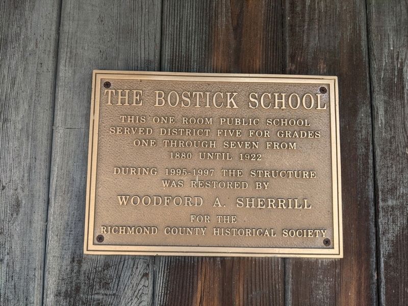
2. The Bostick School
Marker mounted to school
This one room public school served District Five for grades one through seven from 1880 until 1922.
During 1995-1997 the structure was restored by
Woodford A. Sherrill
for the Richmond County Historical Society
This one room public school served District Five for grades one through seven from 1880 until 1922.
During 1995-1997 the structure was restored by
Woodford A. Sherrill
for the Richmond County Historical Society
Photographed by Mike Wintermantel
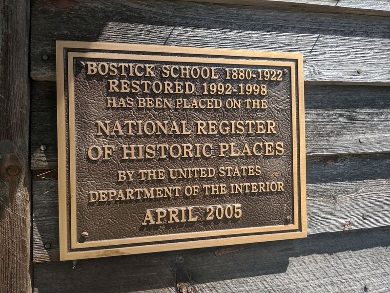
3. Bostick School Marker
Bostic School 1880-1992
Restored 1992-1998
Has been placed on the National Register of Historic Places
By the United States Department of the Interior
April 2005
Restored 1992-1998
Has been placed on the National Register of Historic Places
By the United States Department of the Interior
April 2005
Photographed by Mike Wintermantel
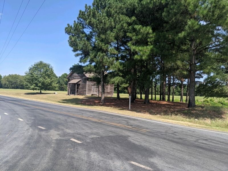
4. Bostick School Marker
Photographed by Mike Wintermantel
5. Bostick School Marker
Credits. This page was last revised on April 13, 2023. It was originally submitted on September 7, 2021, by Mike Wintermantel of Pittsburgh, Pennsylvania. This page has been viewed 285 times since then and 33 times this year. Photos: 1, 2, 3, 4, 5. submitted on September 7, 2021, by Mike Wintermantel of Pittsburgh, Pennsylvania.
