The Loop District in Chicago in Cook County, Illinois — The American Midwest (Great Lakes)
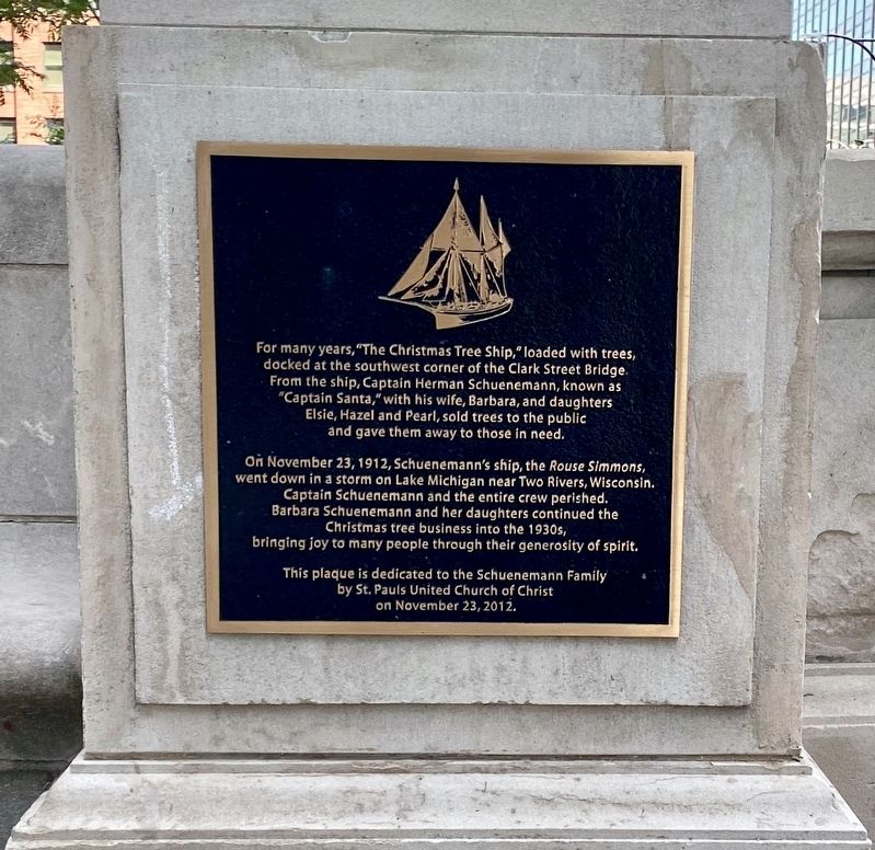
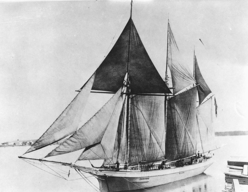
The Christmas Tree Ship
On November 23, 1912, Schuenemann's ship, the Rouse Simmons, went down in a storm on Lake Michigan near Two Rivers, Wisconsin. Captain Schuenemann and the entire crew perished. Barbara Schuenemann and her daughters continued the Christmas tree business into the 1930s, bringing joy to many people through their generosity of spirit.
Erected 2012 by St. Pauls United Church of Christ.
Topics. This historical marker is listed in these topic lists: Charity & Public Work • Waterways & Vessels. A significant historical date for this entry is November 23, 1912.
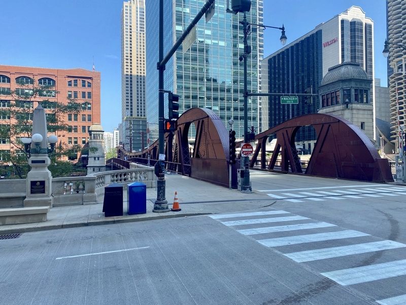
Location. 41° 53.224′ N, 87° 37.872′ W. Marker is in Chicago, Illinois, in Cook County. It is in The Loop District. Marker is at the intersection of West Wacker Drive and North Clark Street, on the right when traveling west on West Wacker Drive. Touch for map. Marker is in this post office area: Chicago IL 60601, United States of America. Touch for directions.
Other nearby markers. At least 8 other markers are within walking distance of this marker. “Hubbard’s Folly” (about 300 feet away, measured in a direct line); The Eastland Disaster (about 300 feet away); Reid, Murdoch & Company Building (about 500 feet away); Chicago's First Movable Bridge (about 600 feet away); 25,000th Convenience Store (about 700 feet away); Harris and Selwyn Theaters (about 700 feet away); Trustees System Service Building (about 800 feet away); South Water Street (approx. 0.2 miles away). Touch for a list and map of all markers in Chicago.
More about this marker. The marker is mounted to a cement pylon at the southwest foot of the Clark Street Bridge.
Related markers. Click here for a list of markers that are related to this marker.
Also see . . . The Original Christmas Tree Ship (Chicago's Christmas Ship). (Submitted on September 7, 2021.)
Credits. This page was last revised on January 30, 2023. It was originally submitted on September 7, 2021, by Andrew Ruppenstein of Lamorinda, California. This page has been viewed 259 times since then and 24 times this year. Photos: 1, 2, 3. submitted on September 7, 2021, by Andrew Ruppenstein of Lamorinda, California.


