Port Lavaca in Calhoun County, Texas — The American South (West South Central)
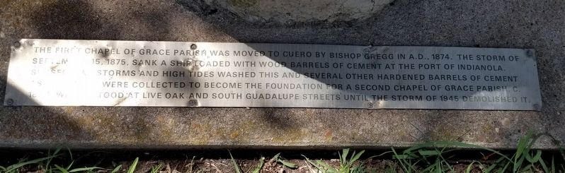
Wood Barrels of Cement
Photographed by James Hulse, August 30, 2021
1. Wood Barrels of Cement Marker
Topics. This historical marker is listed in these topic lists: Disasters • Religion & Religious Structures. A significant historical date for this entry is September 15, 1875.
Location. 28° 36.826′ N, 96° 37.377′ W. Marker is in Port Lavaca, Texas, in Calhoun County. It is at the intersection of Guadalupe Street and East Austin Street (State Highway 238), on the right when traveling south on Guadalupe Street. The marker is located on the north side of the church grounds by the parking lot. Touch for map. Marker is at or near this postal address: 213 East Austin Street, Port Lavaca TX 77979, United States of America. Touch for directions.

Regionally, this marker is in the American
this page online
Other nearby markers. At least 8 other markers are within walking distance of this marker: Grace Episcopal Church (here, next to this marker); Beach Hotel (approx. 0.2 miles away); Howard G. Hartzog, Sr. (approx. 0.2 miles away); Calhoun County Hurricanes (approx. 0.2 miles away); Calhoun County Participation During World War II (approx. 0.2 miles away); San Antonio & Mexican Gulf Railroad (approx. ¼ mile away); Sunlight Girls Club (approx. 0.3 miles away); Alice O. Wilkins School (approx. 0.3 miles away). Touch for a list and map of all markers in Port Lavaca.
Photographed by James Hulse, August 30, 2021
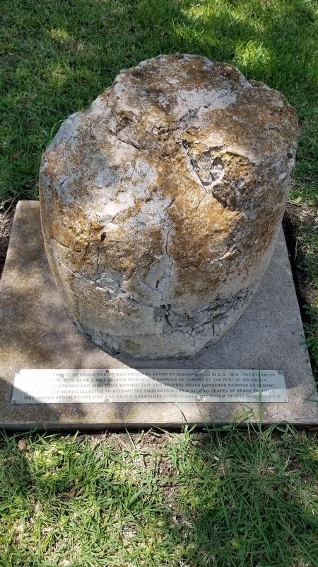
2. Wood Barrels of Cement Marker
Photographed by James Hulse, August 30, 2021
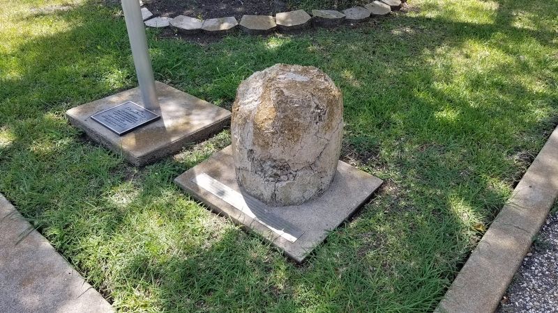
3. One of the Wood Barrels of Cement and Marker
Photographed by James Hulse, August 30, 2021
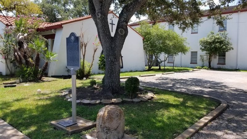
4. The Wood Barrels of Cement and the state marker at the back of the Grace Episcopal Church
Credits. This page was last revised on September 8, 2021. It was originally submitted on September 7, 2021, by James Hulse of Medina, Texas. This page has been viewed 388 times since then and 22 times this year. Photos: 1, 2, 3, 4. submitted on September 8, 2021, by James Hulse of Medina, Texas.
