Marker Logo
THE HISTORICAL
MARKER DATABASE
“Bite-Size Bits of Local, National, and Global History”
Valley Springs in Minnehaha County, South Dakota — The American Midwest (Upper Plains)
 

Valley Springs
 
 
Valley Springs Marker image. Click for full size.
September 5, 2021
1. Valley Springs Marker
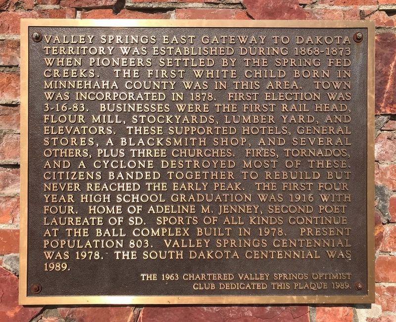
Inscription. Valley Springs east gateway to Dakota Territory was established during 1868-1873 when pioneers settled by the spring fed creeks. The first white child born in Minnehaha County was in this area. Town was incorporated in 1878. First election was 3-16-83. Businesses were the first rail head, flour mill, stockyards, lumber yard, and elevators. These supported hotels, general stores, a blacksmith shop, and several others, plus three churches. Fires, tornados, and a cyclone destroyed most of these. Citizens banded together to rebuild but never reached the early peak. The first four year high school graduation was 1916 with four. Home of Adeline M. Jenney, Second Poet Laureate of SD. Sports of all kinds continue at the ball complex built in 1978. Present population 803. Valley Springs centennial was 1978. The South Dakota centennial was 1989.
 
Erected 1989 by the 1963 chartered Valley Springs Optimist Club.
 
Topics. This historical marker is listed in these topic lists: DisastersEducationIndustry & CommerceSettlements & Settlers. A significant historical year for this entry is 1868.
 
Location. 43° 34.964′ N, 96° 27.985′ W.
Paid Advertisement
Click or scan to see
this page online
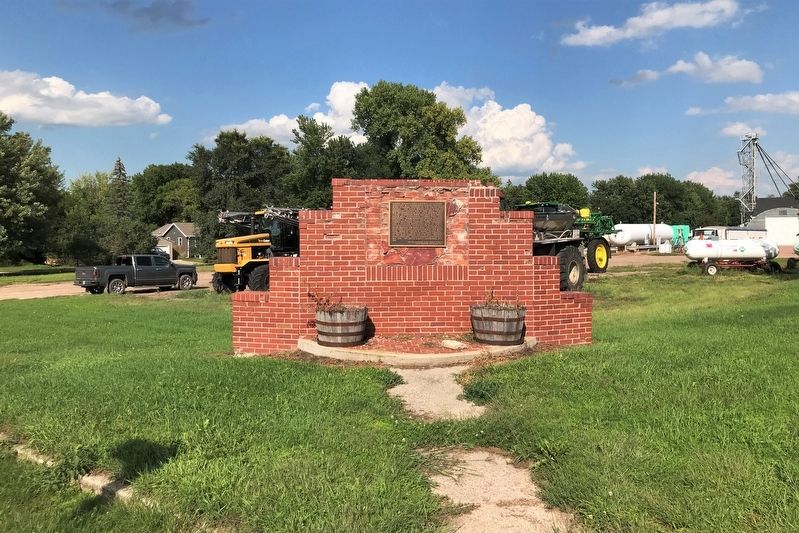
Marker is in Valley Springs, South Dakota, in Minnehaha County. It is at the intersection of Broadway Avenue and Elm Street, on the left when traveling east on Broadway Avenue. Touch for map. Marker is in this post office area: Valley Springs SD 57068, United States of America. Touch for directions.

Regionally, this marker is in East River and in Greater Sioux Falls. It is also in the American Midwest, in the Lewis & Clark Corridor, in the Corn Belt, on the prairies, and on the Northern Plains. Globally, it is in North America, the Western Hemisphere, the Western World, and the Anglosphere. Historically, it finds itself in what was once Rupert’s Land and also the Louisiana Purchase.

Other nearby markers. At least 8 other markers are within 5 miles of this marker, measured as the crow flies: The Town of Valley Springs (approx. half a mile away); Purple Heart Memorial Highway (approx. 1.9 miles away); Minnehaha County (approx. 1.9 miles away); Valley Springs Rest Area (approx. 1.9 miles away); Beaver Creek Nature Area (approx. 4.2 miles away); The Samuelson Family Dakota Pioneers / A Pioneer Cabin (approx. 4.4 miles
Valley Springs Marker image. Click for full size.
September 5, 2021
2. Valley Springs Marker
away); The Samuelsons and their Cabin (approx. 4.4 miles away); Nels Nelson Graff Cabin (approx. 5.1 miles away). Touch for a list and map of all markers in Valley Springs.
 
 
Credits. This page was last revised on September 9, 2021. It was originally submitted on September 8, 2021. This page has been viewed 335 times since then and 27 times this year. Photos:   1, 2. submitted on September 8, 2021. • Mark Hilton was the editor who published this page.

m=181357

CeraNet Cloud Computing sponsors the Historical Marker Database.
This website earns income from purchases you make after using our links to Amazon.com. We appreciate your support.
Paid Advertisement
Jul. 16, 2026
