Near Pennington Gap in Lee County, Virginia — The American South (Mid-Atlantic)
Lee County Virginia / Kentucky
Area 446 Square Miles
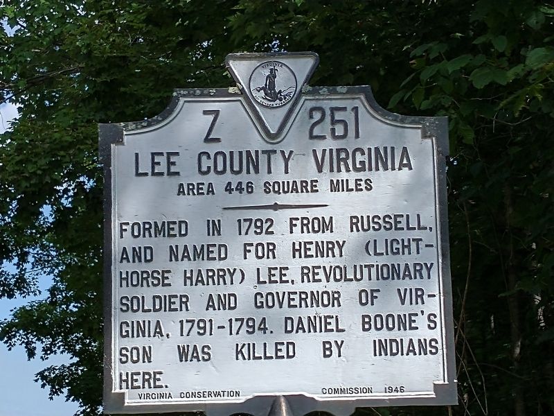
Lee County Virginia
Area 446 Square Miles
Formed in 1792 from Russell, and named for Henry (Light-Horse Harry) Lee, Revolutionary soldier and Governor of Virginia, 1791-1794. Daniel Boone's son was killed by Indians here.
(reverse)
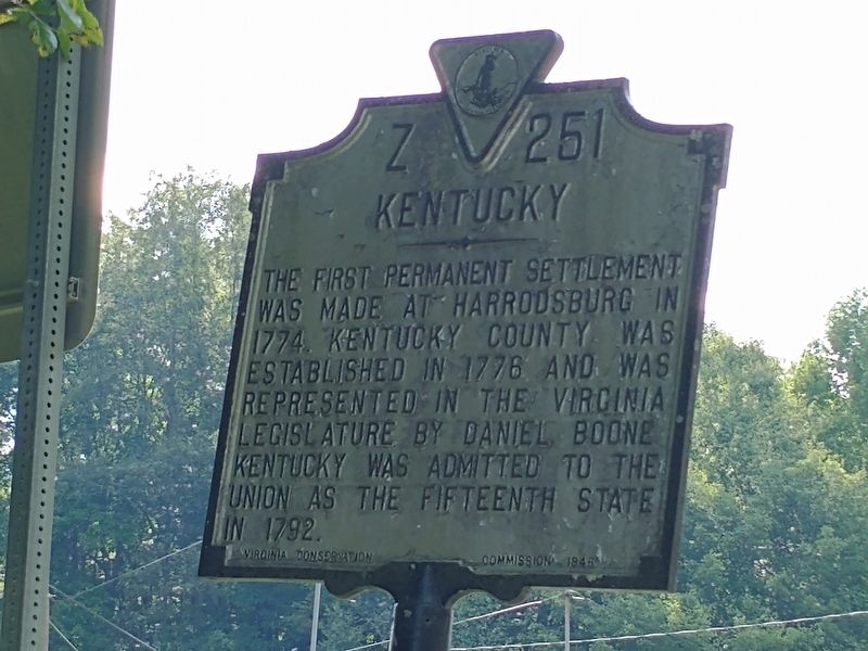
Kentucky
The first permanent settlement was made at Harrodsburg in 1774. Kentucky County was established in 1778 and was represented in the Virginia Legislature by Daniel Boone. Kentucky was admitted to the Union as the fifteenth state in 1792.
Erected 1946 by Virginia Conservation Commission. (Marker Number Z-251.)
Topics. This historical marker is listed in this topic list: Political Subdivisions. A significant historical year for this entry is 1792.
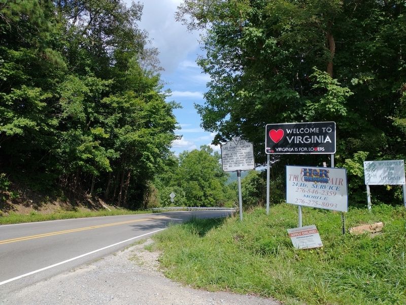
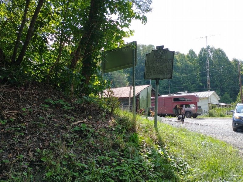
Location. 36° 45.696′ N, 83° 7.535′ W. Marker is near Pennington Gap, Virginia, in Lee County. Marker is on U.S. 421, 0.3 miles west of Blueberry Hill Road, on the right when traveling east. Touch for map. Marker is in this post office area: Pennington Gap VA 24277, United States of America. Touch for directions.
Other nearby markers. At least 8 other markers are within 12 miles of this marker, measured as the crow flies. Civil War Routes (approx. 3˝ miles away in Kentucky); Jonesville (approx. 5.2 miles away); Doctor Still’s Birthplace (approx. 5.4 miles away); Pennington Gap (approx. 5˝ miles away); Jonesville Methodist Camp Ground (approx. 5.6 miles away); a different marker also named Doctor Still’s Birthplace (approx. 6.4 miles away); Thompson Settlement Church (approx. 10.2 miles away); Long Hunters (approx. 11.3 miles away).
Credits. This page was last revised on September 9, 2021. It was originally submitted on September 9, 2021, by Tom Bosse of Jefferson City, Tennessee. This page has been viewed 176 times since then and 23 times this year. Photos: 1, 2, 3, 4. submitted on September 9, 2021, by Tom Bosse of Jefferson City, Tennessee. • Bernard Fisher was the editor who published this page.


