
Near Frankenmuth in Saginaw County, Michigan — The American Midwest (Great Lakes)
Gugel Bridge

1. Gugel Bridge Marker
Side 1
Built in 1904, this 204-foot-long bridge carried the Detroit and Saginaw Turnpike over the Cass River in Bridgeport Township. By around 1919 the pike, which had become the well-traveled Dixie Highway, required a more substantial crossing, and the bridge was replaced and relocated to this site. The bridge closed in 1979. William “Tiny” Zehnder had the structure restored as a pedestrian bridge in 2004. The Gugel Bridge is listed in the National Historic Register of Historic Places.
Side 2
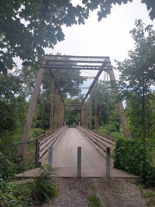
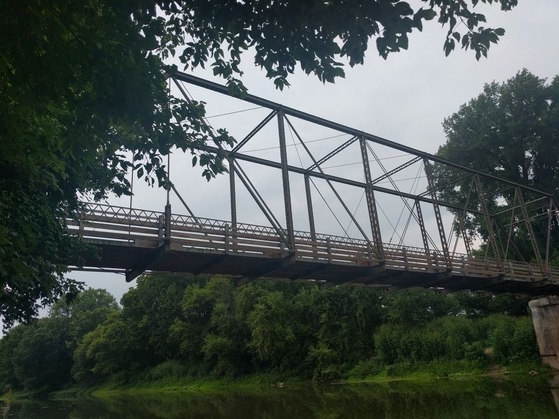
The Joliet Bridge and Iron Company built at least 25 bridges in Michigan, several of them in Saginaw County. In 1904 the company erected this unusual bridge, which has both a 60-foot pony Pratt truss and a 144-foot Pratt through truss. The bridge originally spanned the Cass River in Bridgeport Township. When it was replaced around 1919, Frankenmuth supervisor and Saginaw County commissioner Christian Gugel moved the bridge to this site at Beyer Road, which lacked a crossing.
Erected 2009 by Michigan Historical Commission—Michigan Historical Center. (Marker Number L2168.)
Topics and series. This historical marker is listed in this topic list: Bridges & Viaducts. In addition, it is included in the Michigan Historical Commission series list. A significant historical year for this entry is 1904.
Location. Marker has been reported missing. It was located near 43° 19.767′ N, 83° 46.587′ W. Marker was near Frankenmuth, Michigan, in Saginaw County. It could be reached from South Beyer Road half a mile north of East Curtis Road. Beyer Road does not cross the bridge, but there is a small parking area on both the north and south sides of the bridge. Touch for map. Marker was in this post office area: Frankenmuth MI 48734, United States of America. Touch for directions.

Regionally, this marker was in Mid-Michigan.
this page online
Other nearby markers. At least 8 other markers are within 2 miles of this location, measured as the crow flies: A different marker also named Gugel Bridge (within shouting distance of this marker); Site of St. Lorenz Frame Church (approx. one mile away); Frankenmuth / Saint Lorenz Evangelical Lutheran Church (approx. one mile away); Frankenmuth Insurance (approx. 1.4 miles away); St. Lorenz Main Street Central School (approx. 1.4 miles away); Zehnder’s (approx. 1.8 miles away); Michigan's German Settlers (approx. 1.8 miles away); Rau's Country Store Recalls Bygone Era (approx. 1.8 miles away). Touch for a list and map of all markers in Frankenmuth.
Also see . . .
1. Beyer Road Bridge - Frankenmuth, MI. Video (3½ min.) of the bridge that also shows the site of the missing marker and a photo of side 2. (Submitted on September 10, 2021, by Joel Seewald of Madison Heights, Michigan.)
2. Michigan SP Gugel Bridge.
Photographed by Kevin W., June 5, 2024
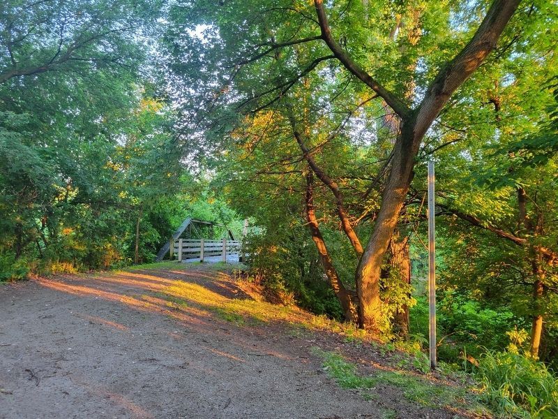
2. Gugel Bridge Missing Marker
Photographed by Kevin W., June 5, 2024
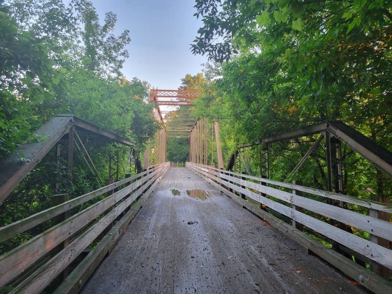
3. Gugel Bridge
View is on the North side, near where the missing marker was located, looking South.
Photographed by Joel Seewald, August 11, 2018
4. Gugel Bridge
View of the bridge from the south.
Photographed by Joel Seewald, August 11, 2018
5. Gugel Bridge
View from Cass River (southeast side of bridge) showing only the Pratt through truss. The pony truss is out of view on the right (north) side.
Credits. This page was last revised on June 5, 2024. It was originally submitted on September 10, 2021, by Joel Seewald of Madison Heights, Michigan. This page has been viewed 695 times since then and 35 times this year. Photos: 1. submitted on September 10, 2021, by Joel Seewald of Madison Heights, Michigan. 2, 3. submitted on June 5, 2024, by Kevin W. of Stafford, Virginia. 4, 5. submitted on September 10, 2021, by Joel Seewald of Madison Heights, Michigan.
Editor’s want-list for this marker. Photos of both sides of the marker. • Can you help?
