Near Arnett in Ellis County, Oklahoma — The American South (West South Central)
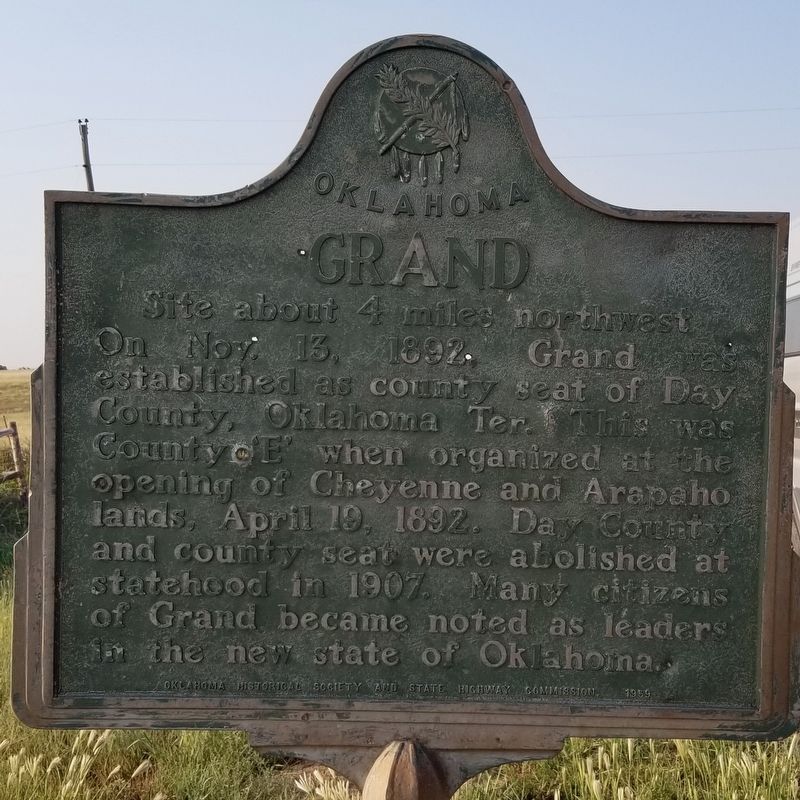
Grand
Site about 4 miles northwest
Photographed by James Hulse, September 9, 2021
1. Grand Marker
Erected 1959 by Oklahoma Historical Society and State Highway Commission.
Topics. This historical marker is listed in this topic list: Settlements & Settlers. A significant historical date for this entry is April 19, 1892.
Location. 35° 58.161′ N, 99° 45.355′ W. Marker is near Arnett, Oklahoma, in Ellis County. It is at the intersection of U.S. 283 and E0270 Road, on the left when traveling north on U.S. 283. The marker is located at the intersection of the Highway with a County road. Touch for map. Marker is in this post office area: Arnett OK 73832, United States of America. Touch for directions.

Regionally, this marker is in Northwest Oklahoma — Red Carpet Country. It is also in the American South, specifically on the prairies, and on the Southern Plains. Globally, it is in North America, the Western
this page online
Other nearby markers. At least one other marker is within 12 miles of this marker, measured as the crow flies: California Road (approx. 12 miles away).
Photographed by James Hulse, September 9, 2021
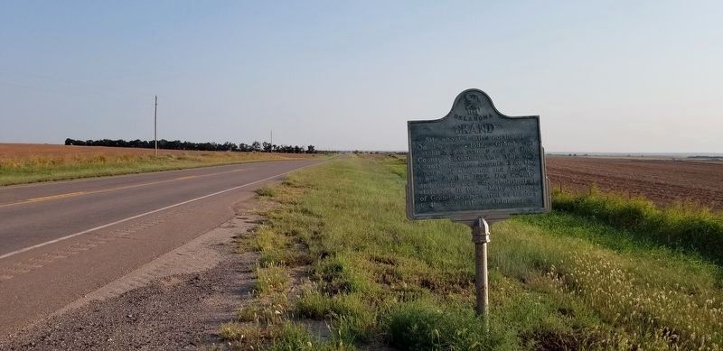
2. The Grand Marker on the side of the road
Photographed by James Hulse, September 9, 2021
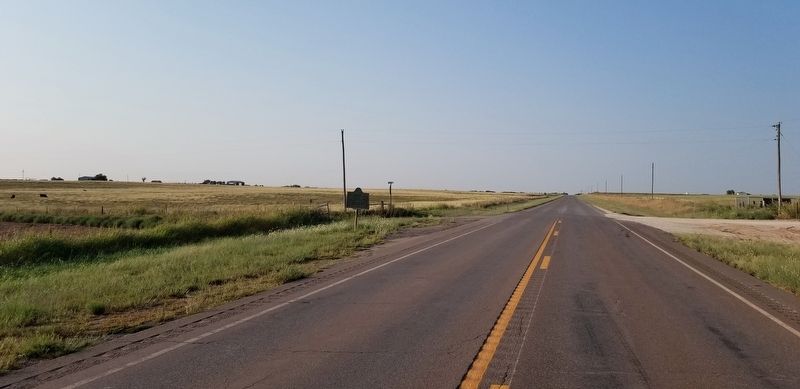
3. The view of the Grand Marker from the road
Credits. This page was last revised on September 11, 2021. It was originally submitted on September 11, 2021, by James Hulse of Medina, Texas. This page has been viewed 504 times since then and 41 times this year. Photos: 1, 2, 3. submitted on September 11, 2021, by James Hulse of Medina, Texas.
