Cranks in Harlan County, Kentucky — The American South (East South Central)
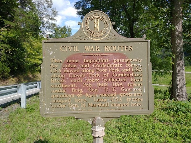
Civil War Routes
Erected 1962 by Kentucky Historical Society & Kentucky Department of Highways. (Marker Number 570.)
Topics. This historical marker is listed in this topic list: War, US Civil. A significant historical month for this entry is February 1862.
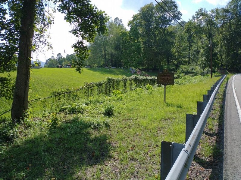
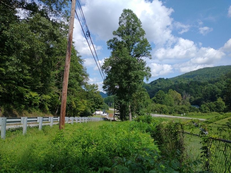
Location. 36° 45.773′ N, 83° 11.3′ W. Marker is in Cranks, Kentucky, in Harlan County. Marker is on Kentucky Route 3001, 0.1 miles north of U.S. 421, on the left when traveling west. Touch for map. Marker is in this post office area: Cranks KY 40820, United States of America. Touch for directions.
Other nearby markers. At least 8 other markers are within 10 miles of this marker, measured as the crow flies. Lee County Virginia / Kentucky (approx. 3˝ miles away in Virginia); Jonesville Methodist Camp Ground (approx. 6.1 miles away in Virginia); Doctor Still’s Birthplace (approx. 6.4 miles away in Virginia); Jonesville (approx. 6˝ miles away in Virginia); a different marker also named Doctor Still’s Birthplace (approx. 6.7 miles away in Virginia); Pennington Gap (approx. 8.9 miles away in Virginia); Scouting in Harlan County (approx. 9.3 miles away); Thompson Settlement Church (approx. 9.3 miles away in Virginia).
Credits. This page was last revised on September 11, 2021. It was originally submitted on September 11, 2021, by Tom Bosse of Jefferson City, Tennessee. This page has been viewed 310 times since then and 36 times this year. Photos: 1, 2, 3. submitted on September 11, 2021, by Tom Bosse of Jefferson City, Tennessee. • Bernard Fisher was the editor who published this page.


