Sitka in Sitka Borough, Alaska — Northwest (North America)
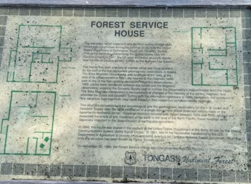
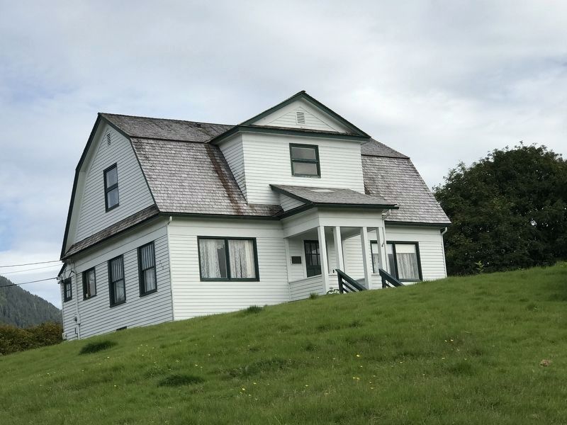
Forest Service House
This house was built originally to provide office and living quarters for the staff of the first permanent geomagnetic observatory. The Sitka Magnetic Observatory, with a latitude of 61° was, at the time of establishment in 1901, the nearest to the magnetic north pole of any of the then existing permanent magnetic observatories. In 1922, cables were connected between this house and the Magnetic Observatory, enabling the Geodetic Observatory staff to monitor the Observatory's magnetometer from the house. The Sitka Magnetic Observatory's measurement of changes in the intensity of the earth's magnetic field provided the Coast and Geodetic Survey with the information necessary to notify navigators and surveyors of any variations from true north they could expect in their respective compass needle reading.
This structure served as both the seismological and the geomagnetic observatory for the U.S. Coast and Geodetic Survey after the 1929 installation of a single component Wood-Anderson seismometer in the basement's northwest corner. Readings from the seismometer, taken between 1929 and 1940, located and measured the extent of any movement of the earth in the area of the North Pacific; these readings were especially important in the determination of earthquake epicenters.
In 1940, this house was placed in the custody of the United States Department of the Army for use by the Alaska Communications System (Amy Signal Corps). In 1961, title of the house was transferred to the U.S. Department of Agriculture to provide office and living quarters for Tongass National Forest personnel. From that time this structure has been known as Forest Service House.
On November 25, 1966, the Forest Service House was placed on the National Register of Historic Places.
Erected by U.S. Forest Service.
Topics. This historical marker is listed in these topic lists: Architecture • Horticulture & Forestry • Science & Medicine. A significant historical year for this entry is 1916.
Location. 57° 3.045′ N, 135° 20.179′ W. Marker is in Sitka, Alaska, in Sitka Borough. Marker is at the intersection of Seward Street and American Street, on the right when traveling east on Seward Street. Touch for map. Marker is at or near this postal address: 210 Seward Street, Sitka AK 99835, United States of America. Touch for directions.
Other nearby markers. At least 8 other markers are within walking distance of this marker. St. Michael's Cathedral (about 300 feet away, measured in a direct line); St. Michael's Russian Orthodox Cathedral (about 300 feet away); Sitka Lutheran Church (about 400 feet away); Sentinel of a Divided Town (about 500 feet away); Tilson Building (about 500 feet away); Sitka Woman's Club (about 600 feet away); Staton's Steakhouse and Cocktail Lounge (about 600 feet away); 250th Anniversary of the Bering- Chirikov Expedition (about 700 feet away). Touch for a list and map of all markers in Sitka.

Photographed By Duane and Tracy Marsteller, September 1, 2021
3. Forest Service House — Supplemental marker
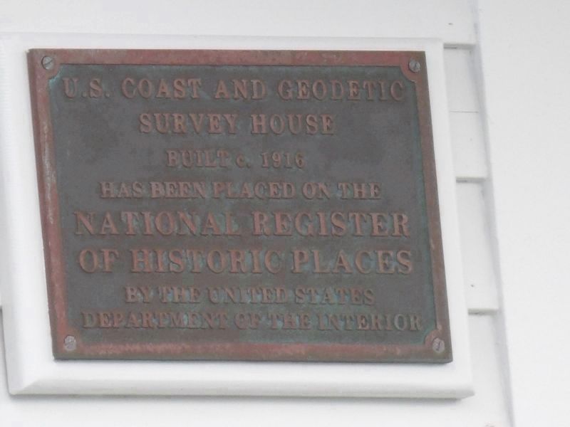
Marker is affixed on the building's American Street side. It reads:
U.S. Coast and Geodetic
Survey House
Built c. 1916
has been placed on the
National Register
of Historic Places
by the United States
Department of the Interior
Survey House
Built c. 1916
has been placed on the
National Register
of Historic Places
by the United States
Department of the Interior
Credits. This page was last revised on September 11, 2021. It was originally submitted on September 11, 2021, by Duane and Tracy Marsteller of Murfreesboro, Tennessee. This page has been viewed 249 times since then and 65 times this year. Photos: 1, 2, 3. submitted on September 11, 2021, by Duane and Tracy Marsteller of Murfreesboro, Tennessee.

