Rices Landing in Greene County, Pennsylvania — The American Northeast (Mid-Atlantic)
Railroad
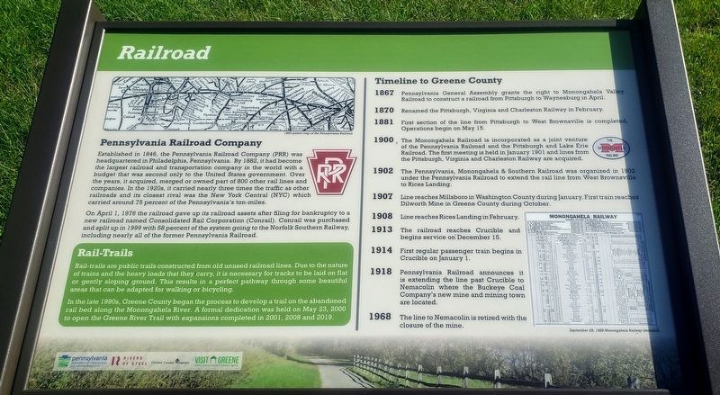
Pennsylvania Railroad Company
Established in 1846, the Pennsylvania Railroad Company (PRR) was headquartered in Philadelphia, Pennsylvania. By 1882, it had become the largest railroad and transportation company in the world with a budget that was second only to the United States government. Over the years, it acquired, merged or owned part of 800 other rail lines and companies. In the 1920s, it carried nearly three times the traffic as other railroads and its closest rival was the New York Central (NYC) which carried around 75 percent of the Pennsylvania's ton-miles.
On April 1, 1976 the railroad gave up its railroad assets after filing for bankruptcy to a new railroad named Consolidated Rail Corporation (Conrail). Conrail was purchased and split up in 1999 with 58 percent of the system going to the Norfolk Southern Railway, including nearly all of the former Pennsylvania Railroad.
Rail-Trails
Rail-trails are public trails constructed from old unused railroad lines. Due to the nature of trains and the heavy loads that they carry, it is necessary for tracks to be laid on flat or gently sloping ground. This results in a perfect pathway through some beautiful areas that can be adapted for walking or bicycling.
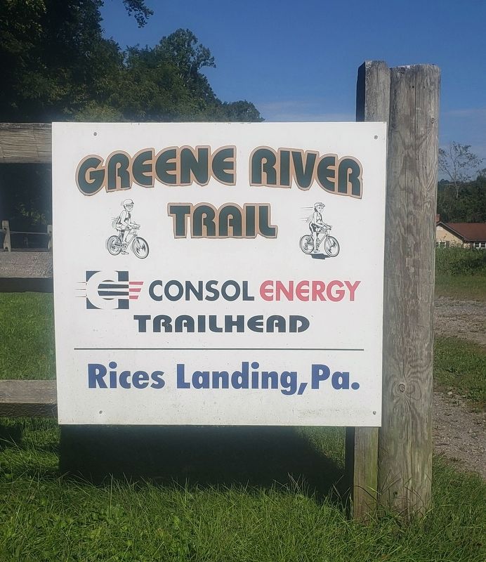
In the late 1990s, Greene County began the process to develop a trail on the abandoned rail bed along the Monongahela River. A formal dedication was held on May 23, 2000 to open the Greene River Trail with expansions completed in 2001, 2008 and 2019.
Timeline to Greene County
1867 Pennsylvania General Assembly grants the right to Monongahela Valley Railroad to construct a railroad from Pittsburgh to Waynesburg in April.
1870 Renamed the Pittsburgh, Virginia and Charleston Railway in February.
1881 First section of the line from Pittsburgh to West Brownsville is completed. Operations begin on May 15.
1900 The Monongahela Railroad is incorporated as a joint venture of the Pennsylvania Railroad and the Pittsburgh and Lake Erie Railroad. The first meeting is held in January 1901 and lines from the Pittsburgh, Virginia and Charleston Railway are acquired.
1902 The Pennsylvania, Monongahela & Southern Railroad was organized in 1902 under the Pennsylvania Railroad to extend the rail line from West Brownsville to Rices Landing.
1907 Line reaches Millsboro in Washington County during January. First train reaches Dilworth Mine in Greene County during October.
1908 Line reaches Rices Landing in February.
1913 The railroad reaches Crucible and begins service on December 15.
1914
First regular passenger train begins in Crucible on January 1.
1918 Pennsylvania Railroad announces it is extending the line past Crucible to Nemacolin where the Buckeye Coal Company's new mine and mining town are located.
1968 The line to Nemacolin is retired with the closure of the mine.
Caption:
September 29, 1929 Monongahela Railway timetable.
Erected 2020 by Pennsylvania Department of Conservation and Natural Resources, Rivers of Steel, Greene County Museum, Greene County Tourist Promotion Agency.
Topics. This historical marker is listed in this topic list: Railroads & Streetcars.
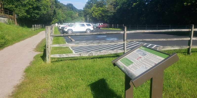
Location. 39° 57.094′ N, 80° 0.232′ W. Marker is in Rices Landing, Pennsylvania, in Greene County. Marker can be reached from Main Street north of Rices Landing Road (County Route 1010), on the left when traveling north. Marker is located on the Greene River Trail just south of the Rices Landing Trailhead parking lot. The parking lot is located on Main Street across from Rices Landing United Methodist Church. Touch for map. Marker is at or near this postal address: 125 Main Street, Rices Landing PA 15357, United States of America. Touch for directions.
Other nearby markers. At least 8 other markers are within walking distance of this marker. Rices Landing (within shouting distance of this marker); Monongahela River (within shouting distance of this marker); Gateway Mine (approx. ¼ mile away); Rice's Landing Jail (approx. ¼ mile away); Isaac Hewitt Pottery (approx. 0.3 miles away); Foundry (approx. 0.3 miles away); Dilworth Mine (approx. 0.3 miles away); W.A. Young & Sons Foundry and Machine Shop (approx. 0.3 miles away). Touch for a list and map of all markers in Rices Landing.
Credits. This page was last revised on September 14, 2021. It was originally submitted on September 11, 2021, by Bradley Owen of Morgantown, West Virginia. This page has been viewed 273 times since then and 38 times this year. Photos: 1, 2, 3. submitted on September 11, 2021, by Bradley Owen of Morgantown, West Virginia. • Bill Pfingsten was the editor who published this page.


