Near Union Springs in Bullock County, Alabama — The American South (East South Central)
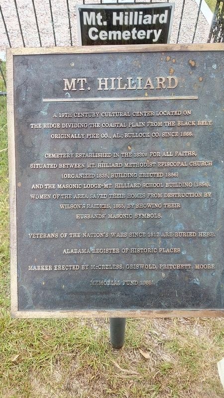
Mt. Hilliard
Cemetery established in the 1830s for all faiths, situated between Mt. Hilliard Methodist Episcopal Church (organized 1835, building erected 1856) and the Masonic Lodge - Mt. Hilliard School Building (1854). Women of the area saved their homes from destruction by Wilson Raiders, 1865 by showing their husbands' Masonic Symbols. Veterans of the nation's wars since 1812 are buried here.
Erected 1988 by McCreless, Griswold, Pritchett, Moore Memorial Fund.
Topics. This historical marker is listed in these topic lists: Cemeteries & Burial Sites • Churches & Religion. A significant historical year for this entry is 1830.
Location. 32° 3.616′ N, 85° 52.135′ W. Marker is near Union Springs, Alabama, in Bullock County. Marker can be reached from County Road 14. Touch for map. Marker is at or near this postal address: 1648 Co Rd 14, Union Springs AL 36089, United States of America. Touch for directions.
Other nearby markers. At least 8 other markers are within 11 miles of this marker, measured as the crow flies. Mt. Hilliard Methodist Church (within shouting distance of this marker); China Grove (approx. 5.3 miles away); Sardis Baptist Church, Cemetery, and School (approx. 6˝ miles away); Mt. Pleasant Cemetery (approx. 7.9 miles away); Samuel Sellers Cemetery (approx. 9.7 miles away); Indian Treaty Boundary Line (approx. 9.9 miles away); a different marker also named Indian Treaty Boundary Line (approx. 10.2 miles away); Three Notch Road (approx. 10.4 miles away). Touch for a list and map of all markers in Union Springs.
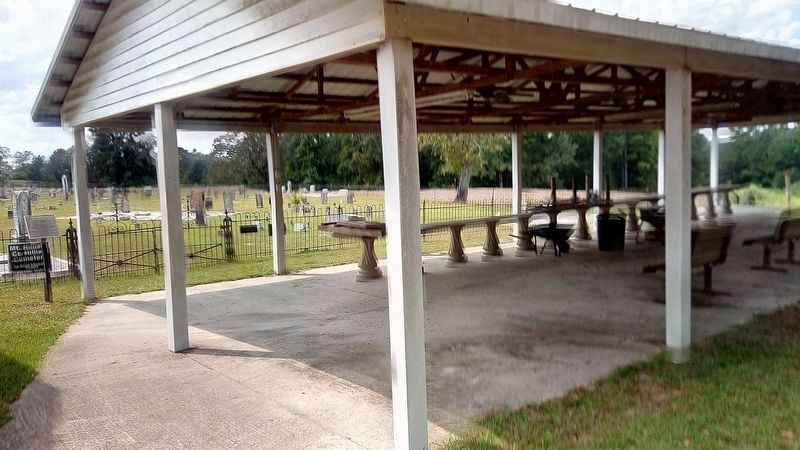
More about this marker. Marker is hard to see from the road. It is next to church on the right side.
Credits. This page was last revised on October 6, 2021. It was originally submitted on September 12, 2021, by James L.Whitman of Eufaula, Alabama. This page has been viewed 286 times since then and 68 times this year. Photos: 1, 2. submitted on September 12, 2021, by James L.Whitman of Eufaula, Alabama. • Mark Hilton was the editor who published this page.

