Bethel in Anderson County, Texas — The American South (West South Central)
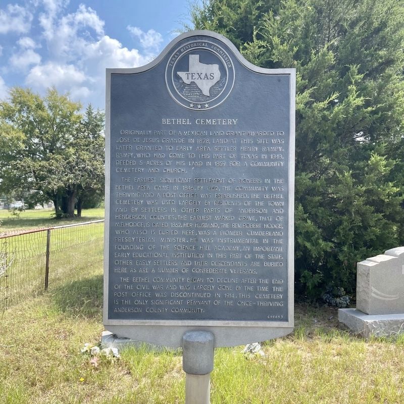
Bethel Cemetery
Originally part of a Mexican land grant awarded to Jose de Jesus Grande in 1828, land at this site was later granted to early area settler Henry Rampy. Rampy, who had come to this part of Texas in 1848, deeded 5 acres of his land in 1859 for a community cemetery and church.
The earliest significant settlement of pioneers in the Bethel area came in 1846. By 1852, the community was thriving and a post office was established. The Bethel Cemetery was used largely by residents of the town and by settlers in other parts of Anderson and Henderson Counties. The earliest marked grave, that of M.B. Hodge, is dated 1862. Her husband, the Rev. Robert Hodge, who also is buried here, was a pioneer Cumberland Presbyterian minister. He was instrumental in the founding of the Science Hill academy, an important early educational institution in this part of the state. Other early settlers and their descendants are buried here, as are a number of Confederate veterans.
The Bethel community began to decline after the end of the Civil War and was largely gone by the time the post office was discontinued in 1914. This cemetery is the only significant remnant of the once-thriving Anderson County community.
Erected 1985 by Texas Historical Commission. (Marker Number 8737.)
Topics. This historical marker is listed in this topic list: Cemeteries & Burial Sites.
Location. 31° 55.41′ N, 95° 55.638′ W. Marker is in Bethel, Texas, in Anderson County. Marker is at the intersection of County Highway 2602 and County Highway 2601, on the left when traveling north on County Highway 2602. Touch for map. Marker is in this post office area: Tennessee Colony TX 75861, United States of America. Touch for directions.
Other nearby markers. At least 3 other markers are within 15 miles of this marker, measured as the crow flies. Old Montalba (approx. 11 miles away); Lewis Corner (approx. 12 miles away); Owen Cemetery (approx. 14.8 miles away).
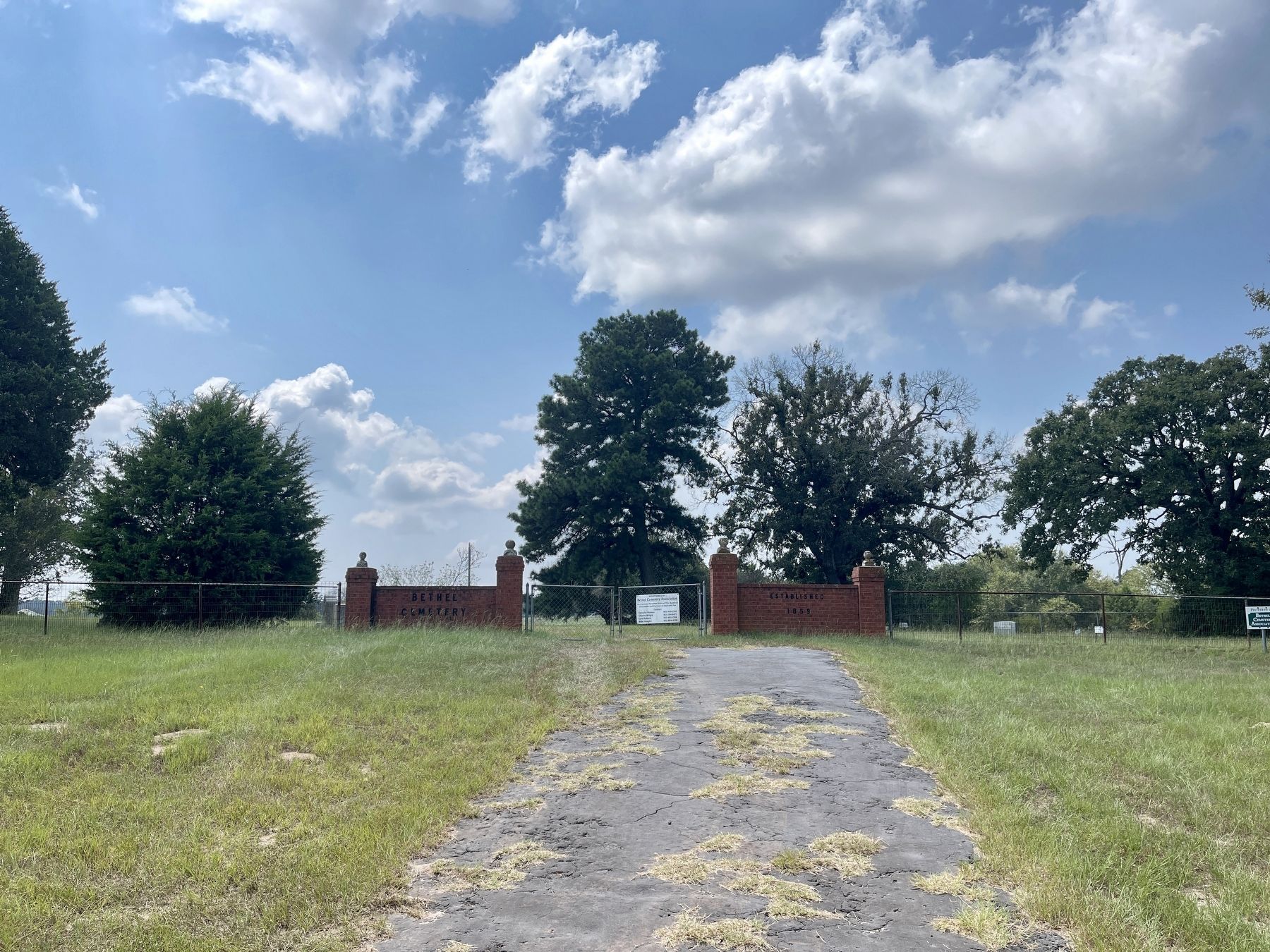
More about this marker. The marker is not facing the road, so only the edge of the marker is visible from the road. It stands just inside the cemetery fence/wall, to the left as one enters the main gate.
Credits. This page was last revised on September 13, 2021. It was originally submitted on September 12, 2021, by QuesterMark of Fort Worth, Texas. This page has been viewed 526 times since then and 90 times this year. Photos: 1, 2. submitted on September 12, 2021, by QuesterMark of Fort Worth, Texas. • J. Makali Bruton was the editor who published this page.

