Grand Island in Hall County, Nebraska — The American Midwest (Upper Plains)
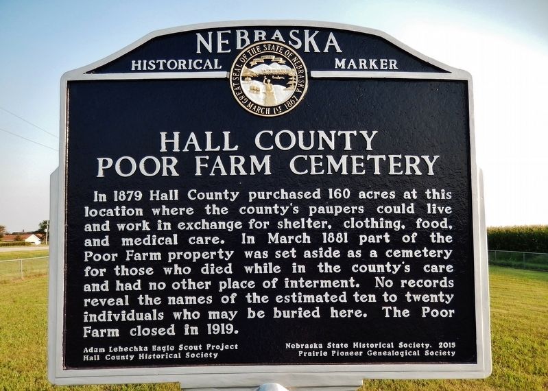
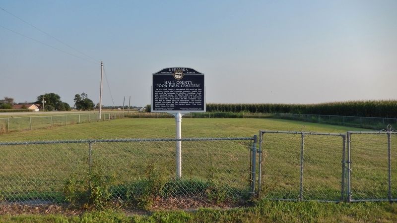
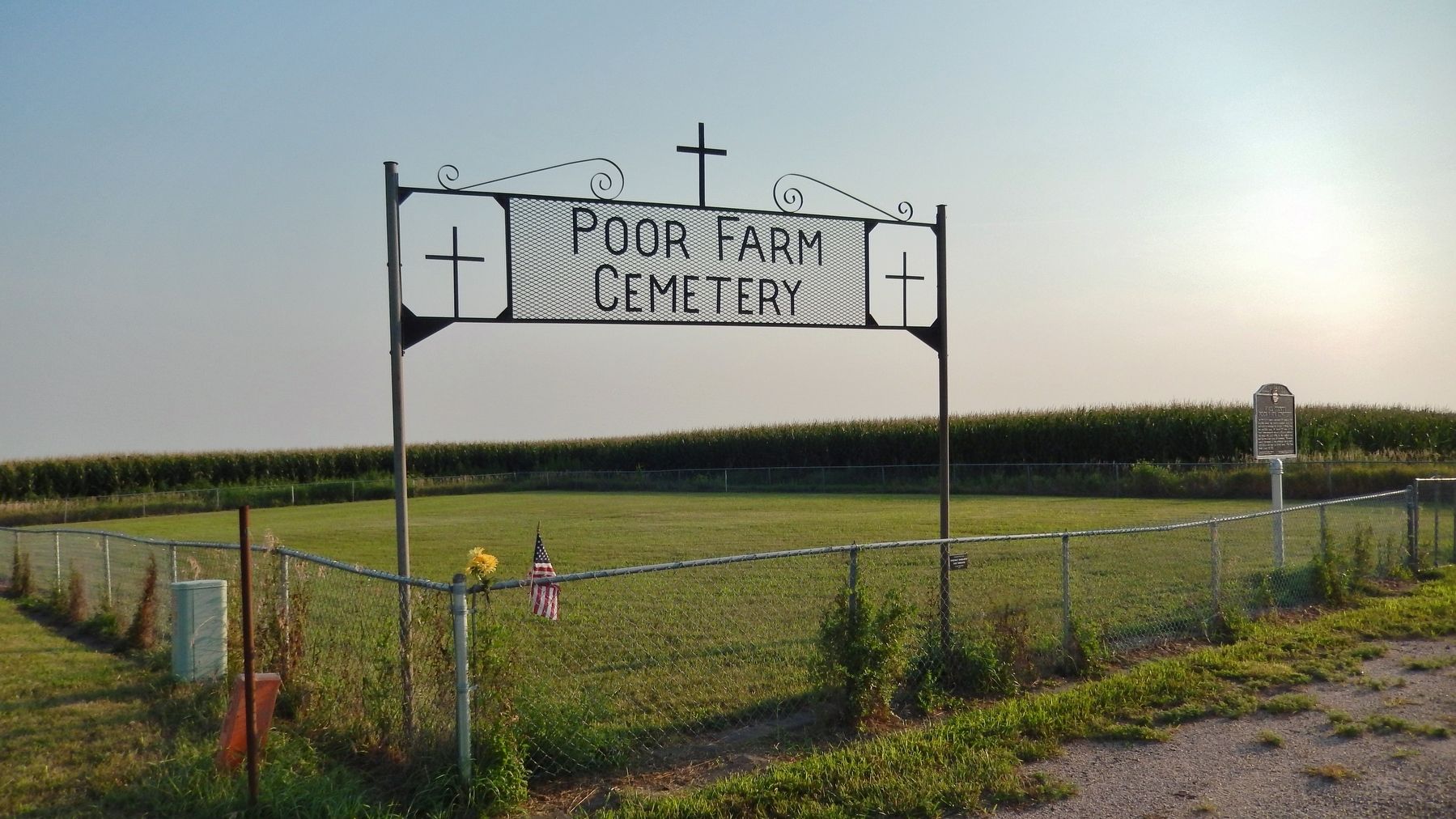
Hall County Poor Farm Cemetery
Erected 2015 by Adam Lehechka Eagle Scout Project; Hall County Historical Society; Prairie Pioneer Genealogical Society; and Nebraska State Historical Society. (Marker Number 506.)
Topics and series. This historical marker is listed in these topic lists: Cemeteries & Burial Sites • Charity & Public Work • Fraternal or Sororal Organizations. In addition, it is included in the Nebraska State Historical Society series list. A significant historical month for this entry is March 1881.
Location. 40° 58.478′ N, 98° 21.582′ W. Marker is on Grand Island, Nebraska, in Hall County. Marker can be reached from the intersection of American Legion Memorial Highway (U.S. 281) and West Abbott Road (County Road 39), on the right when traveling south. Marker and cemetery are located at the southwest corner of the intersection. Touch for map. Marker is at or near this postal address: 185 West Abbott Road, Grand Island NE 68803, United States of America. Touch for directions.
Other nearby markers. At least 8 other markers are within 3 miles of this marker, measured as the crow flies. B-17 Bomber Crash, 1944 (approx. 1.9 miles away); 6th Bomb Group (approx. 1.9 miles away); Vietnam War Memorial (approx. 1.9 miles away); Hall County Veterans Memorial Park (approx. 1.9 miles away); Grand Island Veterans Home (approx. 2 miles away); Arrasmith Field (approx. 2.2 miles away); Amiel Whipple W.R.C. Civil War Memorial (approx. 2.2 miles away); B-29 Superfortress / 6th Bomb Group / Tinian Island (approx. 2.2 miles away). Touch for a list and map of all markers in Grand Island.
Also see . . .
1. Poor Farm Cemetery. Wooden crosses and markers were put up, but have long since been gone. Many years later, and many years ago, the county decided to use the plot of land as a storage place for their equipment. While excavating on the plot they came in contact with what was presumed to be a coffin. A fence was then put up around the area where the graves are thought to be. (Submitted on September 13, 2021, by Cosmos Mariner of Cape Canaveral, Florida.)
2. Graves Marked at Poor Farm Cemetery. (from The Grand Island Independent, 6/7/2015) Troop 14 Boy Scout Adam Lehechka took on the
cemetery restoration as an Eagle Scout project. Lehechka spearheaded a $2,700 fundraising campaign that helped buy a Nebraska State Historical Society marker, which was erected two days before Memorial Day. (Submitted on September 13, 2021, by Cosmos Mariner of Cape Canaveral, Florida.)
Credits. This page was last revised on September 13, 2021. It was originally submitted on September 12, 2021, by Cosmos Mariner of Cape Canaveral, Florida. This page has been viewed 296 times since then and 96 times this year. Photos: 1, 2, 3. submitted on September 13, 2021, by Cosmos Mariner of Cape Canaveral, Florida.


