Downtown Juneau in Juneau Borough, Alaska — Northwest (North America)
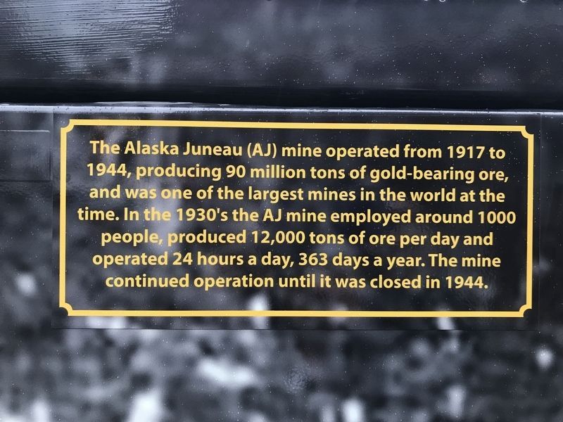
The Alaska-Juneau Mine
Topics. This historical marker is listed in this topic list: Industry & Commerce. A significant historical year for this entry is 1917.
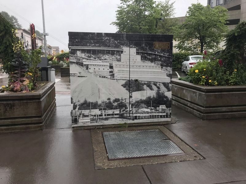
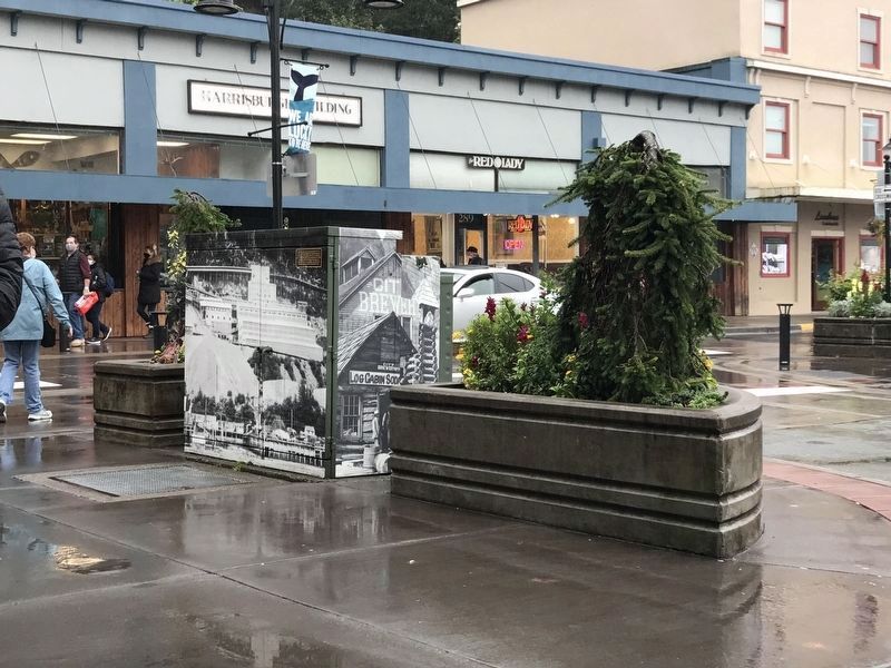
Location. 58° 17.931′ N, 134° 24.223′ W. Marker is in Juneau, Alaska, in Juneau Borough. It is in Downtown Juneau. Marker can be reached from the intersection of Admiral Way and South Franklin Street, on the right when traveling west. Marker is on an electrical junction box and faces the sidewalk, so it is not visible from the street. Touch for map. Marker is at or near this postal address: 278 South Franklin Street, Juneau AK 99801, United States of America. Touch for directions.
Other nearby markers. At least 8 other markers are within walking distance of this marker. Manila Square (here, next to this marker); Cape Spencer (about 300 feet away, measured in a direct line); Cape Saint Elias (about 300 feet away); Cape Hinchinbrook (about 300 feet away); Eldred Rock (about 300 feet away); Cape Sarichef & Scotch Cap (about 300 feet away); Lincoln Rock, Fairway Island & Point Sherman (about 300 feet away); Point Retreat (about 300 feet away). Touch for a list and map of all markers in Juneau.
Also see . . . Alaska-Juneau Gold Mining Company (Wikipedia). (Submitted on September 13, 2021, by Duane and Tracy Marsteller of Murfreesboro, Tennessee.)

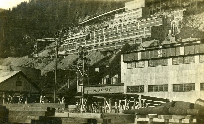
Tom Brandt via Flickr (CC BY 2.0), circa 1925
4. The Alaska-Juneau Mine
Photograph of a 1920s picture postcard featuring the gold mine.
Credits. This page was last revised on September 13, 2021. It was originally submitted on September 13, 2021, by Duane and Tracy Marsteller of Murfreesboro, Tennessee. This page has been viewed 245 times since then and 30 times this year. Photos: 1, 2, 3, 4. submitted on September 13, 2021, by Duane and Tracy Marsteller of Murfreesboro, Tennessee.


