Ravenna in Buffalo County, Nebraska — The American Midwest (Upper Plains)
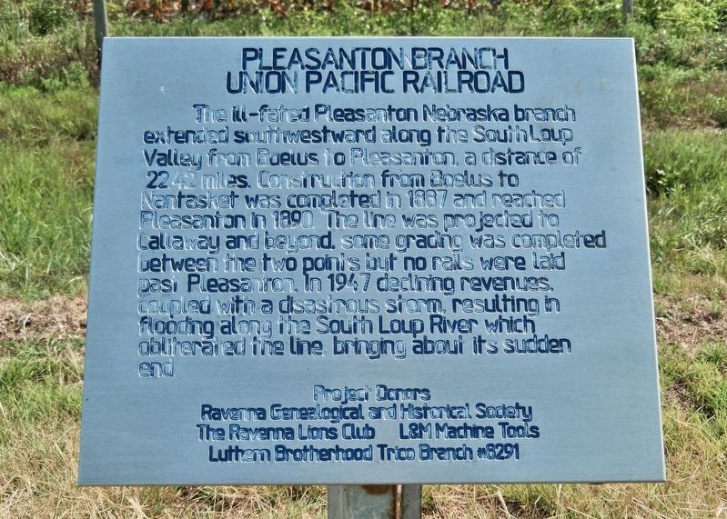
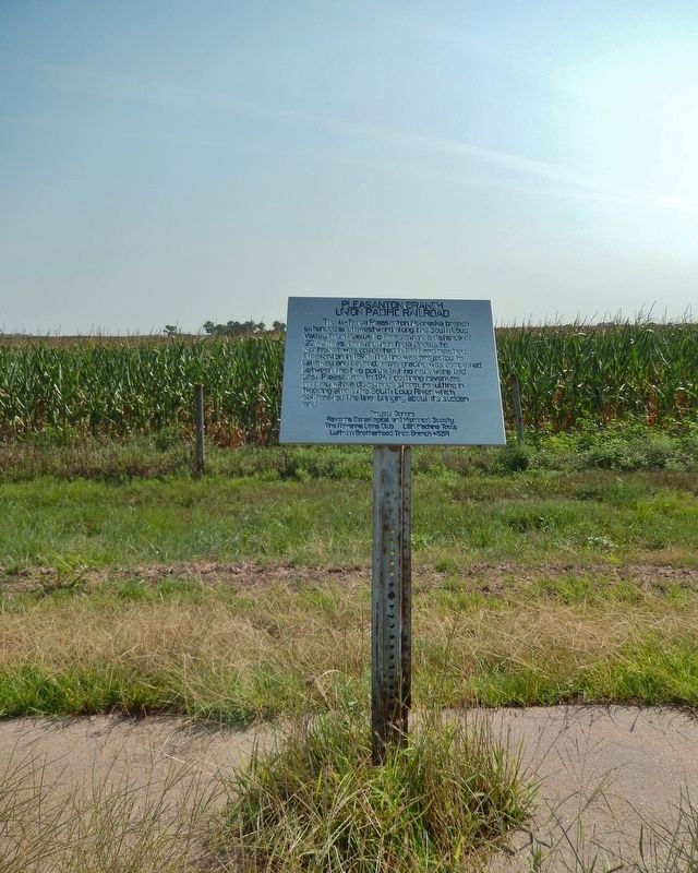
Pleasanton Branch Union Pacific Railroad
Erected by Ravenna Genealogical and Historical Society; Ravenna Lions Club; L&M Machine Tools; and Lutheran Brotherhood Trico Branch #8291.
Topics. This historical marker is listed in these topic lists: Disasters • Railroads & Streetcars • Waterways & Vessels. A significant historical year for this entry is 1887.
Location. 41° 0.642′ N, 98° 53.737′ W. Marker is in Ravenna, Nebraska, in Buffalo County. Marker is on State Highway 2, one mile east of Ravenna Road (State Highway 68), on the right when traveling east. Marker is located in a pull-out on the south side of the highway. Touch for map. Marker is in this post office area: Ravenna NE 68869, United States of America. Touch for directions.
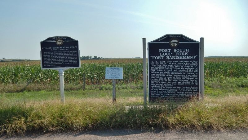
Other nearby markers. At least 5 other markers are within 14 miles of this marker, measured as the crow flies. Post South Loup Fork (here, next to this marker); Civilian Conservation Corps (here, next to this marker); John Pesek (approx. 1.4 miles away); Solon H. Borglum (approx. 9.4 miles away); Austin (approx. 13.3 miles away).
Also see . . .
1. Abandoned Rails: Boelus to Pleasanton, NE. Completed in 1890, this Union Pacific branch line split from the branch to Loup City at Boelus and followed the South Loup River to Pleasanton. It crossed the current BNSF main line at Ravenna just east of town. The line was abandoned after a washout in 1947 rendered it unusable; it is still visible in satellite imagery today. (Submitted on September 14, 2021, by Cosmos Mariner of Cape Canaveral, Florida.)
2. Looking back on historic flooding in Ravenna: In 1947 the 'worst flood' struck. (from Kearney Hub 4/9/2019) The Kearney Daily Hub reported on June 23, 1947, that up to 10 inches of rain fell near Sumner, Miller and Amherst, and north of Elm Creek and Overton. Water in the South Loup River raged out of its banks and flooded downstream to Pleasanton, then Poole, now an unincorporated village southwest of Ravenna. The Ravenna News reported that the town was isolated during the flood. There was no train, highway, telegraph, telephone or mail service. (Submitted on September 14, 2021, by Cosmos Mariner of Cape Canaveral, Florida.)
3. Top 5 Nebraska Floods: Medicine Creek/Republican River Flood of 1947. During June 1947, flooding was severe along Medicine Creek and the downstream reaches of the Republican River in southwestern Nebraska, along the Elkhorn River in northeastern Nebraska, and along the lower Loup River in central Nebraska. (Submitted on September 14, 2021, by Cosmos Mariner of Cape Canaveral, Florida.)
Credits. This page was last revised on September 14, 2021. It was originally submitted on September 13, 2021, by Cosmos Mariner of Cape Canaveral, Florida. This page has been viewed 233 times since then and 24 times this year. Photos: 1, 2, 3. submitted on September 14, 2021, by Cosmos Mariner of Cape Canaveral, Florida.


