Downtown Juneau in Juneau Borough, Alaska — Northwest (North America)
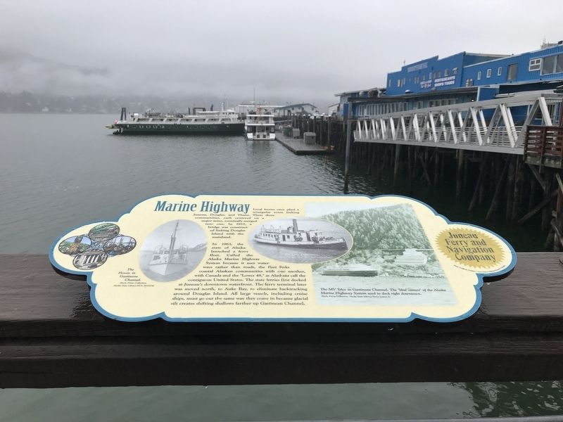
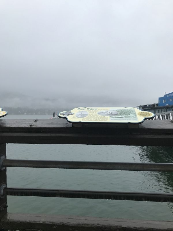
Marine Highway
Sea & Sky: Juneau's Links to the World
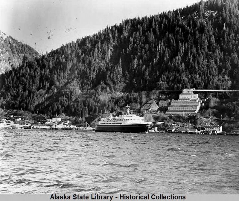
In 1963, the state of Alaska launched a ferry fleet. Called the Alaska Marine Highway System because it uses waterways rather than roads, the fleet links coastal Alaskan communities with one another, with Canada and the "Lower 48,” as Alaskans call the contiguous United States. The state ferries first docked at Juneau's downtown waterfront. The ferry terminal later was moved north, to Auke Bay, to eliminate backtracking around Douglas Island. All large vessels, including cruise ships, must go out the same way they come in because glacial silt creates shifting shallows farther up Gastineau Channel.
Captions (left to right)
• The Flossie in Gastineau Channel. (Early Prints Collections, Alaska State Library PCA 39-0774)
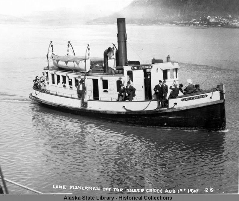
• The Lone Fisherman.
• The MV Taku in Gastineau Channel. The "blue canoes” of the Alaska Marine Highway System used to dock right downtown. (Early Prints Collections, Alaska State Library, Ferry System-5)
• Stock certificate emblem Last Chance Mining Museum Collection
Topics. This historical marker is listed in these topic lists: Bridges & Viaducts • Industry & Commerce • Waterways & Vessels. A significant historical year for this entry is 1963.
Location. 58° 17.948′ N, 134° 24.398′ W. Marker is in Juneau, Alaska, in Juneau Borough. It is in Downtown Juneau. Marker can be reached from Marine Way. Marker is on the Juneau Harbor Boardwalk in Marine Park, north of the cruise ship berths. Touch for map. Marker is at or near this postal address: 144 Marine Way, Juneau AK 99801, United States of America. Touch for directions.
Other nearby markers. At least 8 other markers are within walking distance of this marker. Passenger Traffic (here, next to this marker); U.S. Military Presence (here, next to this marker); Waterfront Commerce (here, next to this marker); Floating Hangars (here, next to this marker); Gold Mining (here, next to this marker); Local Airlines (here, next to this marker); Beginnings (here, next to this marker); Alaska Airlines (here, next to this marker). Touch for a list and map of all markers in Juneau.
Also see . . . Alaska Marine Highway. Wikipedia entry on the ferry system, featuring its history, fleet, routes and operation. (Submitted on September 13, 2021, by Duane and Tracy Marsteller of Murfreesboro, Tennessee.)
Credits. This page was last revised on September 14, 2021. It was originally submitted on September 13, 2021, by Duane and Tracy Marsteller of Murfreesboro, Tennessee. This page has been viewed 201 times since then and 20 times this year. Photos: 1. submitted on September 13, 2021, by Duane and Tracy Marsteller of Murfreesboro, Tennessee. 2, 3. submitted on September 14, 2021, by Duane and Tracy Marsteller of Murfreesboro, Tennessee. 4. submitted on September 13, 2021, by Duane and Tracy Marsteller of Murfreesboro, Tennessee.


