Capitol Hill in Northwest Washington in Washington, District of Columbia — The American Northeast (Mid-Atlantic)
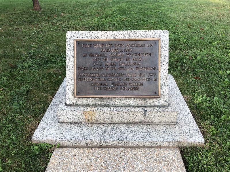
Here were the lots acquired on October 3, 1798
Inscription.
Here were the lots acquired on October 3, 1798 by General George Washington and on which he built two brick dwellings from designs by Dr. William Thornton. A dwelling remodeled from the two dwellings was owned and occupied by Admiral Charles Wilkes the famous explorer.
Topics and series. This historical marker is listed in this topic list: Notable Buildings. In addition, it is included in the Former U.S. Presidents: #01 George Washington series list. A significant historical date for this entry is October 3, 1798.
Location. 38° 53.596′ N, 77° 0.554′ W. Marker is in Northwest Washington in Washington, District of Columbia. It is in Capitol Hill. Marker can be reached from New Jersey Avenue Northwest just south of C Street Northwest, on the right when traveling north. Upper Senate Park, just south of the water fountain. Touch for map. Marker is at or near this postal address: 200 New Jersey Ave NW, Washington DC 20001, United States of America. Touch for directions.
Other nearby markers. At least 8 other markers are within walking distance of this marker. Robert A Taft (about 600 feet away, measured in a direct line); Japanese American Memorial to Patriotism During World War II (about 600 feet away); Acacia Life Insurance Building – 1936 (about 600 feet away); Capitol Square (about 700 feet away); Capitol Square, NW (approx. 0.2 miles away); The Minuteman Memorial Building (approx. 0.2 miles away); a different marker also named The Minuteman Memorial Building (approx. 0.2 miles away); a different marker also named Capitol Square (approx. 0.2 miles away). Touch for a list and map of all markers in Northwest Washington.
Credits. This page was last revised on January 30, 2023. It was originally submitted on September 14, 2021, by Ray Gurganus of Washington, District of Columbia. This page has been viewed 181 times since then and 12 times this year. Photo 1. submitted on September 14, 2021, by Ray Gurganus of Washington, District of Columbia. • Devry Becker Jones was the editor who published this page.
