Longwood in Seminole County, Florida — The American South (South Atlantic)
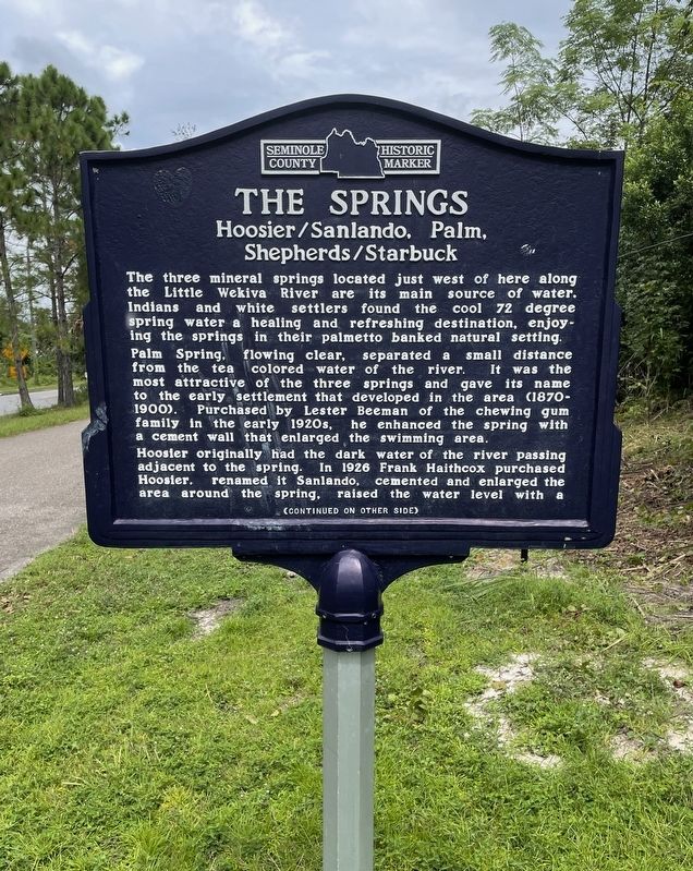
The Springs
Hoosier/Sanlando, Palm, Shepherds/Starbuck
The three mineral springs located just west of here along the Little Wekiva River are its main source of water. Indians and white settlers found the cool 72 degree spring water a healing and refreshing destination, enjoying the Springs in their palmetto banked natural setting. Palm Spring, flowing clear, separated a small distance from the tea colored water of the river. It was the most attractive of the three Springs and gave its name to the early settlement that developed in the area (1870-1900). Purchased by Lester Beeman of the chewing gum family in the early 1920s, he enhanced the spring with a cement wall that enlarged the swimming area.
Hoosier originally had the dark water of the River passing adjacent to the spring. In 1926 Frank Haithcox purchased Hoosier, renamed it Sanlando, cemented and enlarged the area adjacent to the spring, raised the water level with a
(Continued on other side)
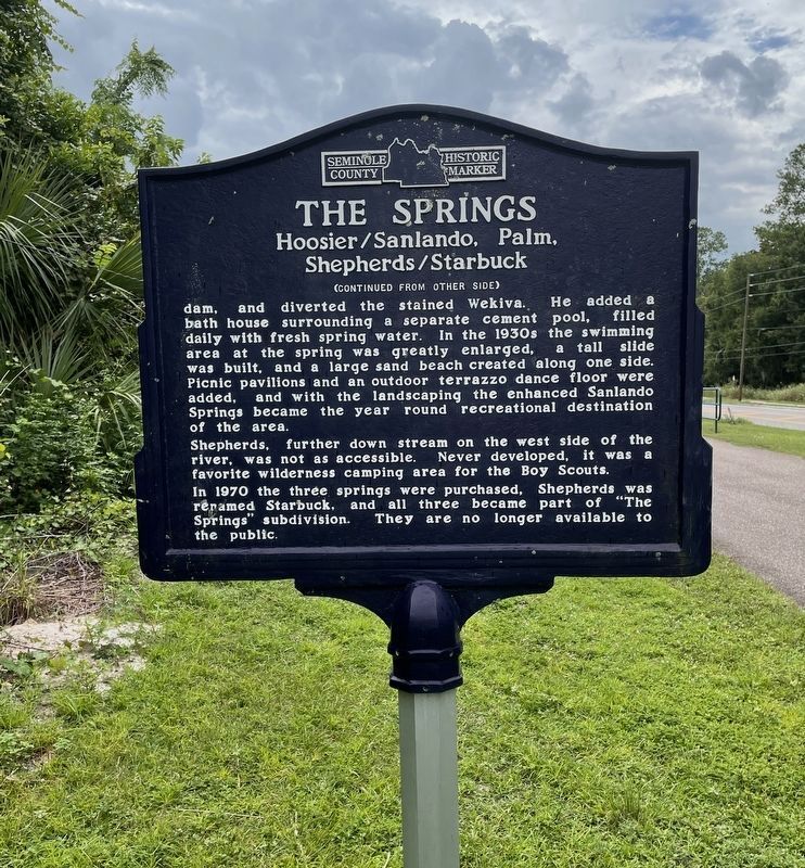
(Continued from other side)
dam, and diverted the stained Wekiva. He added a bath house surrounding a separate cement pool, filled daily with fresh spring water. In the 1930s the swimming area at the spring was greatly enlarged, a tall slide was built , and a large sand beach created along one side was built, picnic pavilions and an outdoor terrazzo dance floor where added, and with the landscaping, the Sanlando Springs became the year round recreational destination of the area.
Shepherds, further down stream on the west side of the river, was not as accessible. Never developed, it was a favorite wilderness camping area for the Boy Scouts. In 1970 the three Springs were purchased, Shepherds was renamed Starbuck, and all three became part of “The Springs” subdivision. They are no longer available to the public.
Erected by Seminole County.
Topics. This historical marker is listed in these topic lists: Entertainment • Parks & Recreational Areas • Settlements & Settlers.
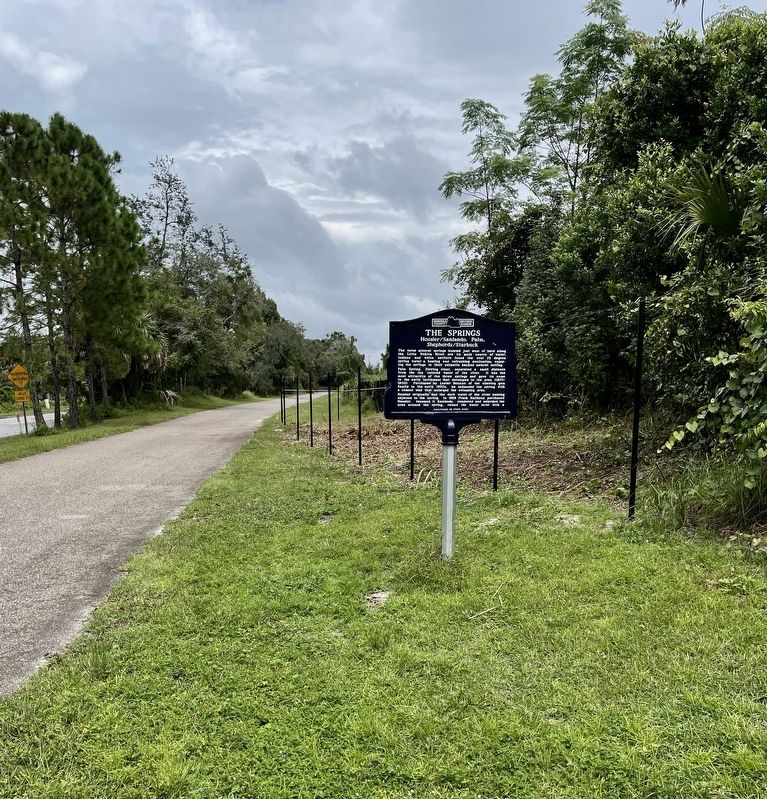
Location. Marker is missing. It was located near 28° 41.56′ N, 81° 23.432′ W. Marker was in Longwood, Florida, in Seminole County. Marker was on Markham Woods Road, 0.2 miles north of Commerce Park Drive, on the right when traveling north. Touch for map. Marker was at or near this postal address: 257 Markham Woods Road, Longwood FL 32779, United States of America. Touch for directions.
Other nearby markers. At least 8 other markers are within 3 miles of this location, measured as the crow flies. Florida Honors and Remembers our POW’s and MIA’s (approx. 0.7 miles away); Seminole County (approx. ¾ mile away); Orange Belt Railway (approx. 0.8 miles away); Altamonte Springs (approx. 1.8 miles away); a different marker also named Seminole County (approx. 2.4 miles away); a different marker also named Florida Honors and Remembers our POW’s and MIA’s (approx. 2½ miles away); William Bartram Trail (approx. 2½ miles away); The Senator II (approx. 2½ miles away). Touch for a list and map of all markers in Longwood.
Credits. This page was last revised on October 25, 2023. It was originally submitted on September 14, 2021, by Brandon D Cross of Flagler Beach, Florida. This page has been viewed 445 times since then and 109 times this year. Last updated on January 22, 2023, by Dave W of Co, Colorado. Photos: 1, 2, 3. submitted on September 14, 2021, by Brandon D Cross of Flagler Beach, Florida. 4. submitted on January 22, 2023, by Dave W of Co, Colorado. • Bernard Fisher was the editor who published this page.


