Cooleemee in Davie County, North Carolina — The American South (South Atlantic)
Hugh T. Lefler
(1901-1981)
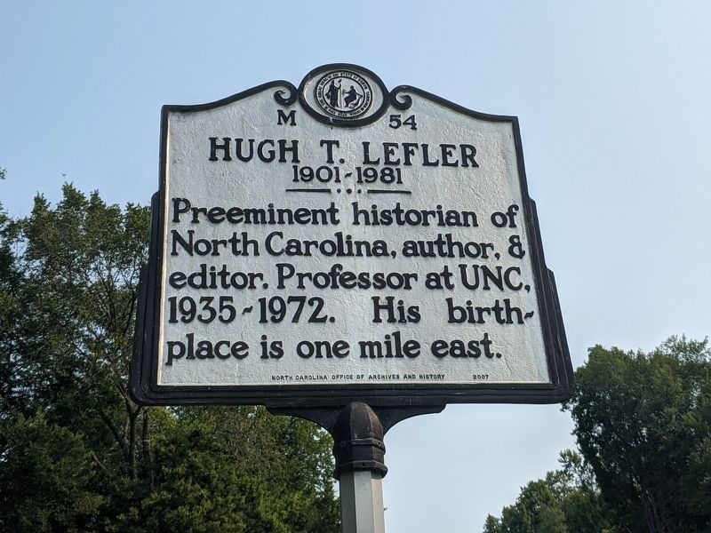
Photographed by Mike Wintermantel, September 13, 2021
1. Hugh T. Lefler Marker
Erected 2007 by North Carolina Office of Archives and History. (Marker Number M-54.)
Topics. This historical marker is listed in this topic list: Education.
Location. 35° 48.536′ N, 80° 33.315′ W. Marker is in Cooleemee, North Carolina, in Davie County. It is at the intersection of State Highway 801 and Watt Street, on the right when traveling south on State Highway 801. Touch for map. Marker is in this post office area: Cooleemee NC 27014, United States of America. Touch for directions.

Regionally, this marker is in the Piedmont. It is also in the American South and specifically in the Upper South. Globally, it is in North America, the Western Hemisphere, the Western World, and the Anglosphere. Historically, it finds itself in what was once the territory of the Mississippian Culture, one of the original Thirteen Colonies, one of the Confederate States of America, and the Antebellum South.
Other nearby markers. At least 8 other markers
this page online
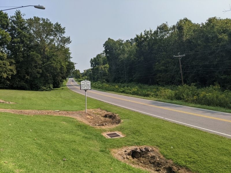
Photographed by Mike Wintermantel, September 13, 2021
2. Hugh T. Lefler Marker
Credits. This page was last revised on September 14, 2021. It was originally submitted on September 14, 2021, by Mike Wintermantel of Pittsburgh, Pennsylvania. This page has been viewed 273 times since then and 31 times this year. Photos: 1, 2. submitted on September 14, 2021, by Mike Wintermantel of Pittsburgh, Pennsylvania.
