Sioux Falls in Minnehaha County, South Dakota — The American Midwest (Upper Plains)
Mount Pleasant Cemetery
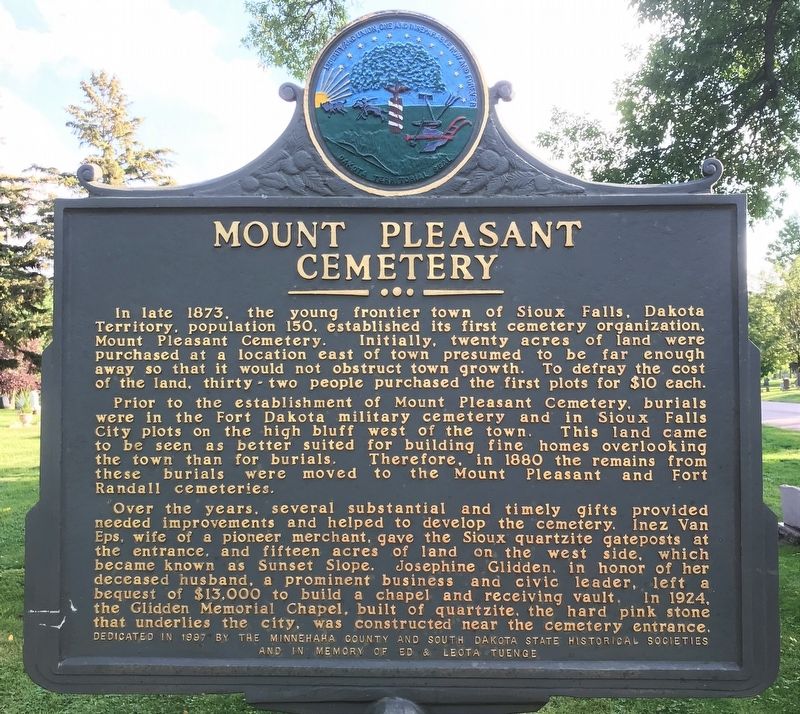
Prior to the establishment of Mount Pleasant Cemetery, burials were in the Fort Dakota military cemetery and in Sioux Falls City plots on the high bluff west of the town. This land came to be seen as better suited for building fine homes overlooking the town than for burials. Therefore, in 1880 the remains from these burials were moved to the Mount Pleasant and Fort Randall cemeteries.
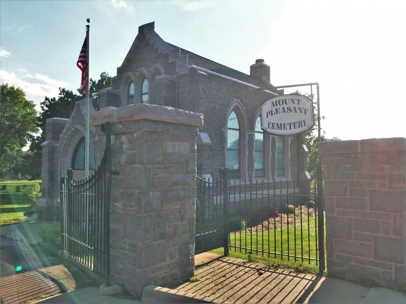
Over the years, several substantial and timely gifts provided needed improvements and helped to develop the cemetery. Inez Van Eps, wife of pioneer merchant, gave the Sioux quartzite gateposts at the entrance, and fifteen acres of land on the west side, which became known as Sunset Slope. Josephine Glidden, in honor of her deceased husband, a prominent business and civic leader, left a bequest of $13,000 to build a chapel and receiving vault. In 1924, the Glidden Memorial Chapel, built of quartzite, the hard pink stone that underlies the city, was constructed near the cemetery entrance.
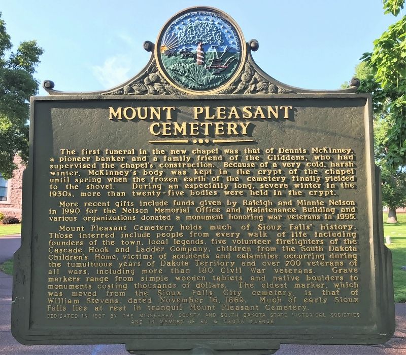
The first funeral in the new chapel was that of Dennis McKinney, a pioneer banker and a family friend of the Gliddens, who had supervised the chapel’s construction. Because of a very cold, harsh winter, McKinney’s body was kept in the crypt of the chapel until spring when the frozen earth of the cemetery finally yielded to the shovel. During an especially long, severe winter in the 1930s, more than twenty-five bodies were held in the crypt.
More recent gifts include funds given by Raleigh and Minnie Nelson in 1990 for the Nelson Memorial Office and Maintenance Building and various organizations donated a monument honoring war veterans in 1995.
Mount Pleasant Cemetery holds much of Sioux Falls’ history. Those interred include people from every walk of life including founders of the town, local legends, five volunteer firefighters of the Cascade Hook and Ladder Company, children from the South Dakota Children’s Home, victims of accidents and calamities occurring during the tumultuous years of Dakota Territory and over 700 veterans of all wars, including more than 180 Civil War veterans. Grave markers range from simple wooden tablets and native boulders to monuments costing thousands of dollars. The oldest marker, which was moved from the Sioux Falls City cemetery, is that of William Stevens, dated November 16, 1869. Much of early Sioux Falls lies at rest in tranquil Mount Pleasant Cemetery.
Erected 1997 by the Minnehaha County and South Dakota State Historical Societies and in memory of Ed & Leota Tuenge. (Marker Number 677.)
Topics and series. This historical marker is listed in this topic list: Cemeteries & Burial Sites. In addition, it is included in the South Dakota State Historical Society Markers series list. A significant historical year for this entry is 1873.
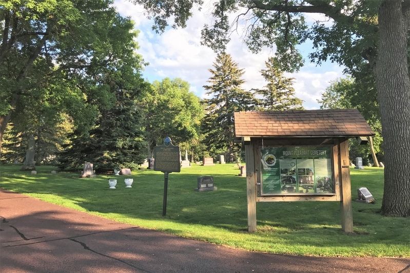
Location. 43° 32.603′ N, 96° 41.972′ W. Marker is in Sioux Falls, South Dakota, in Minnehaha County. Located in Mount Pleasant Cemetery, on the main road going south from the 12th Street entrance. Touch for map. Marker is at or near this postal address: 2001 E 12th St, Sioux Falls SD 57103, United States of America. Touch for directions.
Other nearby markers. At least 8 other markers are within walking distance of this marker. Josephine Martin Glidden Memorial Chapel (within shouting distance of this marker); Fort Dakota Soldiers (about 400 feet away, measured in a direct line); South Dakota School for the Deaf (approx. 0.3 miles away); Cherry Rock Bridge (approx. half a mile away); Children's Home Society of South Dakota (approx. half a mile away); Military Road (approx. 0.6 miles away); The First "Flying Machine" (approx. 0.7 miles away); Buffalo Bill (approx. 0.7 miles away). Touch for a list and map of all markers in Sioux Falls.
Related marker. Click here for another marker that is related to this marker.
Credits. This page was last revised on September 16, 2021. It was originally submitted on September 15, 2021. This page has been viewed 171 times since then and 25 times this year. Photos: 1, 2, 3, 4. submitted on September 15, 2021. • Mark Hilton was the editor who published this page.


