Salisbury in Rowan County, North Carolina — The American South (South Atlantic)
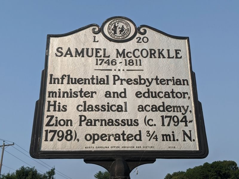
Samuel McCorkle
1746-1811
Erected 2008 by North Carolina Office of Archives and History. (Marker Number L-21.)
Topics. This historical marker is listed in these topic lists: Churches & Religion • Education.
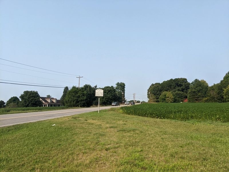
Location. 35° 38.936′ N, 80° 36.847′ W. Marker is in Salisbury, North Carolina, in Rowan County. Marker is at the intersection of Mooresville Road (State Highway 150) and G Goodnight Road, on the right when traveling west on Mooresville Road. Touch for map. Marker is in this post office area: Salisbury NC 28147, United States of America. Touch for directions.
Other nearby markers. At least 8 other markers are within 6 miles of this marker, measured as the crow flies. Thyatira Church (approx. 1.2 miles away); Matthew Locke (approx. 1.2 miles away); Thyatira Presbyterian Church Cemetery (approx. 1.2 miles away); Thyatira Presbyterian Church (approx. 1.3 miles away); A Short History of Thyatira Presbyterian Church (USA) (approx. 1.3 miles away); Four Houses of Worship (approx. 1.3 miles away); Francis Locke (approx. 1.6 miles away); Back Creek Presbyterian Church (approx. 5.2 miles away). Touch for a list and map of all markers in Salisbury.
Credits. This page was last revised on September 16, 2021. It was originally submitted on September 16, 2021, by Mike Wintermantel of Pittsburgh, Pennsylvania. This page has been viewed 126 times since then and 19 times this year. Photos: 1, 2. submitted on September 16, 2021, by Mike Wintermantel of Pittsburgh, Pennsylvania.

