Mt. Ulla in Rowan County, North Carolina — The American South (South Atlantic)
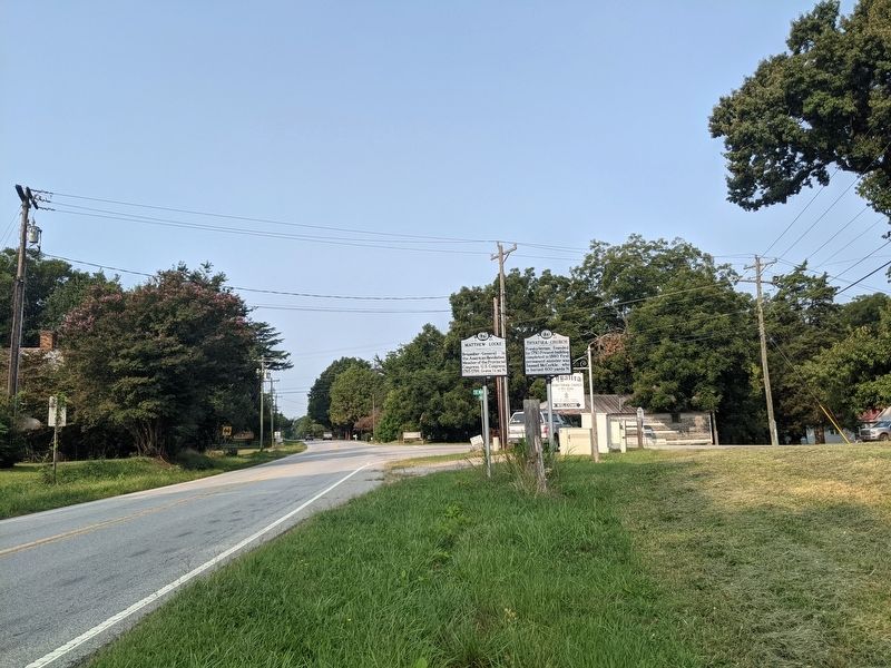
Matthew Locke

Photographed by Mike Wintermantel, September 13, 2021
1. Matthew Locke Marker
Erected 1989 by North Carolina Archives and Highway Departments. (Marker Number L-62.)
Topics. This historical marker is listed in these topic lists: Government & Politics • War, US Revolutionary.
Location. 35° 38.862′ N, 80° 38.118′ W. Marker is in Mt. Ulla, North Carolina, in Rowan County. It is at the intersection of Mooresville Road (State Highway 150) and White Road, on the right when traveling west on Mooresville Road. Touch for map. Marker is at or near this postal address: 8609 Mooresville Rd, Salisbury NC 28147, United States of America. Touch for directions.

Regionally, this marker is in North Carolina’s Piedmont. It is also in the American South and specifically in the Upper South. Globally, it is in North America, the Western Hemisphere, the Western World, and the Anglosphere. Historically, it finds itself in what was once the territory of the Mississippian Culture, one of the original Thirteen Colonies, one
this page online
Other nearby markers. At least 8 other markers are within 4 miles of this marker, measured as the crow flies: Thyatira Church (here, next to this marker); Thyatira Presbyterian Church Cemetery (approx. 0.2 miles away); Thyatira Presbyterian Church (approx. ¼ mile away); A Short History of Thyatira Presbyterian Church (USA) (approx. 0.3 miles away); Four Houses of Worship (approx. 0.4 miles away); Samuel McCorkle (approx. 1.2 miles away); Francis Locke (approx. 2.8 miles away); Back Creek Presbyterian Church (approx. 4 miles away). Touch for a list and map of all markers in Mt. Ulla.
Photographed by Mike Wintermantel, September 13, 2021
2. Matthew Locke Marker

Photographed by Mike Wintermantel, September 13, 2021
3. Matthew Locke Grave
Credits. This page was last revised on September 16, 2021. It was originally submitted on September 16, 2021, by Mike Wintermantel of Pittsburgh, Pennsylvania. This page has been viewed 465 times since then and 31 times this year. Photos: 1, 2, 3. submitted on September 16, 2021, by Mike Wintermantel of Pittsburgh, Pennsylvania.
