Franklinville in Cattaraugus County, New York — The American Northeast (Mid-Atlantic)
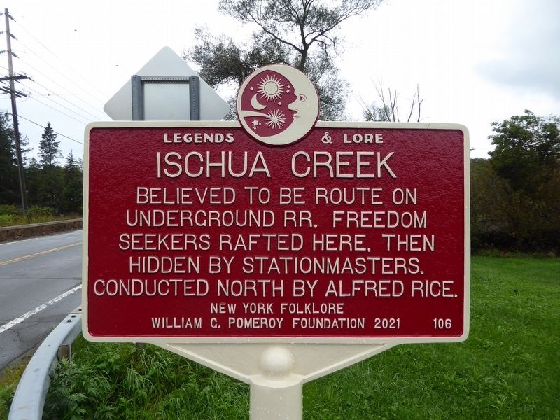
Ischua Creek
Legends & Lore
Erected 2021 by New York Folklore William G. Pomeroy Foundation. (Marker Number 106.)
Topics. This historical marker is listed in this topic list: Abolition & Underground RR.
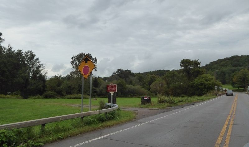
Location. 42° 19.261′ N, 78° 27.818′ W. Marker is in Franklinville, New York, in Cattaraugus County. Marker is on Salamanca Sugartown Rd (New York State Route 98), on the right when traveling west. Tight road / difficult to pull over. Touch for map. Marker is in this post office area: Franklinville NY 14737, United States of America. Touch for directions.
Other nearby markers. At least 8 other markers are within 8 miles of this marker, measured as the crow flies. Cadiz (about 600 feet away, measured in a direct line); Cadiz Cemetery (approx. ¼ mile away); Franklinville Veterans Memorial (approx. 1.2 miles away); Peter T. Tenbroeck (approx. 3 miles away); Early School (approx. 5.7 miles away); In Honor of PFC Albert "Dick" R. Boehmer (approx. 7 miles away); Revolutionary War Veterans (approx. 7 miles away); Veterans Memorial (approx. 7.2 miles away). Touch for a list and map of all markers in Franklinville.
Credits. This page was last revised on September 18, 2021. It was originally submitted on September 17, 2021, by Bruce Kelly of Perry, New York. This page has been viewed 238 times since then and 32 times this year. Photos: 1, 2, 3. submitted on September 17, 2021, by Bruce Kelly of Perry, New York. • Bill Pfingsten was the editor who published this page.


