Lava Shadows in Albuquerque in Bernalillo County, New Mexico — The American Mountains (Southwest)
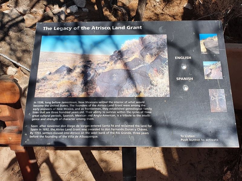
The Legacy of the Atrisco Land Grant
In 1598, long before Jamestown, New Mexicans settled the interior of what would become the United States. The founders of the Atrisco Land Grant were among the early pioneers of New Mexico, and as frontiermen, they established genealogical family lines that are three hundred years old. Their ability to survive within the cycles of three great cultural periods, Spanish, Mexican and Anglo-American, is a tribute to the intelligence and strength of character among them.
Soon after Governor don Diego de Vargas entered Santa Fe and reclaimed the land for Spain in 1692, the Atriso Land Grant was awarded to don Fernando Duran y Cháves. By 1703, settlers moved into Atrisco on the west bank of the Rio Grande, three years before the founding of the Villa de Albuquerque.
Topics. This historical marker is listed in this topic list: Colonial Era. A significant historical year for this entry is 1598.
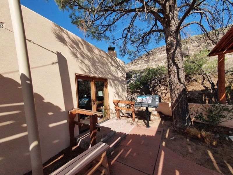
Location. 35° 8.341′ N, 106° 42.672′ W. Marker is in Albuquerque, New Mexico, in Bernalillo County. It is in Lava Shadows. Marker is on Western Trail NW north of Unser Boulevard NW, on the left when traveling east. Touch for map. Marker is in this post office area: Albuquerque NM 87120, United States of America. Touch for directions.
Other nearby markers. At least 8 other markers are within 2 miles of this marker, measured as the crow flies. A Proud Tradition (a few steps from this marker); The Measuring Lady (within shouting distance of this marker); One of the Largest Petroglyph Sites (within shouting distance of this marker); Mesa Point Trail (approx. 1½ miles away); a different marker also named Mesa Point Trail (approx. 1½ miles away); a different marker also named Mesa Point Trail (approx. 1½ miles away); Boca Negra Canyon (approx. 1½ miles away); a different marker also named Mesa Point Trail (approx. 1½ miles away). Touch for a list and map of all markers in Albuquerque.
Also see . . . The Atrisco Land Grant. (Submitted on September 17, 2021, by J. Makali Bruton of Accra, Ghana.)
Credits. This page was last revised on February 2, 2023. It was originally submitted on September 17, 2021, by J. Makali Bruton of Accra, Ghana. This page has been viewed 457 times since then and 87 times this year. Photos: 1, 2. submitted on September 17, 2021, by J. Makali Bruton of Accra, Ghana.

