Jacksonville in Morgan County, Illinois — The American Midwest (Great Lakes)
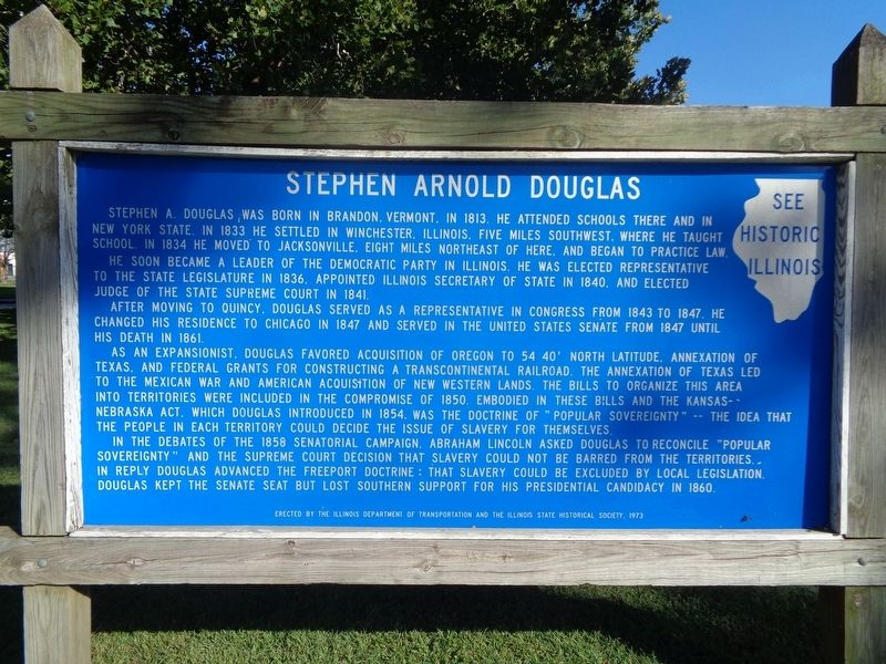
Stephen Arnold Douglas
He soon became a leader of the Democratic Party in Illinois. He was elected to the state legislature in 1836. Appointed Illinois Secretary of State in 1840, and elected judge of the State Supreme Court in 1841.
After moving to Quincy, Douglas served as a representative in Congress from 1843 to 1847, he changed his residence to Chicago in 1847 and served in the United States Senate from 1847 until his death in 1861.
As an expansionist, Douglas favored acquisition of Oregon to 54 40' north latitude, annexation of Texas, and federal grants for constructing a transcontinental railroad. The annexation of Texas led to the Mexican War and American acquisition of new western lands. The bills to organize this area into territories were included in the Compromise of 1850. Embodied in these bills and the Kansas-Nebraska Act, which Douglas introduced in 1854, was the doctrine of "popular sovereignty" -- the idea that the people in each territory could decide the issue of slavery for themselves.
In the debates of the 1858 senatorial campaign, Abraham Lincoln asked Douglas to reconcile "popular sovereignty" and the Supreme Court decision that slavery could not be barred from the territories. In reply Douglas annexed the Freeport Doctrine: that slavery could be excluded by local legislation. Douglas kept the Senate seat but lost southern support for his Presidential candidacy in 1860.
Erected 1973 by Illinois Department of Transportation and the Illinois State Historical Society.
Topics and series. This historical marker is listed in these topic lists: Education • Settlements & Settlers • War, Mexican-American. In addition, it is included in the Former U.S. Presidents: #16 Abraham Lincoln, and the Illinois State Historical Society series lists. A significant historical year for this entry is 1813.
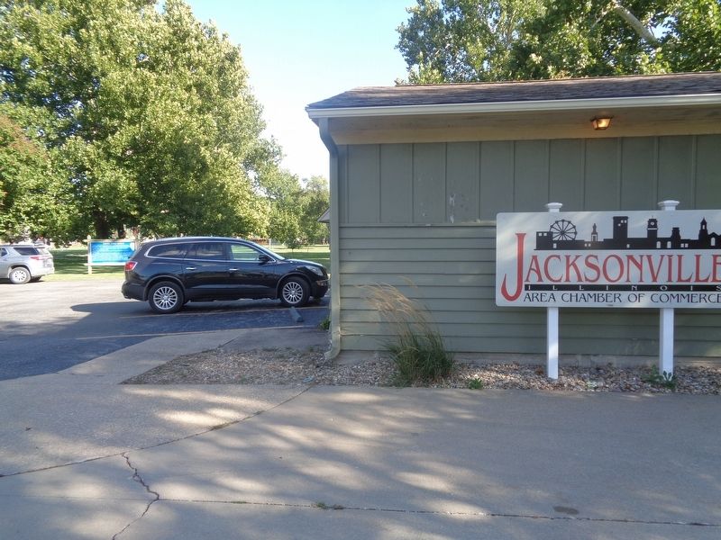
Location. 39° 43.358′ N, 90° 13.852′ W. Marker is in Jacksonville, Illinois, in Morgan County. Marker can be reached from West Morton Avenue (Illinois Route 104) east of South West Street. Marker is located outside the Jacksonville Chamber of Commerce building, which is located at the north end of Jacksonville Community Park. Touch for map. Marker is at or near this postal address: 155 W Morton Ave, Jacksonville IL 62650, United States of America. Touch for directions.
Other nearby markers. At least 8 other markers are within walking distance of this marker. Big Eli Wheel No. 17 (about 400 feet away, measured in a direct line); First Illinois State Hospital for the Insane
(approx. half a mile away); New Method Book Bindery (approx. ¾ mile away); MacMurray College (approx. ¾ mile away); Greene Vardiman Black (approx. 0.8 miles away); The Farmers State Bank and Trust Company (approx. 0.8 miles away); William Jennings Bryan (approx. 0.8 miles away); 1858 Senate Race Here (approx. 0.8 miles away). Touch for a list and map of all markers in Jacksonville.
More about this marker. This is a newer version of a marker that was originally placed north of Winchester, Illinois. It was located at a roadside park off Old U.S. 36 (picture). Like the current marker, this was done in the same format that the Illinois State Historical Society did during the 1960s and 1970s (blue rectangular with white text, with "See Historic Illinois" at the top-right side).
Credits. This page was last revised on September 18, 2021. It was originally submitted on September 17, 2021, by Jason Voigt of Glen Carbon, Illinois. This page has been viewed 161 times since then and 7 times this year. Photos: 1, 2. submitted on September 18, 2021, by Jason Voigt of Glen Carbon, Illinois.

