Near Galax in Grayson County, Virginia — The American South (Mid-Atlantic)
Old County Seat
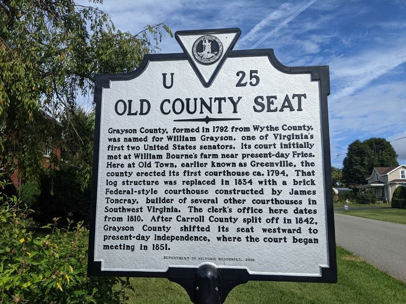
Photographed by Mike Wintermantel, September 17, 2021
1. Old County Seat Marker
Erected 2016 by Department of Historic Resources. (Marker Number U-25.)
Topics. This historical marker is listed in this topic list: Notable Buildings. A significant historical year for this entry is 1792.
Location. 36° 39.284′ N, 80° 57.642′ W. Marker is near Galax, Virginia, in Grayson County. It is at the intersection of Greenville Road (Virginia Route 640) and Justice Road ( Route 634), on the right when traveling west on Greenville Road. Touch for map. Marker is
this page online

Regionally, this marker is in Southwest Virginia and in the Blue Ridge Highlands. It is also in the American South, specifically in the Upper South, in Appalachia, and specifically in Southern Appalachia. Globally, it is in North America, the Western Hemisphere, the Western World, and the Anglosphere. Historically, it finds itself in what was once the territory of the Mississippian Culture, one of the original Thirteen Colonies, one of the Confederate States of America, and the Antebellum South.
Other nearby markers. At least 8 other markers are within 3 miles of this marker, measured as the crow flies: Fries (approx. 0.9 miles away); Veterans Memorial (approx. 1.7 miles away); An Early Water System Before Electricity Was Available (approx. 1.7 miles away); Carroll County / Grayson County (approx. 2 miles away); Furniture Manufacturing: A Firm Seat (approx. 2 miles away); Galax: Home of Traditional Mountain Music (approx. 2.1 miles away); The Railroad: Lifeline to the World (approx. 2.1 miles away); Galax
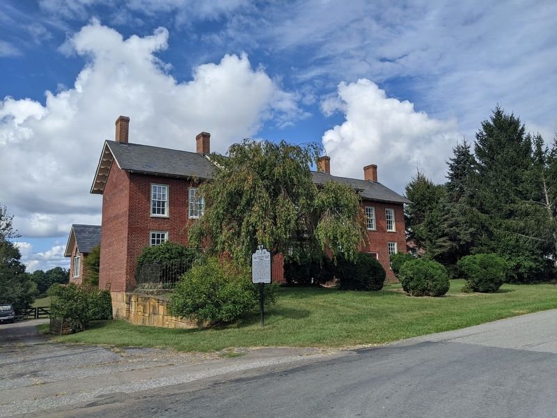
Photographed by Mike Wintermantel, September 17, 2021
2. Old County Seat Marker
More about this marker. This marker replaced the previous marker across the street.
Credits. This page was last revised on April 23, 2026. It was originally submitted on September 18, 2021, by Mike Wintermantel of Pittsburgh, Pennsylvania. This page has been viewed 748 times since then and 46 times this year. Photos: 1, 2. submitted on September 18, 2021, by Mike Wintermantel of Pittsburgh, Pennsylvania.
